MyTopo
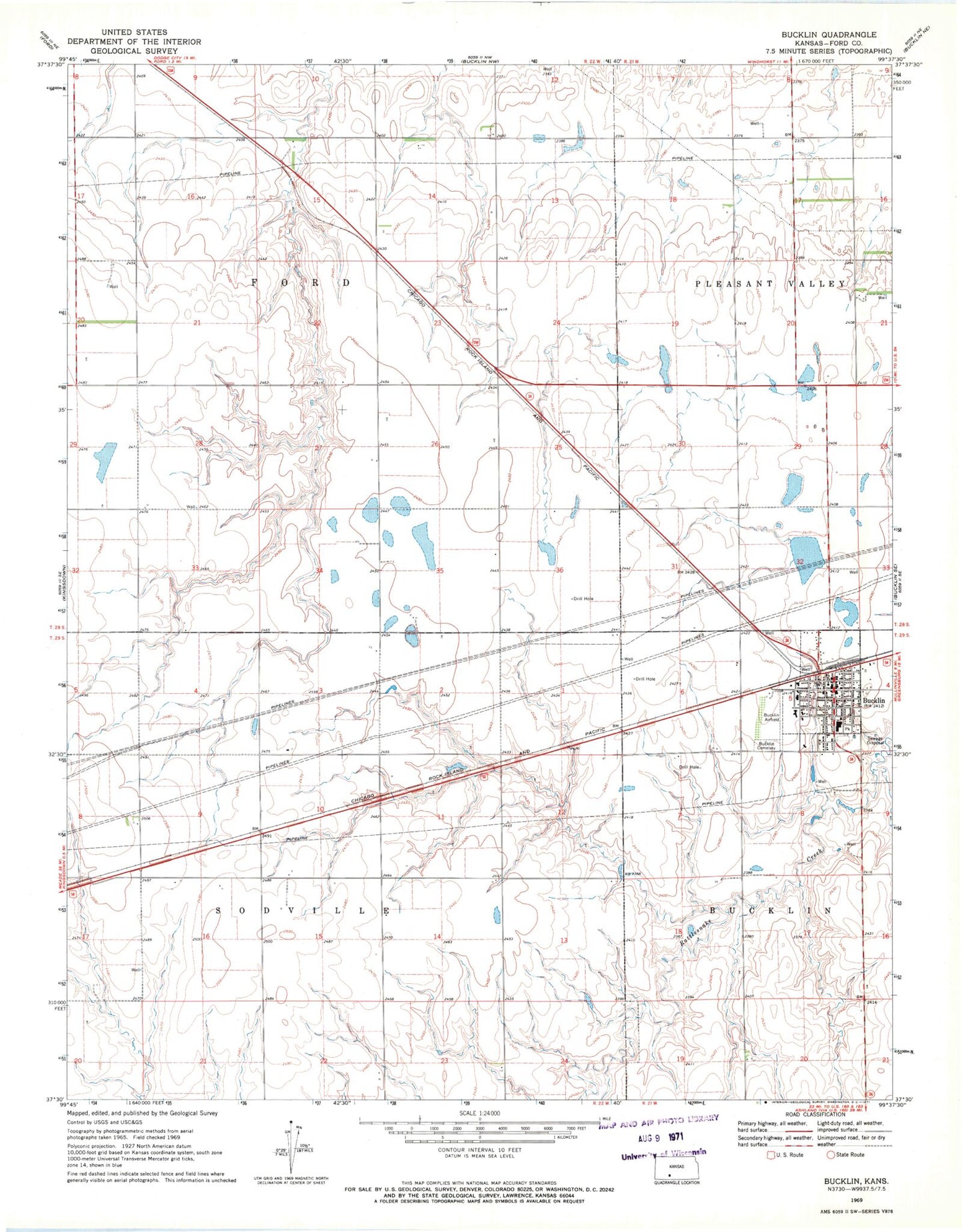
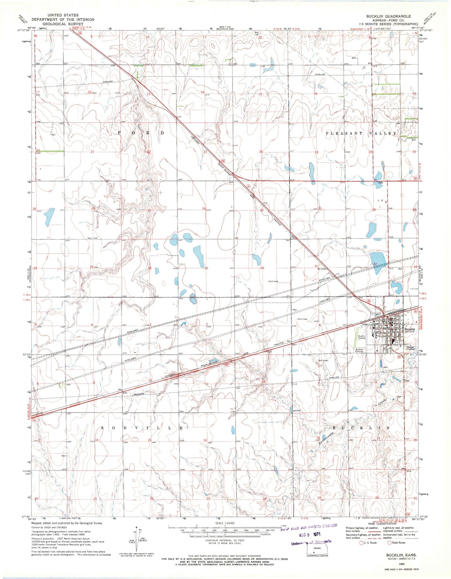
Classic USGS Bucklin Kansas 7.5'x7.5' Topo Map
Couldn't load pickup availability
Historical USGS topographic quad map of Bucklin in the state of Kansas. Map scale may vary for some years, but is generally around 1:24,000. Print size is approximately 24" x 27"
This quadrangle is in the following counties: Ford.
The map contains contour lines, roads, rivers, towns, and lakes. Printed on high-quality waterproof paper with UV fade-resistant inks, and shipped rolled.
Contains the following named places: Bucklin, Bucklin Airport, Bucklin Cemetery, Bucklin Christian Church, Bucklin City Hall, Bucklin Elementary School, Bucklin First Presbyterian Church, Bucklin High School, Bucklin Police Department, Bucklin Post Office, Bucklin Public Library, City of Bucklin, First United Methodist Church, Fonda, Ford County Fire and Emergency Medical Services Station 4, Ford County Fire Station and Emergency Medical Services Station 4, Free United Methodist Church, Offerle Co - Operative Grain and Supply Co Grain Elevator Number 3, Township of Sodville, ZIP Code: 67834