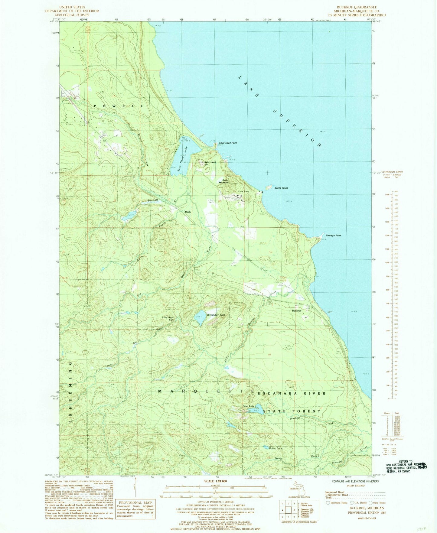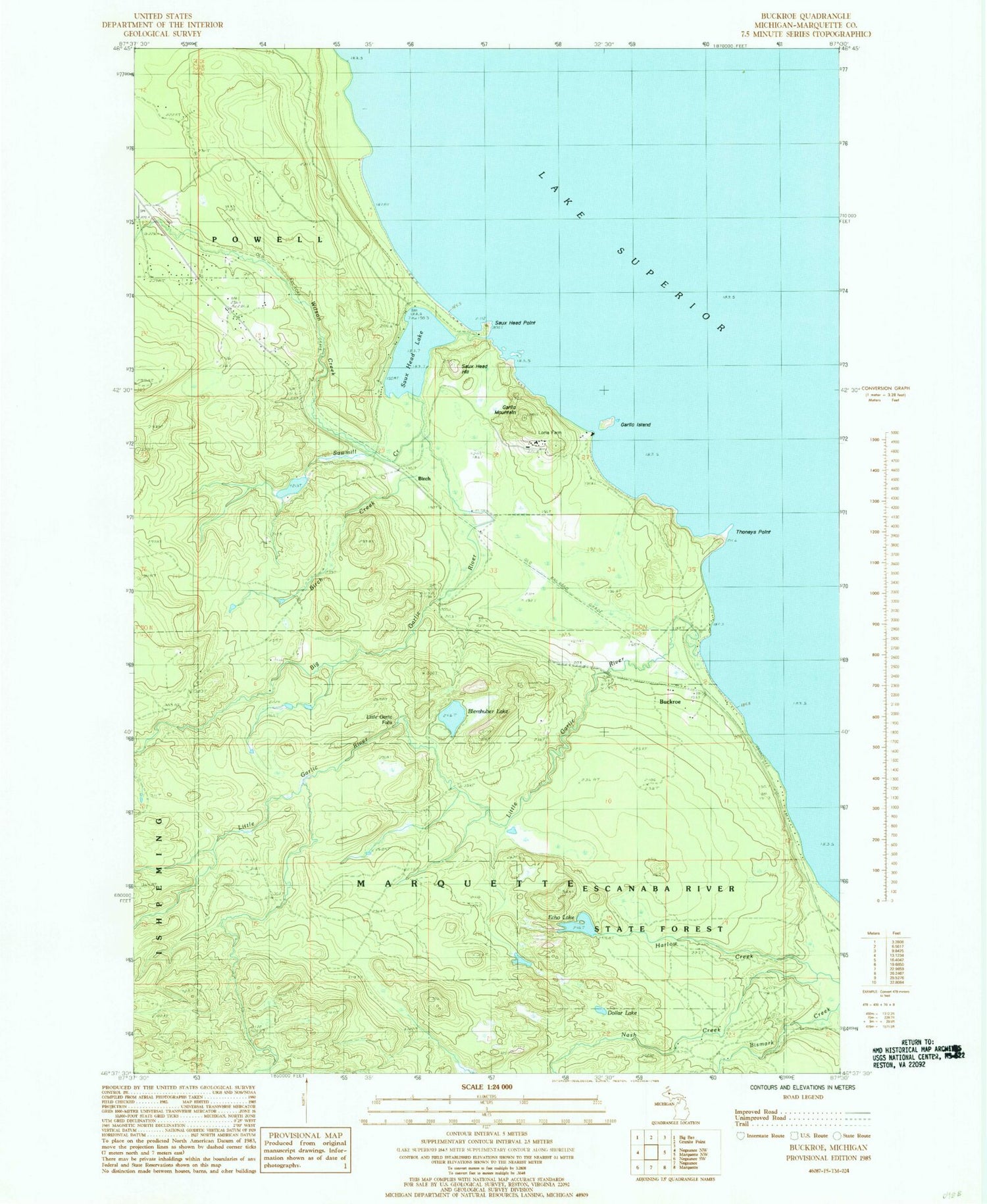
MyTopo
Classic USGS Buckroe Michigan 7.5'x7.5' Topo Map
Couldn't load pickup availability
Historical USGS topographic quad map of Buckroe in the state of Michigan. Typical map scale is 1:24,000, but may vary for certain years, if available. Print size: 24" x 27"
This quadrangle is in the following counties: Marquette.
The map contains contour lines, roads, rivers, towns, and lakes. Printed on high-quality waterproof paper with UV fade-resistant inks, and shipped rolled.
Contains the following named places: Big Garlic River, Blemhuber Lake, Buckroe, Echo Lake, Garlic Island, Garlic Mountain, Little Garlic River, Nash Creek, Saux Head Hill, Saux Head Lake, Sawmill Creek, Thoneys Point, Wilson Creek, Birch, Birch Creek, Little Garlic Falls, Dollar Lake, Marquette County, Saux Head Point, Birch Station (historical), Birch Post Office (historical), Powell Township Fire Department and Emergency Medical Services Station 2 Halfway