MyTopo
Classic USGS Bucks Lake Wisconsin 7.5'x7.5' Topo Map
Couldn't load pickup availability
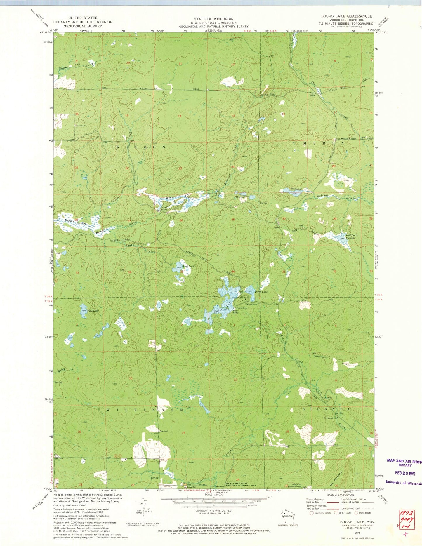
Historical USGS topographic quad map of Bucks Lake in the state of Wisconsin. Map scale is 1:24000. Print size is approximately 24" x 27"
This quadrangle is in the following counties: Rusk.
The map contains contour lines, roads, rivers, towns, and lakes. Printed on high-quality waterproof paper with UV fade-resistant inks, and shipped rolled.
Contains the following named places: Audie Lake, Blue Hills G-129.9 Dam, Blue Hills Lookout Tower, Bucks Lake, Frontier School (historical), Hardwood Trail, Hill Trail Flowage, Johns Creek, Lost Lake, Louler Creek, Mount Atlanta, Murphy Flowage, Perch Lake, Pine Lake, South Fork Hemlock Creek, Star Lake, Tainter 2WP1283 Dam, Three Lakes, Town of Wilkinson, Town of Wilson, Wilkinson Townhall


