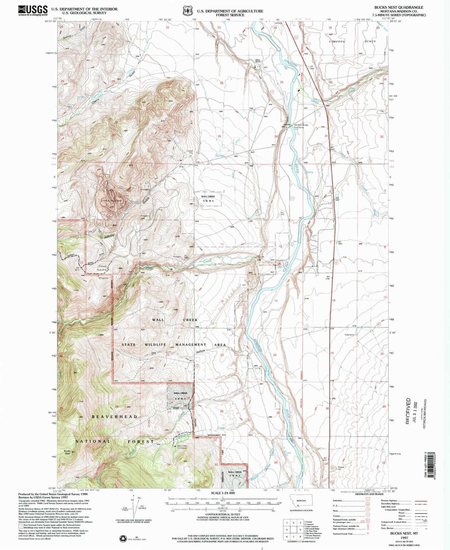
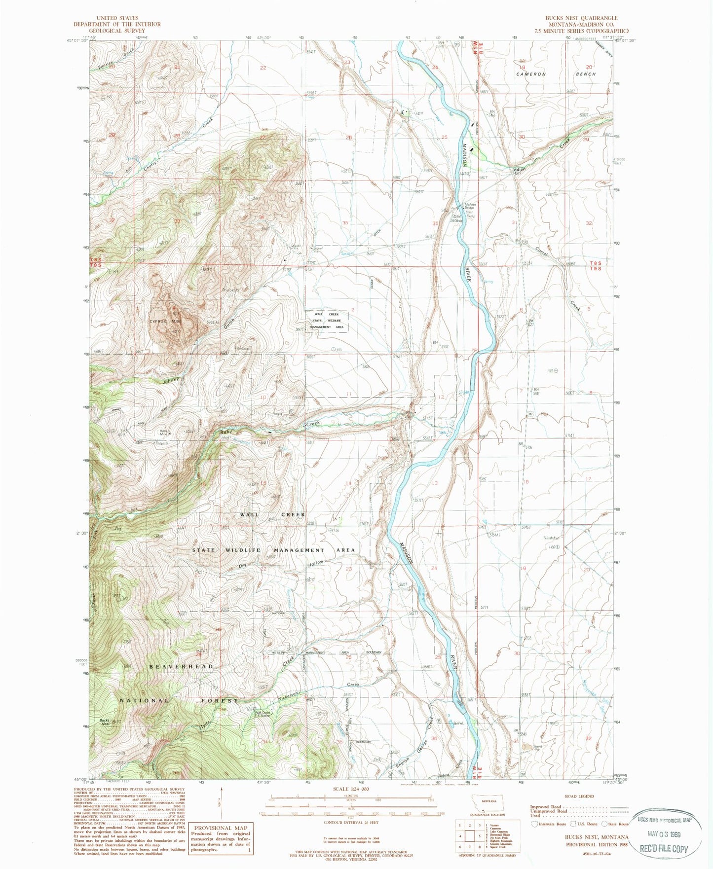
MyTopo
Classic USGS Bucks Nest Montana 7.5'x7.5' Topo Map
Couldn't load pickup availability
Historical USGS topographic quad map of Bucks Nest in the state of Montana. Map scale is 1:24000. Print size is approximately 24" x 27"
This quadrangle is in the following counties: Madison.
The map contains contour lines, roads, rivers, towns, and lakes. Printed on high-quality waterproof paper with UV fade-resistant inks, and shipped rolled.
Contains the following named places: 08S01W25BBC_01 Well, 08S01W34DDDB01 Well, 09S01E07CBAC01 Well, 09S01E31BCAB01 Well, 09S01W01DBBA01 Well, 09S01W12DCAD01 Well, Abe (historical), Abe Post Office (historical), Abe School (historical), Bobcat Creek, Bucks Nest, Corral Creek, Cyprus Mine, Dry Fork Trail, Dry Hollow, English George Creek, Horse Creek Ditch, Hyde Creek, Hyde Creek Ditch, Indian Creek, Johnny Gulch, Krauss Sawmill, Lichte Ranch, Lichte Ruby Creek Ditch, McAtee Bridge, McAtee Bridge Sportsmans Access, Mountain Talc Mine, Nickerson Creek, Olsen Ditch, Olsen Ranch, Ruby Creek, Ruby Mine, South Fork Hyde Creek, South Fork Ruby Creek, Wall Creek Forest Service Station, Wall Creek State Wildlife Management Area, West Madison Recreation Area