MyTopo
Classic USGS Bucks Pond Michigan 7.5'x7.5' Topo Map
Regular price
$16.95
Regular price
Sale price
$16.95
Unit price
per
Couldn't load pickup availability
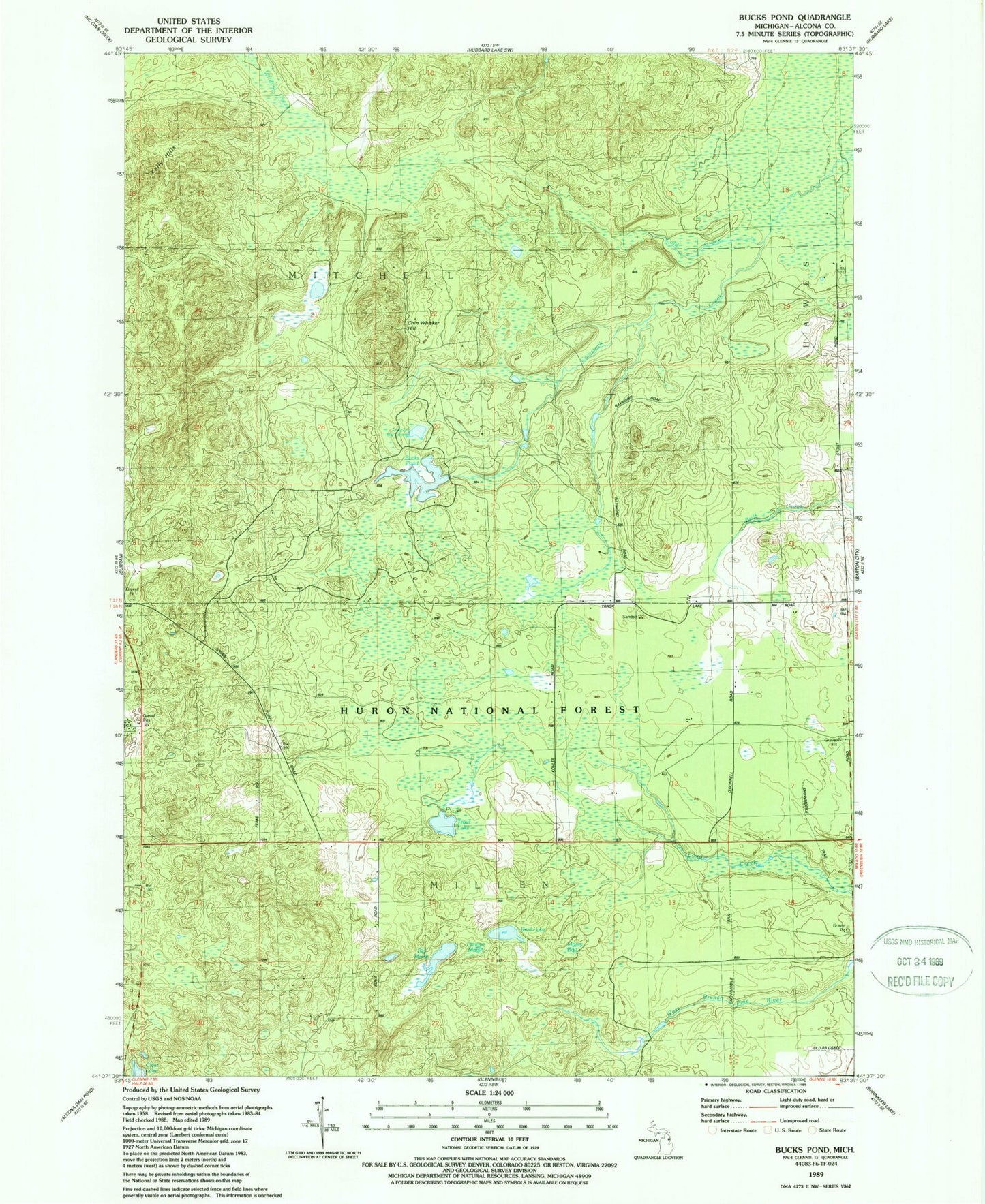
Historical USGS topographic quad map of Bucks Pond in the state of Michigan. Map scale may vary for some years, but is generally around 1:24,000. Print size is approximately 24" x 27"
This quadrangle is in the following counties: Alcona.
The map contains contour lines, roads, rivers, towns, and lakes. Printed on high-quality waterproof paper with UV fade-resistant inks, and shipped rolled.
Contains the following named places: Big Marsh, Bucks Pond, Chin Whisker Hill, Circle T Ranch Airport, Clear Lake, Cold Creek, Curran Lookout Tower, Fannys Marsh, Kelly Hills, Lake in the Green, Mossy Bog, Reid Lake, Township of Millen, Trout Lake, ZIP Code: 48705