MyTopo
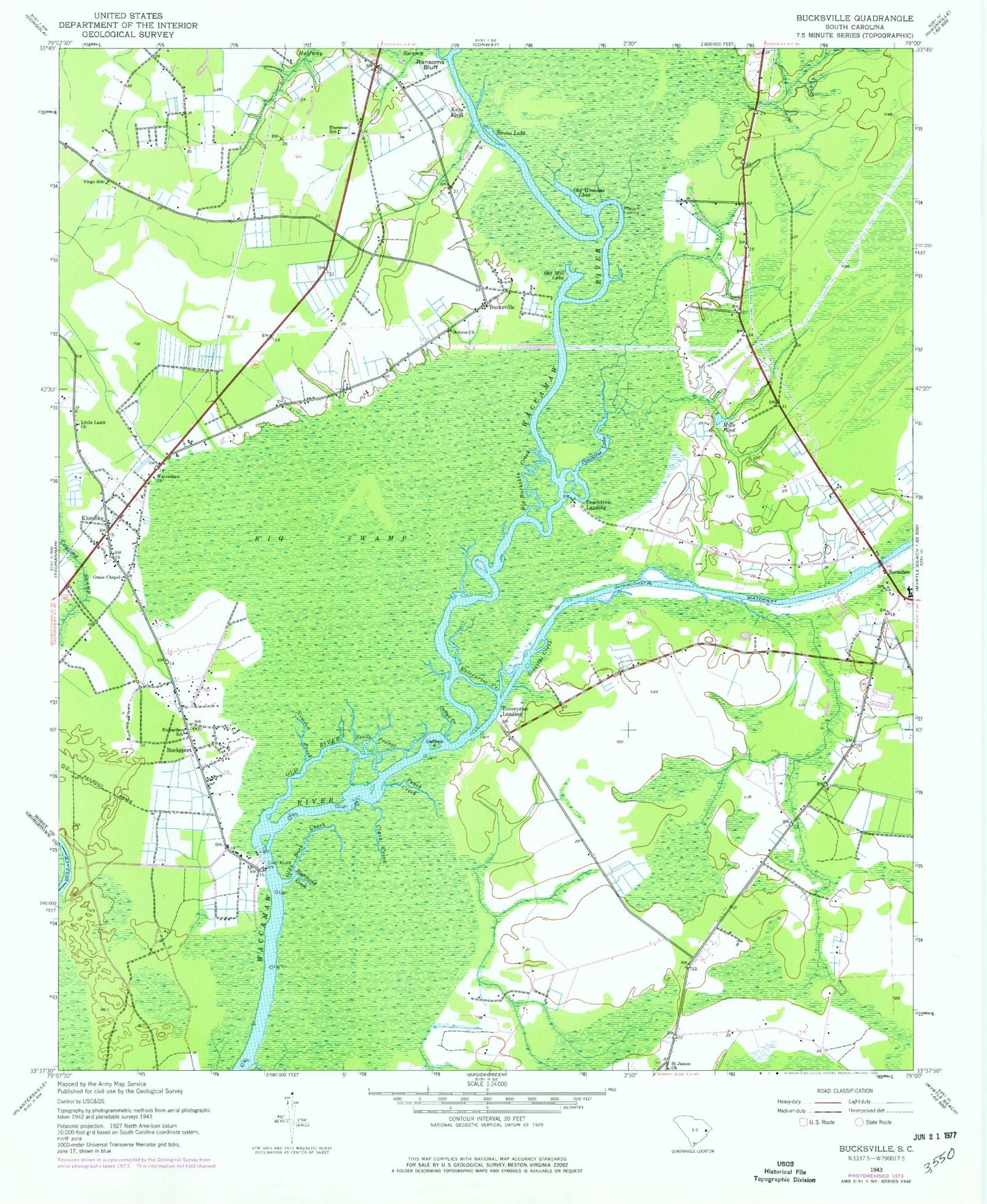
Classic USGS Bucksville South Carolina 7.5'x7.5' Topo Map
Couldn't load pickup availability
Historical USGS topographic quad map of Bucksville in the state of South Carolina. Map scale is 1:24000. Print size is approximately 24" x 27"
This quadrangle is in the following counties: Georgetown, Horry.
The map contains contour lines, roads, rivers, towns, and lakes. Printed on high-quality waterproof paper with UV fade-resistant inks, and shipped rolled.
Contains the following named places: Big Buckskin Creek, Browns Chapel, Buck Graveyard, Bucksport, Bucksport Census Designated Place, Bucksport School (historical), Bucksville, Burgess Elementary School, Clark Creek, Coopers, Ebenezar School, Ebenezer Church (historical), Eddy Lake (historical), Enterprise Creek, Enterprise Landing, Grace Chapel, Halfway Swamp, Hebron Church, Horry County Fire Department Scipio Station 20, Horry County Fire Department Socastee Station 1, Horry County Fire Department Station 3, Horry County Memorial Library Bucksport Branch, Horry County Memorial Library Socastee Branch, Horry County Police Department South Precinct, Jerusalem Church, Keys Field, Klondike, Little Lamb Church, Mills Pond, Mount Moriah Church, Nimrod Creek, Oatbed Creek, Oatbed Island, Old Dock Creek, Old Mill Lake, Old River, Old Womans Lake, Osprey Marina, Palmetto Bays Elementary School, Peach Creek, Peachtree Ferry (historical), Peachtree Lake, Peachtree Landing, Port Harrelson (historical), Raccoon Run Golf Club, Ransoms Bluff, Rheuark Landing, Richardson School, Righthand Creek, Saint James Church, Salem Church, Schwartz Wastewater Treatment Plant, Seven Prongs, Socastee Census Designated Place, Socastee Church (historical), Socastee Church of God, Socastee Creek, Socastee Elementary School, Socastee Middle School, Socastee United Methodist Church, Strons Lake, Toddville Church, Virgo School, Waccamaw Church


