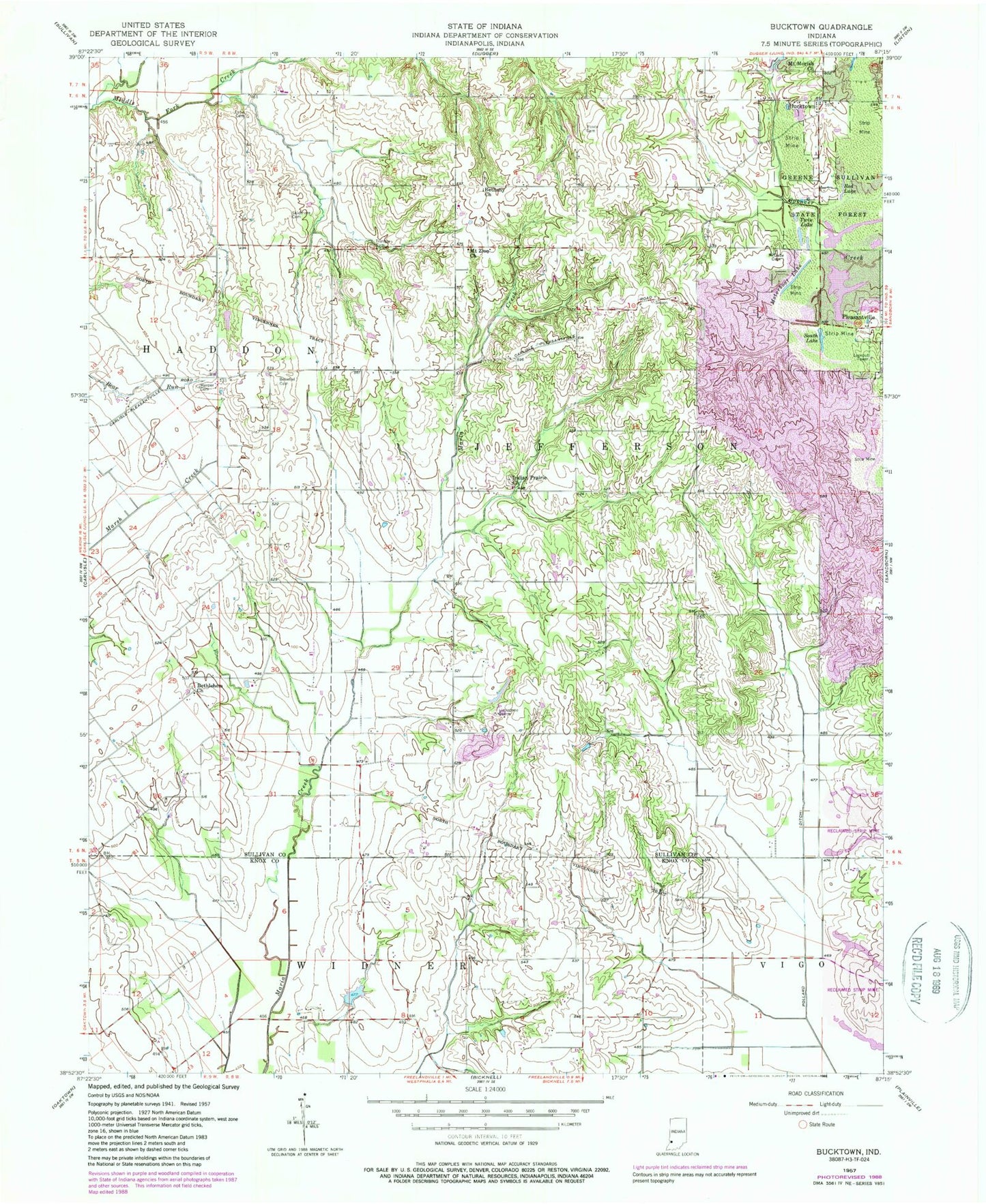
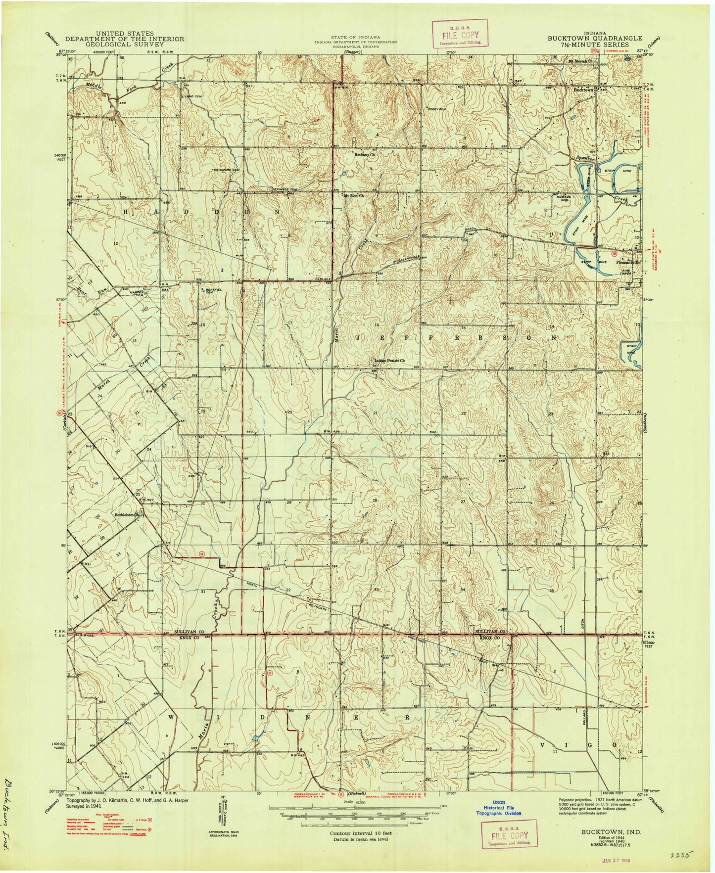
MyTopo
Classic USGS Bucktown Indiana 7.5'x7.5' Topo Map
Couldn't load pickup availability
Historical USGS topographic quad map of Bucktown in the state of Indiana. Map scale may vary for some years, but is generally around 1:24,000. Print size is approximately 24" x 27"
This quadrangle is in the following counties: Knox, Sullivan.
The map contains contour lines, roads, rivers, towns, and lakes. Printed on high-quality waterproof paper with UV fade-resistant inks, and shipped rolled.
Contains the following named places: Benefiel Cemetery, Bethany Church, Bethlehem Church, Bucktown, Harper Cemetery, Indian Prairie Church, Kixmiller Quarry, Land Cemetery, McDade Cemetery, More Lake, Motorboat Lake, Mount Moriah Church, Mount Zion Church, Pleasantville, Pleasantville - Jefferson Township Volunteer Fire Department, Pollard Ditch, Posey Cemetery, Red Lake, Skidmore Cemetery, South Lake, Township of Jefferson, Trimble Cemetery, Twin Lake