MyTopo
Classic USGS Bucyrus Kansas 7.5'x7.5' Topo Map
Couldn't load pickup availability
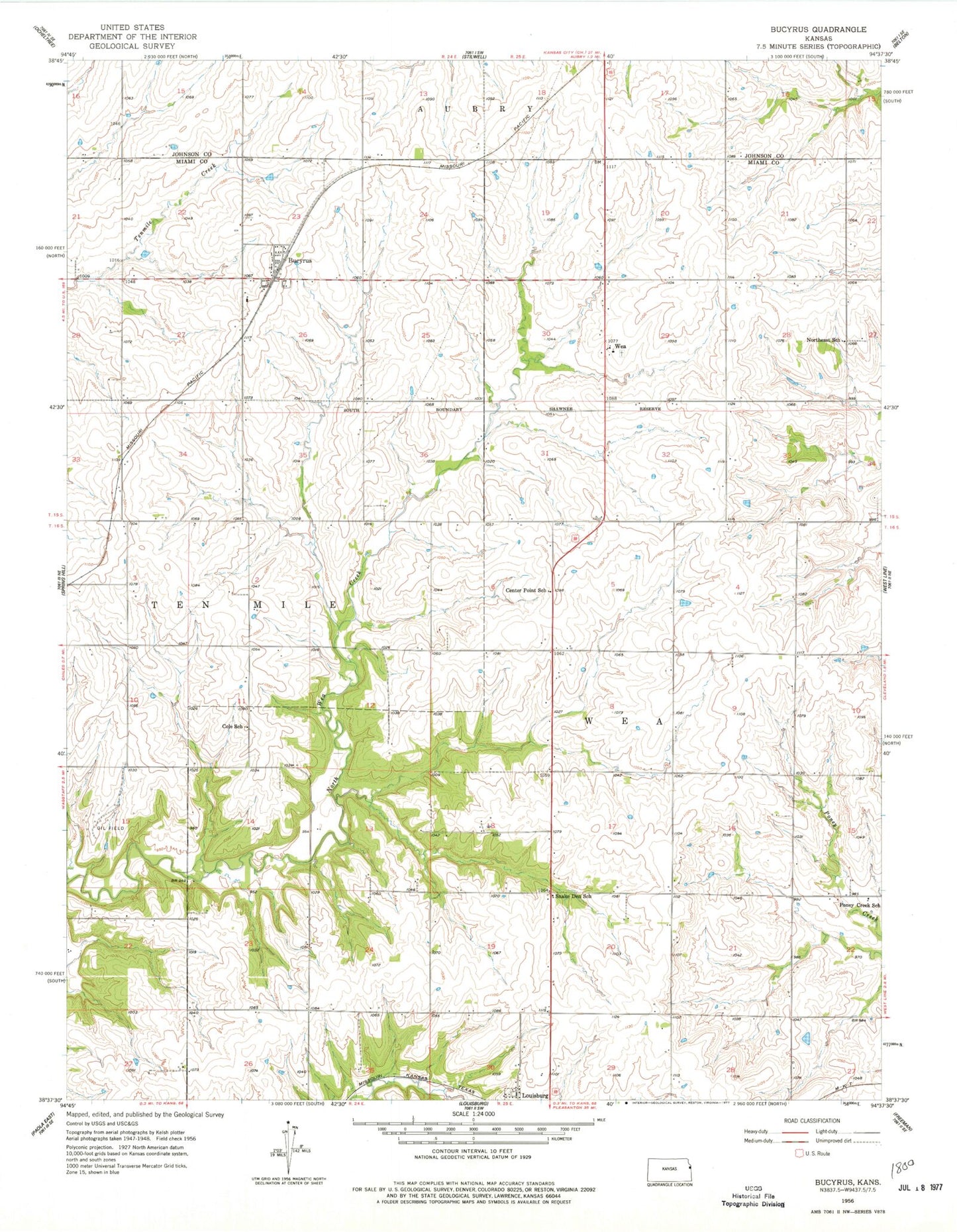
Historical USGS topographic quad map of Bucyrus in the state of Kansas. Map scale may vary for some years, but is generally around 1:24,000. Print size is approximately 24" x 27"
This quadrangle is in the following counties: Johnson, Miami.
The map contains contour lines, roads, rivers, towns, and lakes. Printed on high-quality waterproof paper with UV fade-resistant inks, and shipped rolled.
Contains the following named places: Albright Airport, Bucyrus, Bucyrus Cemetery, Bucyrus Census Designated Place, Bucyrus Elementary School, Bucyrus Post Office, Bucyrus Wastewater Plant, Center Point School, Chiles Airpark, Cole School, Cross Cemetery, Faith Chapel Assembly of God Church - Louisburg, Guetterman Brothers Elevator Grain Elevator Number 1, Louisburg Baptist Temple, Northeast School, Pine Sod Ranch Airport, Poney Creek School, Powell Observatory, Queen of the Holy Rosary Catholic Church, Queen of the Holy Rosary Cemetery, Queen of the Holy Rosary Wea Catholic School, Rockville Elementary School, Snake Den School, Township of Wea, Wea, ZIP Code: 66013