MyTopo
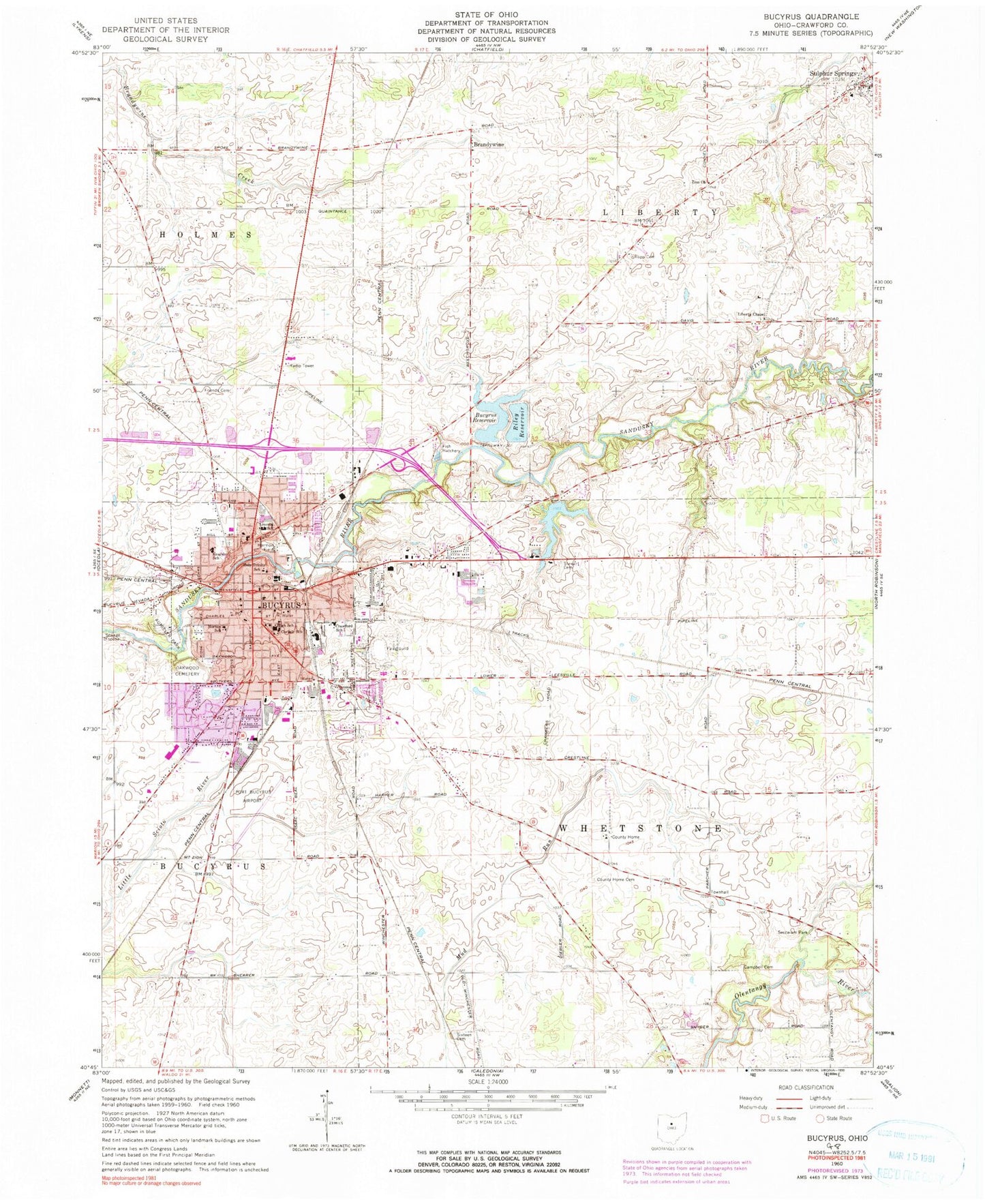
Classic USGS Bucyrus Ohio 7.5'x7.5' Topo Map
Couldn't load pickup availability
Historical USGS topographic quad map of Bucyrus in the state of Ohio. Map scale may vary for some years, but is generally around 1:24,000. Print size is approximately 24" x 27"
This quadrangle is in the following counties: Crawford.
The map contains contour lines, roads, rivers, towns, and lakes. Printed on high-quality waterproof paper with UV fade-resistant inks, and shipped rolled.
Contains the following named places: Assembly of God Church, Aumiller Park, Avita Health System - Bucyrus Hospital, Brandywine, Brandywine Post Office, Bucyrus, Bucyrus Commercial Historical District, Bucyrus Evangelistic Center, Bucyrus Fire Department, Bucyrus High School, Bucyrus Middle School, Bucyrus Police Department, Bucyrus Post Office, Bucyrus Public Library, Bucyrus Reservoir, Bucyrus Reservoir Number One, Bucyrus Reservoir Number One Dam, Bucyrus Reservoir Number Two, Bucyrus Reservoir Number Two Dam, Bucyrus Water Treatment Plant, Camp Millard, Campbell Cemetery, Carlisle Elementary School, Church of Christ, Church of God, Church of the Nazarene, City of Bucyrus, County Home Cemetery, Crawford County, Crawford County Courthouse, Crawford County Fairgrounds, Crawford County Home, Crawford County Jail, Crawford County Sheriff's Office, Crawford School, Elkhorn Lake Landing Strip, Epworth United Methodist Church, First Baptist Church, First Christian Church, First Church of Christ Scientist, First Freewill Baptist Church, First Presbyterian Church, First United Brethren Church, First United Methodist Church, Friends Cemetery, Good Hope Lutheran Church, Grace United Methodist Church, Harmon Field, Hill Street Mobile Home Park, Holy Trinity Catholic Church, Holy Trinity Cemetery, Holy Trinity School, Hope Church, Kearsley School, Kilbourne Elementary School, Liberty Chapel Cemetery, Liberty Chapel United Methodist Church, Liberty Township Fire Department, Lifestar Emergency Medical Services, Lincoln Elementary School, Linden Park, Maple Grove Park, Mcfarland's Mobile Home Park, Medcorp Emergency Medical Services, Northwood Estates, Norton Elementary School, Oakwood Cemetery, Ohio State Highway Patrol - Bucyrus Patrol Post, Olentangy Battle Monument, Pfeifer Farms, Port Bucyrus-Crawford County Airport, Riley Reservoir, Riley Reservoir Dam, River Edge Mobile Park, Rupp Cemetery, Saint James Episcopal Church, Saint Johns United Church of Christ, Saint Pauls Lutheran Church, Salem Cemetery, School Number 1, School Number 2, School Number 3, School Number 4, School Number 5, School Number 6, School Number 7, Seccaium Park, Second Baptist Church, Sherer School, Sixteen Cemetery, Southern Lights Shopping Center, Stewart Cemetery, Sulphur Springs, Sulphur Springs Census Designated Place, Sulphur Springs Elementary School, Sulphur Springs Post Office, Tiffin Road Cemetery, Township of Liberty, Township of Whetstone, Washington Square, Waterford Glen, WBCO-AM (Bucyrus), Wesleyan Methodist Church, Whetstone Township Fire Department Station 2, WQEL-FM (Bucyrus), Zion Church, ZIP Codes: 44820, 44881


