MyTopo
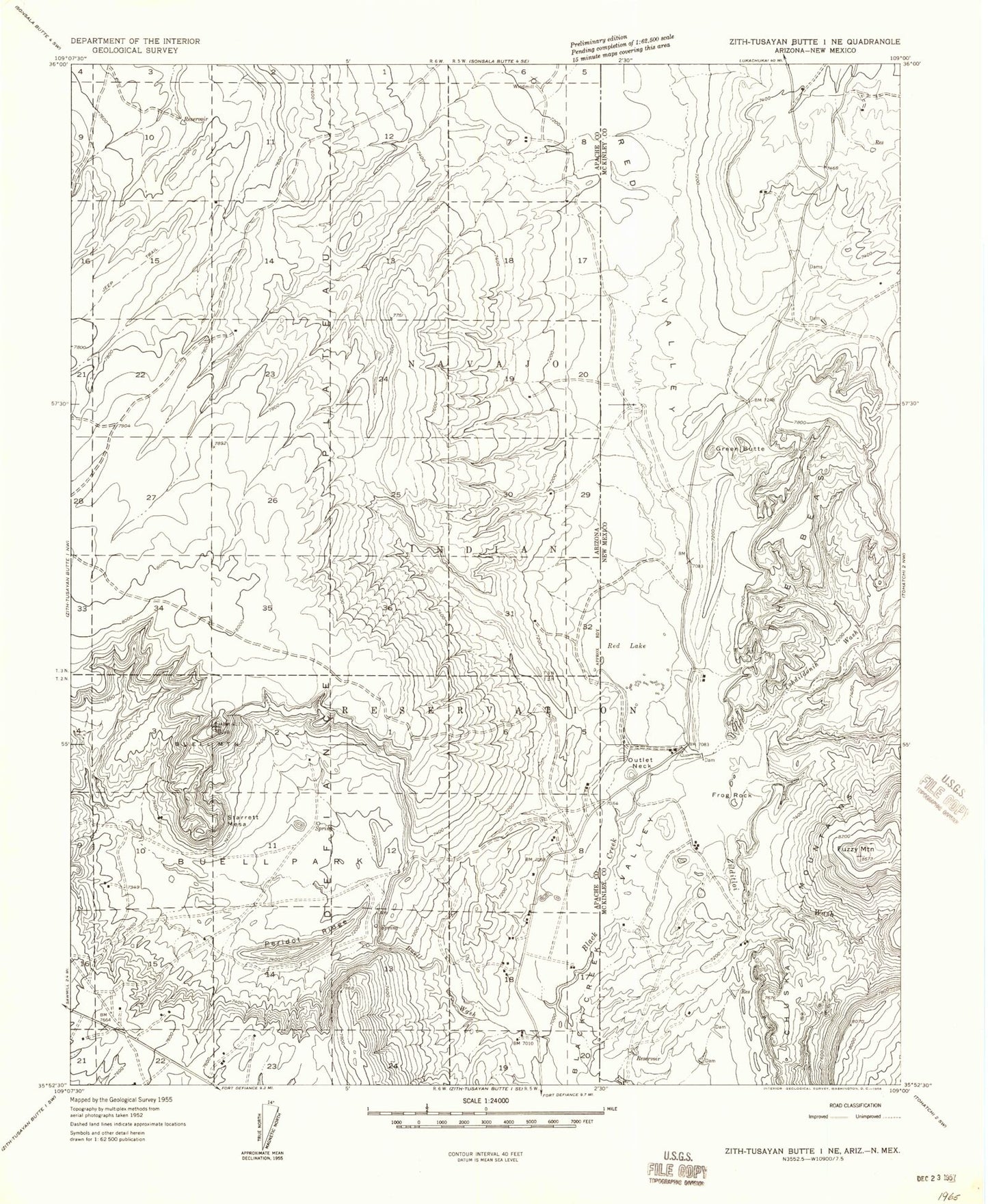
Classic USGS Buell Park Arizona 7.5'x7.5' Topo Map
Couldn't load pickup availability
Historical USGS topographic quad map of Buell Park in the states of Arizona, New Mexico. Map scale may vary for some years, but is generally around 1:24,000. Print size is approximately 24" x 27"
This quadrangle is in the following counties: Apache, McKinley.
The map contains contour lines, roads, rivers, towns, and lakes. Printed on high-quality waterproof paper with UV fade-resistant inks, and shipped rolled.
Contains the following named places: Buell Mountain, Buell Park, Frog Rock, Green Knobs, Justins Windmill, Navajo, Navajo Census Designated Place, Navajo Community Library, Navajo Elementary School, Navajo Pine Volunteer Fire and Rescue, Outlet Neck, Peridot Ridge, Red Lake, Red Lake Chapter, Red Lake Chapter House, Red Lake Dam, Red Lake Natural Bridge, Red Valley, Split Mesa, Sterrett Mesa, Tohdildonih Wash, Zilditloi Mountain, Zilditloi Wash