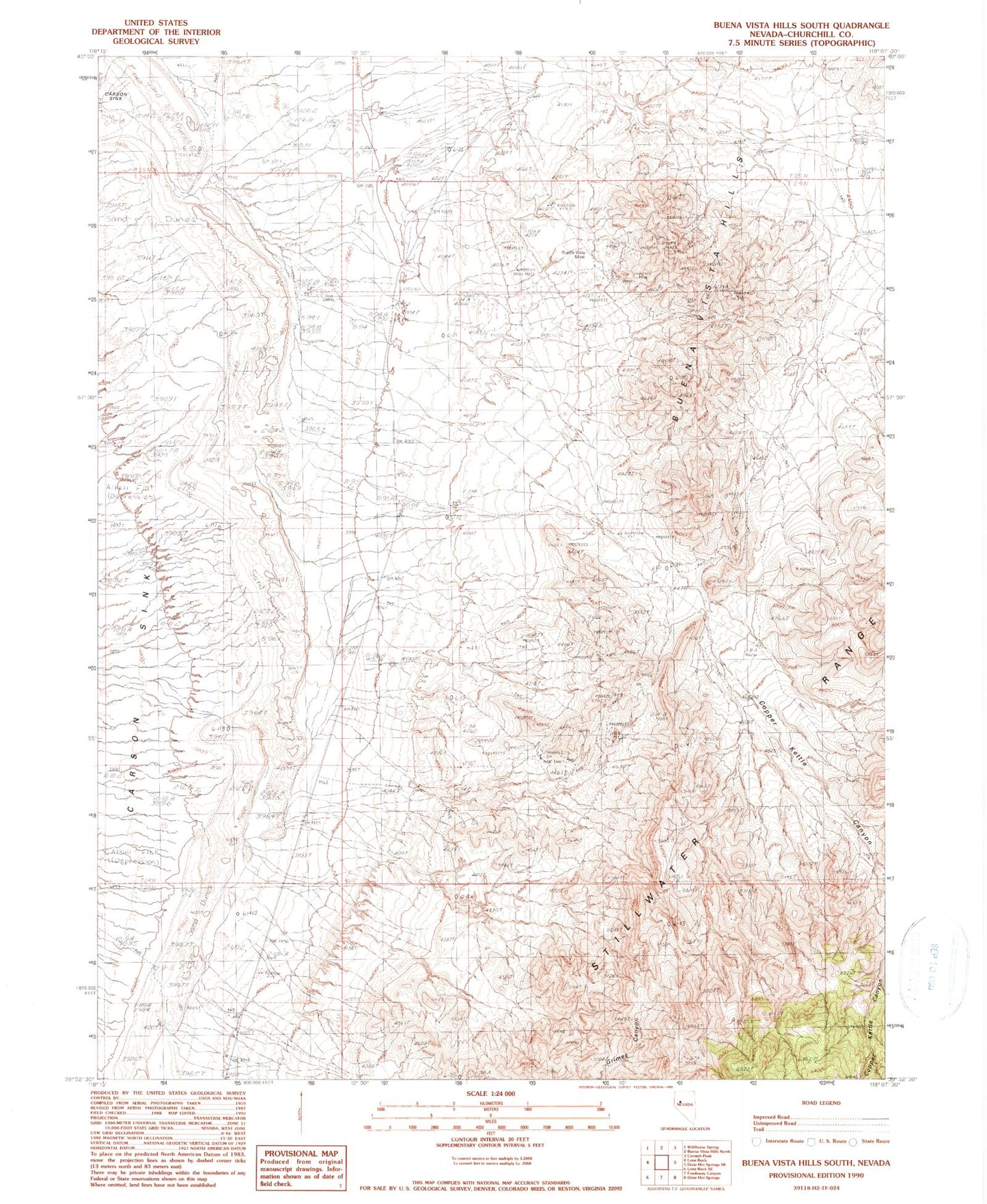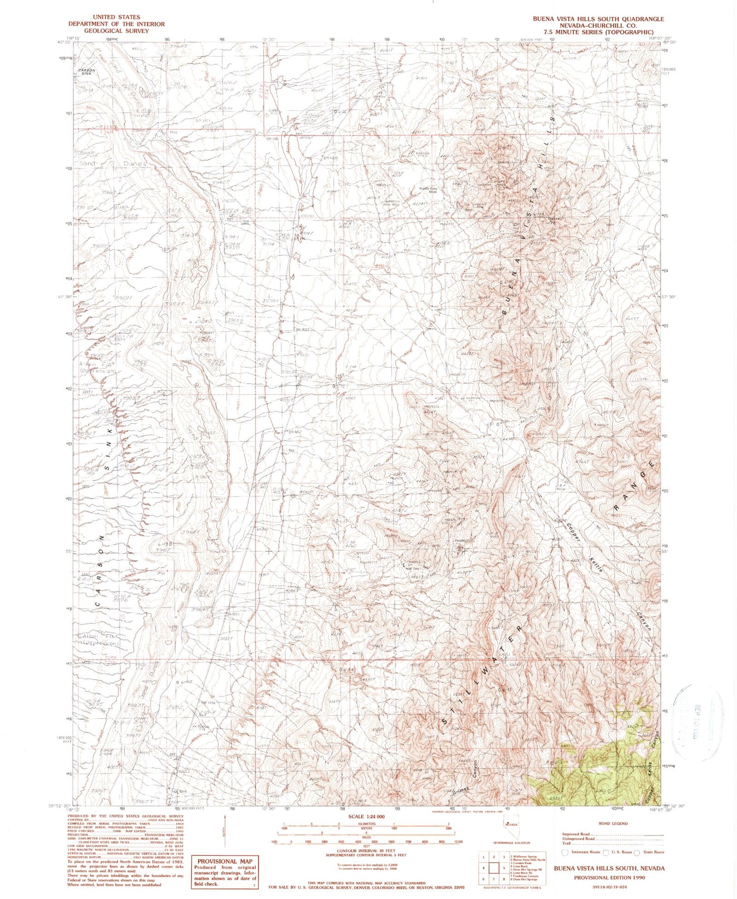
MyTopo
Classic USGS Buena Vista Hills South Nevada 7.5'x7.5' Topo Map
Regular price
$16.95
Regular price
Sale price
$16.95
Unit price
per
Couldn't load pickup availability
Historical USGS topographic quad map of Buena Vista Hills South in the state of Nevada. Map scale may vary for some years, but is generally around 1:24,000. Print size is approximately 24" x 27"
This quadrangle is in the following counties: Churchill.
The map contains contour lines, roads, rivers, towns, and lakes. Printed on high-quality waterproof paper with UV fade-resistant inks, and shipped rolled.
Contains the following named places: Black Rock Springs, Buena Vista Mine, Clemens, Clemens Post Office, Cooper Kettle Mining District, Copper Kettle Canyon, Grimes Canyon