MyTopo
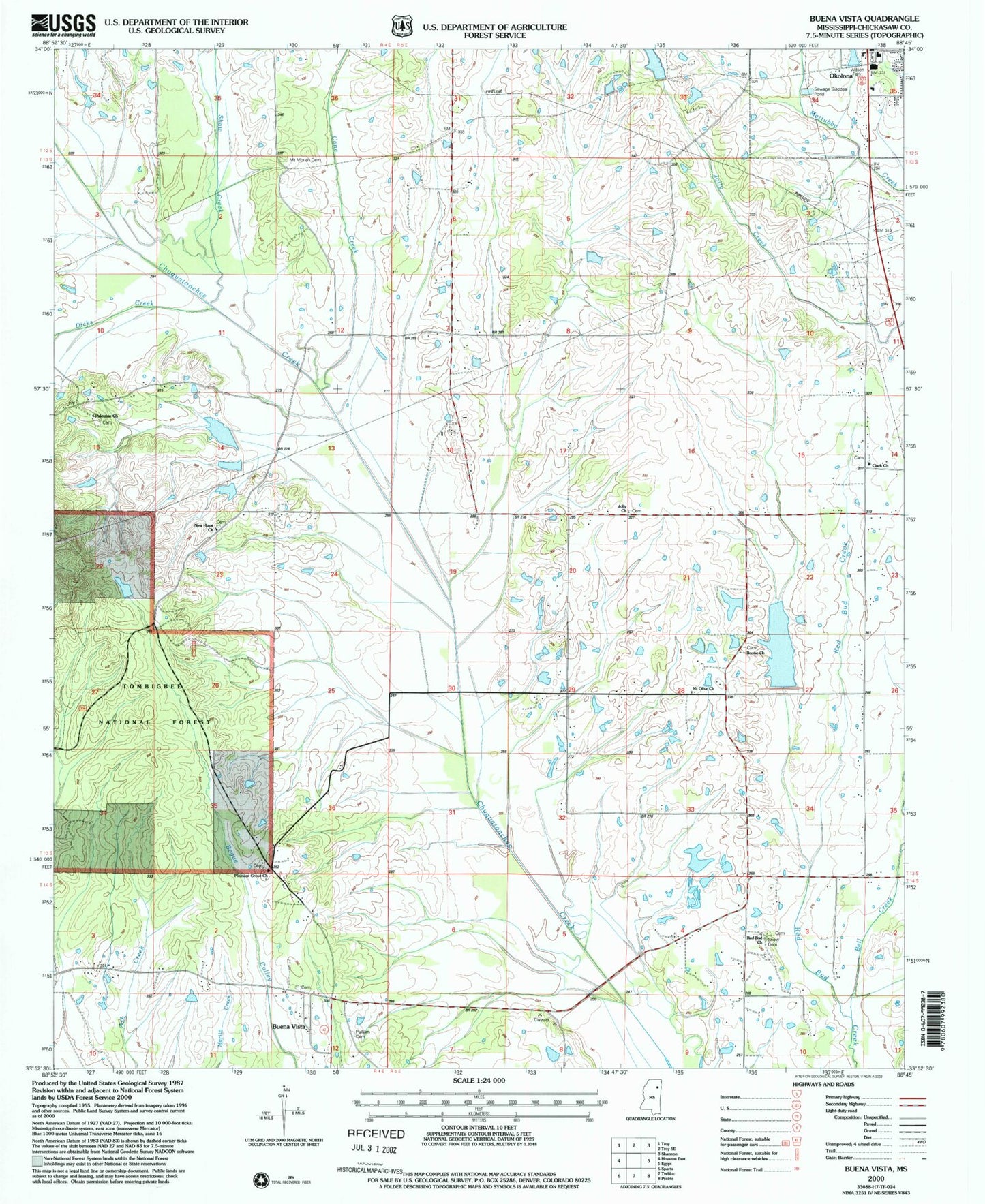
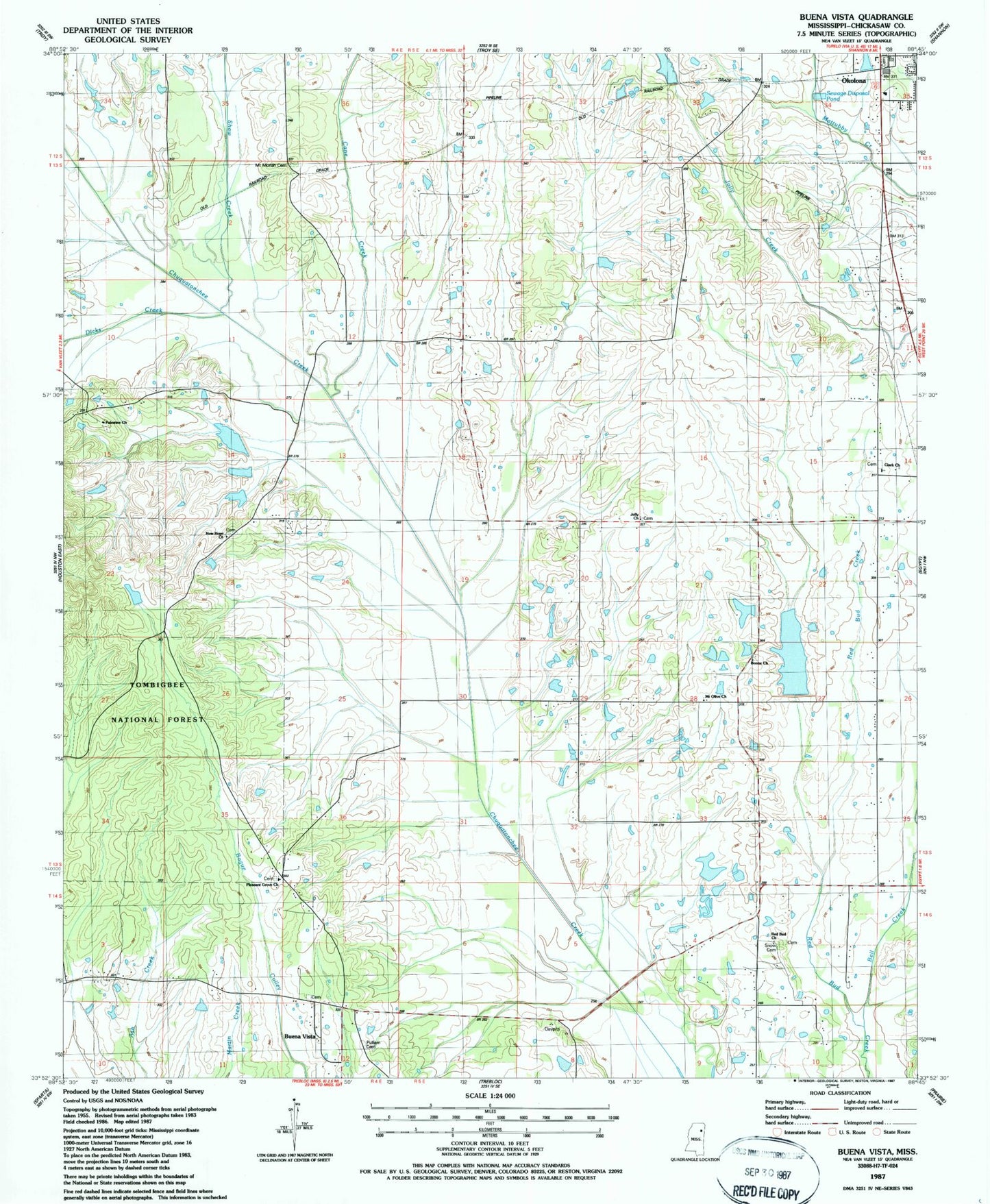
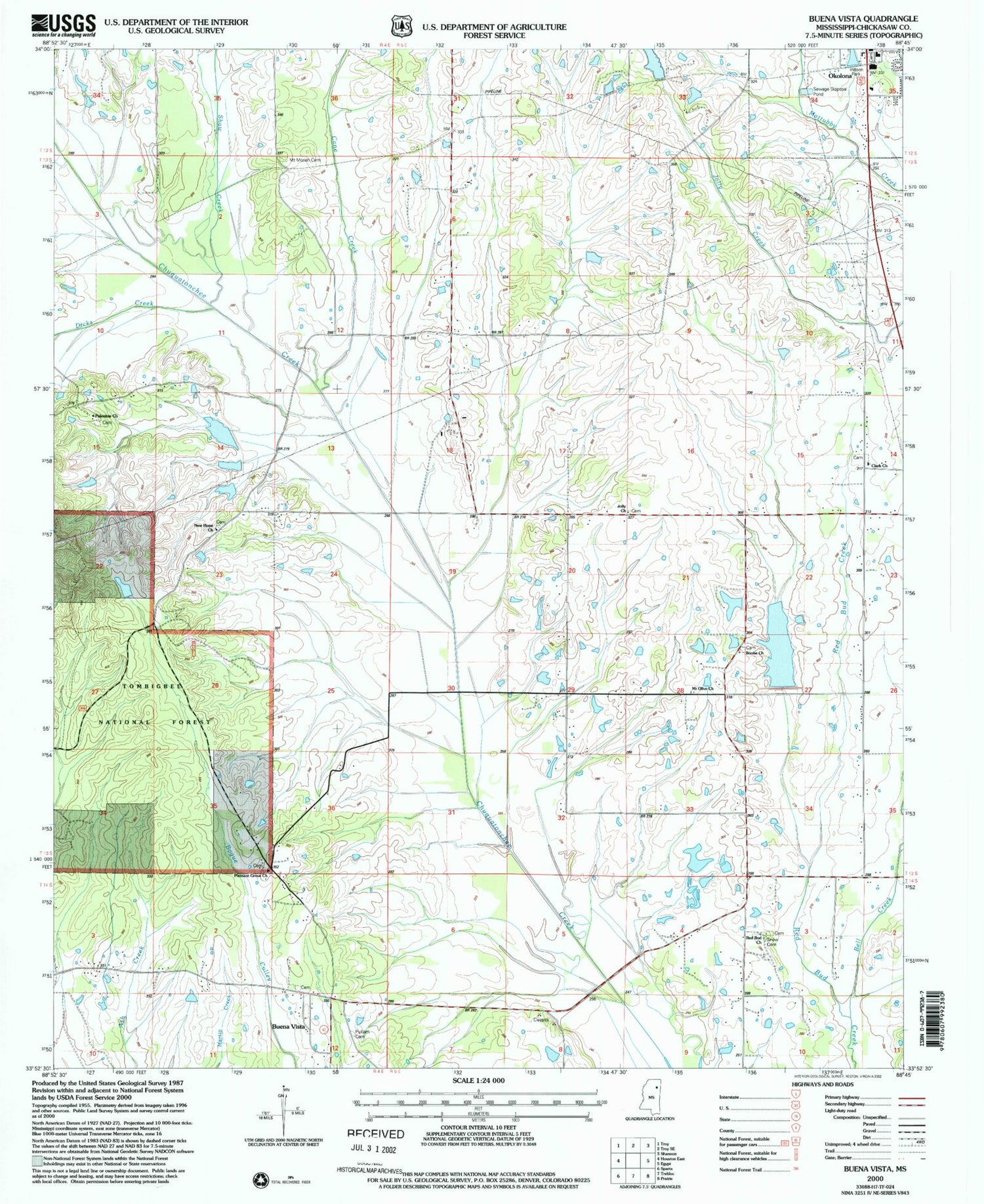
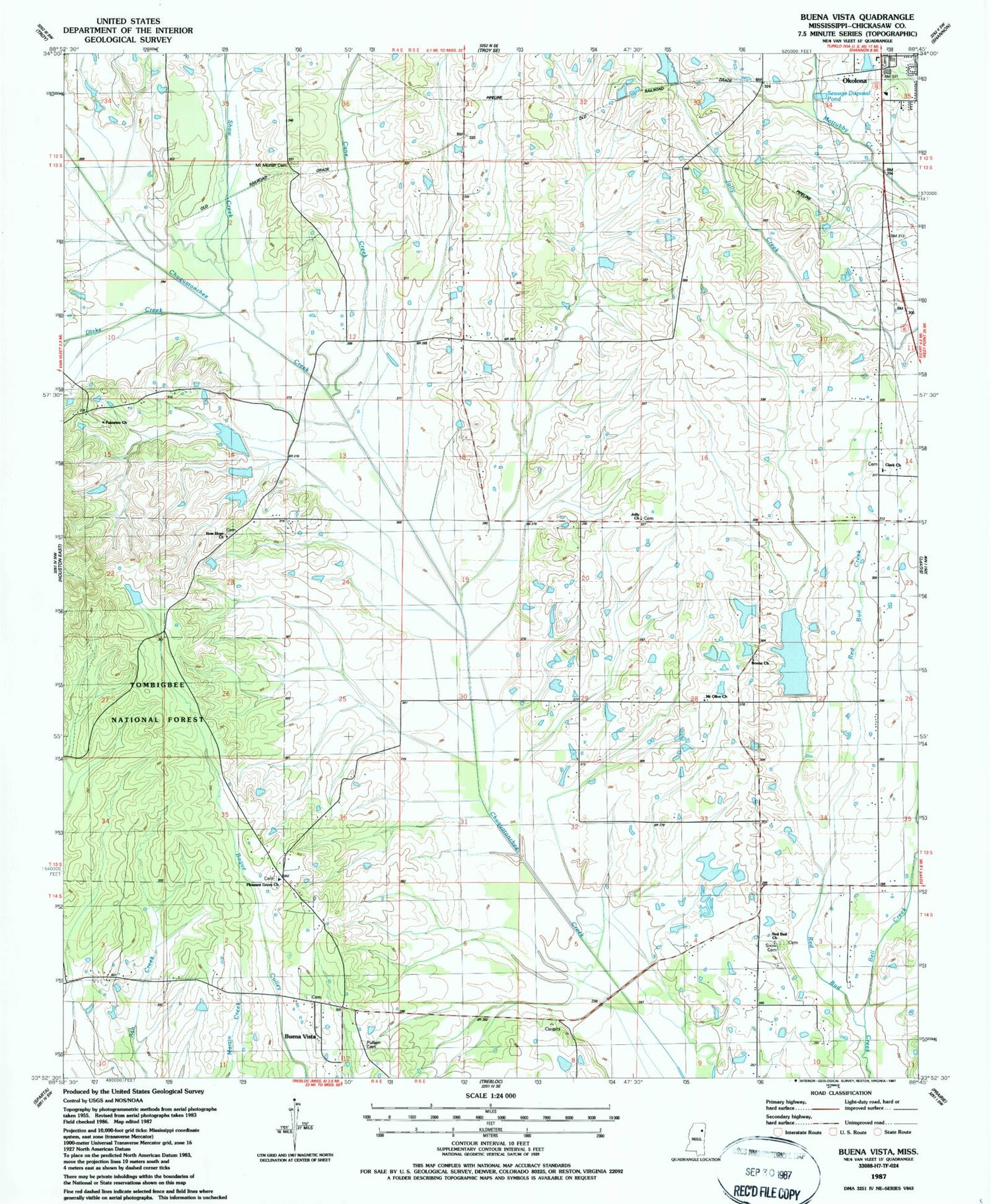
Classic USGS Buena Vista Mississippi 7.5'x7.5' Topo Map
Couldn't load pickup availability
Historical USGS topographic quad map of Buena Vista in the state of Mississippi. Map scale may vary for some years, but is generally around 1:24,000. Print size is approximately 24" x 27"
This quadrangle is in the following counties: Chickasaw.
The map contains contour lines, roads, rivers, towns, and lakes. Printed on high-quality waterproof paper with UV fade-resistant inks, and shipped rolled.
Contains the following named places: Anderson Lake Dam, Bacon, Bell Creek, Boone Church, Buena Vista, Buena Vista Cemetery, Buena Vista High School, Buena Vista Landmark Baptist Church, Buena Vista Presbyterian Church, Buena Vista United Methodist Church, Cane Creek, Chalk Bluff, Chalk Bluff School, Chuquatonchee Creek Structure 13 Dam, Chuquatonchee Creek Structure 17 Dam, Citizens Cemetery, Clark School, Clarks Chapel Baptist Church, Confederate Cemetery, Dicks Creek, Egypt Prairie, Gregory Lake Dam, Holiness Church, Jolly, Jolly Lake Dam, Jollys Chapel Missionary Baptist Church, Jones, Mount Moriah Cemetery, Mount Olive Baptist Church, New Hope Church, Newport, Palestine Missionary Baptist Church, Pikeville, Pleasant Grove Missionary Baptist Church, Pleasant Grove School, Pulliam Cemetery, Redbud Missionary Baptist Church, Redbud School, Schwench Lake Dam, Shaw Creek, Snow Cemetery, Southeast Chickasaw Volunteer Fire Department, Supervisor District 1, Union Baptist Church, Union School, ZIP Code: 38860


