MyTopo
Classic USGS Buffalo Crossing Arizona 7.5'x7.5' Topo Map
Couldn't load pickup availability
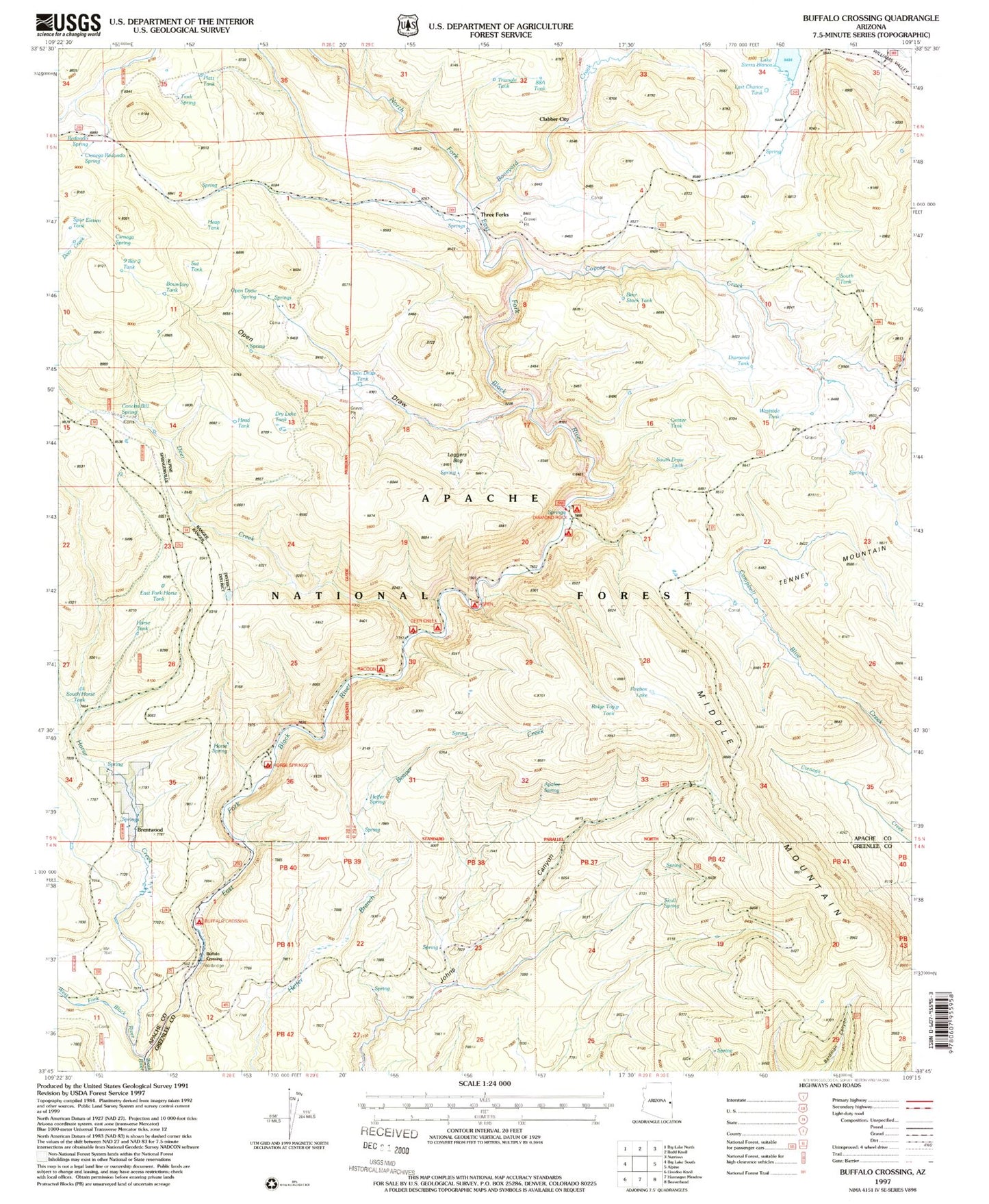
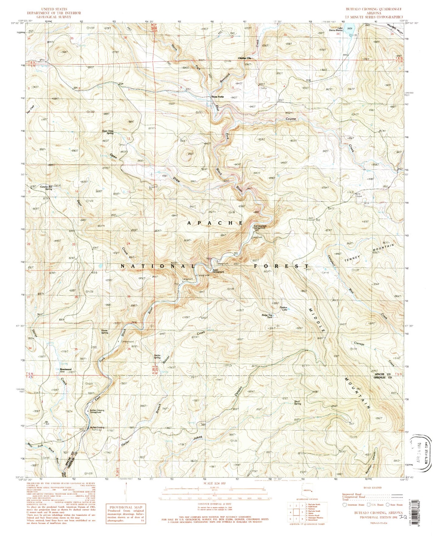
Historical USGS topographic quad map of Buffalo Crossing in the state of Arizona. Typical map scale is 1:24,000, but may vary for certain years, if available. Print size: 24" x 27"
This quadrangle is in the following counties: Apache, Greenlee.
The map contains contour lines, roads, rivers, towns, and lakes. Printed on high-quality waterproof paper with UV fade-resistant inks, and shipped rolled.
Contains the following named places: Ridge Top Tank, Brentwood, Clabber City (historical), Aspen Forest Camp, Beaver Dam Forest Camp, Buffalo Crossing, Buffalo Crossing Camp, Cienega Redondo Camp, Concho Bill Spring, Coyote Creek, Deer Creek, Diamond Rock Forest Camp, East Fork Black River, Firebox Lake, Hall Forest Camp, Horse Creek, Horse Spring, Middle Mountain, Open Draw, Open Draw Spring, P S Knoll Forest Camp, Lake Sierra Blanca, Skull Spring, Three Forks, West Fork Black River, Apalee Spring, Aspen Campground, Diamond Rock Campground, Heifer Spring, Middle Mountain Tank, Johns Canyon Spring, North Fork East Fork Black River, Pond Tank, East Fork Horse Tank, Horse Tank, South Horse Tank, Tank Spring, Cienega Redondo Spring, Spur Eleven Tank, Nine Bar Three Tank, Railroad Tank, Boundary Tank, Coyote Tank, Boneyard Creek, West Side Tank, South Draw Tank, Center Tank, Loggers Bog, Open Draw Tank, Dry Lake, Heap Tank, South Tank, Diamond Tank, Last Chance Tank, 88A Tank, Triangle Tank, Sut Tank, Redondo Spring, Platt Tank, Bear Stock Tank, East Fork Horse Tank, Deer Creek Campground, Horse Spring Campground, Raccoon Campground