MyTopo
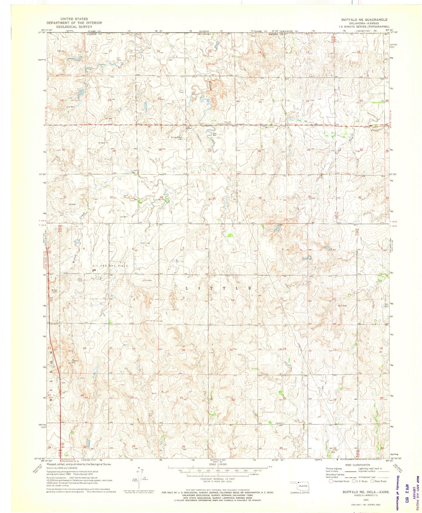
Classic USGS Buffalo NE Oklahoma 7.5'x7.5' Topo Map
Couldn't load pickup availability
Historical USGS topographic quad map of Buffalo NE in the state of Oklahoma. Map scale may vary for some years, but is generally around 1:24,000. Print size is approximately 24" x 27"
This quadrangle is in the following counties: Clark, Comanche, Harper.
The map contains contour lines, roads, rivers, towns, and lakes. Printed on high-quality waterproof paper with UV fade-resistant inks, and shipped rolled.
Contains the following named places: Oknoname 059041 Dam, Oknoname 059041 Reservoir, Oknoname 059042 Dam, Oknoname 059042 Reservoir, Oknoname 059044 Dam, Oknoname 059044 Reservoir, Oknoname 059045 Dam, Oknoname 059045 Reservoir, Oknoname 059049 Dam, Oknoname 059049 Reservoir, Paruna Church, Paruna Community Hall, Township of Little, Willow Creek Cemetery