MyTopo
Classic USGS Buffalo Reservoir Montana 7.5'x7.5' Topo Map
Regular price
$16.95
Regular price
Sale price
$16.95
Unit price
per
Couldn't load pickup availability
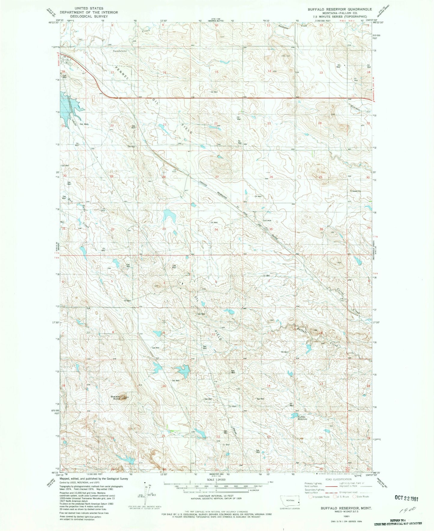
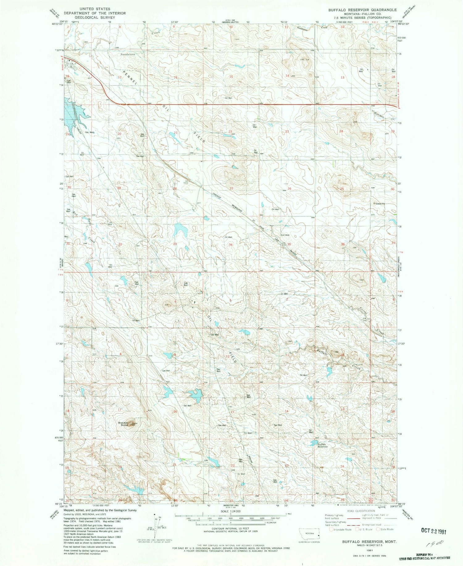
Historical USGS topographic quad map of Buffalo Reservoir in the state of Montana. Map scale may vary for some years, but is generally around 1:24,000. Print size is approximately 24" x 27"
This quadrangle is in the following counties: Fallon.
The map contains contour lines, roads, rivers, towns, and lakes. Printed on high-quality waterproof paper with UV fade-resistant inks, and shipped rolled.
Contains the following named places: 06N60E06AC__01 Well, 06N60E21AC__01 Well, 07N60E31AC__01 Well, 59313, Baker Division, Bracket Butte, Buffalo Reservoir, Kingmont Siding, Kirschten Number 1 Dam, Pinnaw Dam