MyTopo
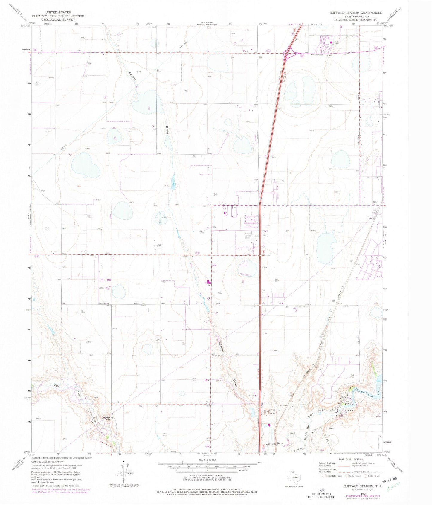
Classic USGS Buffalo Stadium Texas 7.5'x7.5' Topo Map
Couldn't load pickup availability
Historical USGS topographic quad map of Buffalo Stadium in the state of Texas. Map scale may vary for some years, but is generally around 1:24,000. Print size is approximately 24" x 27"
This quadrangle is in the following counties: Randall.
The map contains contour lines, roads, rivers, towns, and lakes. Printed on high-quality waterproof paper with UV fade-resistant inks, and shipped rolled.
Contains the following named places: Amarillo Division, Amarillo Trinity Fellowship School Stadium, Buffalo Airport, Buffalo Stadium, Canyon City Club, Frog Dam, Frog Lake, Gene Howe Elementary School, KPUR-FM (Canyon), Lakeview Elementary School, Lamount Drive Baptist Church, Maples Field, Memory Gardens Cemetery, North Randall Division, Palo Duro Club Lake, Palo Duro Club Lake Dam, Palo Duro Creek, Randall County Fire and Rescue Station 2, Randall High School, Rockwell Place, Rockwell Place Census Designated Place, Spring Draw, Sundown Lane Elementary School, T-Anchor Ranch Cemetery, Tierra Blanca Creek, Valleyview Junior High School