MyTopo
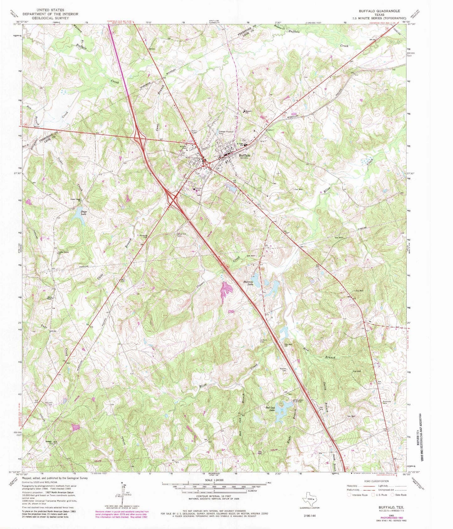
Classic USGS Buffalo Texas 7.5'x7.5' Topo Map
Couldn't load pickup availability
Historical USGS topographic quad map of Buffalo in the state of Texas. Map scale may vary for some years, but is generally around 1:24,000. Print size is approximately 24" x 27"
This quadrangle is in the following counties: Freestone, Leon.
The map contains contour lines, roads, rivers, towns, and lakes. Printed on high-quality waterproof paper with UV fade-resistant inks, and shipped rolled.
Contains the following named places: Alligator Creek, Bennett School, Bow Branch, Browns Creek, Buffalo, Buffalo City Hall, Buffalo Division, Buffalo Police Department, Buffalo Post Office, Buffalo Volunteer Fire Department, Cain Lake, Cain Lake Dam, Cane Branch, Cedar Creek, Cedar Creek Church, Cedar Grove Church, City of Buffalo, Copper Creek, Davis Chapel, Days Lake, Graham Cemetery, Harcrow Dam Number 1, Harcrow Lake, Harcrow Lake Number 2, Harcrow Lake Number 2 Dam, Haw Branch, Heil Lake, Heil Lake Dam, Nettles Cemetery, Raines Dam, Red Oak Branch, Red Oak Lake, Rena Branch, Right Branch, Russell Church, Sand Hill Cemetery, Smith Branch, Whitaker Dam, Whitney Branch, ZIP Code: 75831