MyTopo
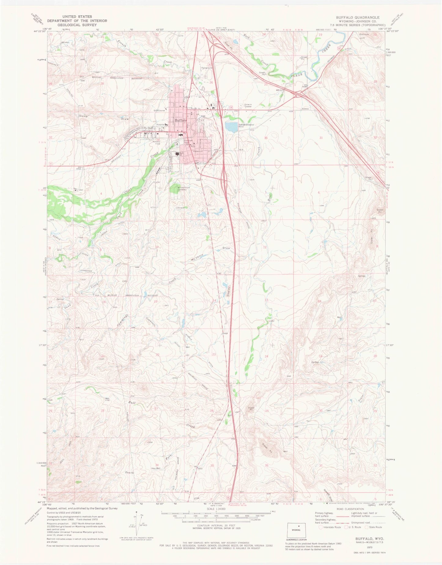
Classic USGS Buffalo Wyoming 7.5'x7.5' Topo Map
Couldn't load pickup availability
Historical USGS topographic quad map of Buffalo in the state of Wyoming. Typical map scale is 1:24,000, but may vary for certain years, if available. Print size: 24" x 27"
This quadrangle is in the following counties: Johnson.
The map contains contour lines, roads, rivers, towns, and lakes. Printed on high-quality waterproof paper with UV fade-resistant inks, and shipped rolled.
Contains the following named places: Buffalo, Crown Ditch, Cummings Creek, Cummings Ditch, Dump Draw, McVenry Draw, Prosinski Park, Sixmile Ditch, South Fork Bull Creek, Willow Grove Cemetery, Bull Creek, French Creek, Rock Creek, Sand Creek, KBBS-AM (Buffalo), KLGT-FM (Buffalo), Buffalo Sand and Gravel Pit, Carter Pit Mine, Buffalo Mine, Clear Creek Mine, Mitchell Mine, Munkry Mine, Munkry Mine, Cross H Mesa Pit C, Cross H Mesa D Pit, Cross H Pit Number Two, Hepp Pit Mine, Keith Pit Number One, Pelloux Pit, Shambaugh Number Two Mine, Smith Pit Number One, Soldiers and Sailors Pit Number Three, State Pit, Arno Pit, Veterans Home of Wyoming, Johnson County Healthcare Center, Amie Holt Care Center, Buffalo High School, Clear Creek Middle School, Billy Creek School, Clear Creek School, City of Buffalo, Buffalo Volunteer Fire Department, Johnson County Search and Rescue, Bighorn National Forest Powder River Ranger District Fire Engine Crew, Johnson County Fire Control District 1, Buffalo - Johnson County Emergency Medical Services, Buffalo Police Department, Buffalo Post Office, Fort McKinney Post Cemetery, Saint Luke's Columbarium


