MyTopo
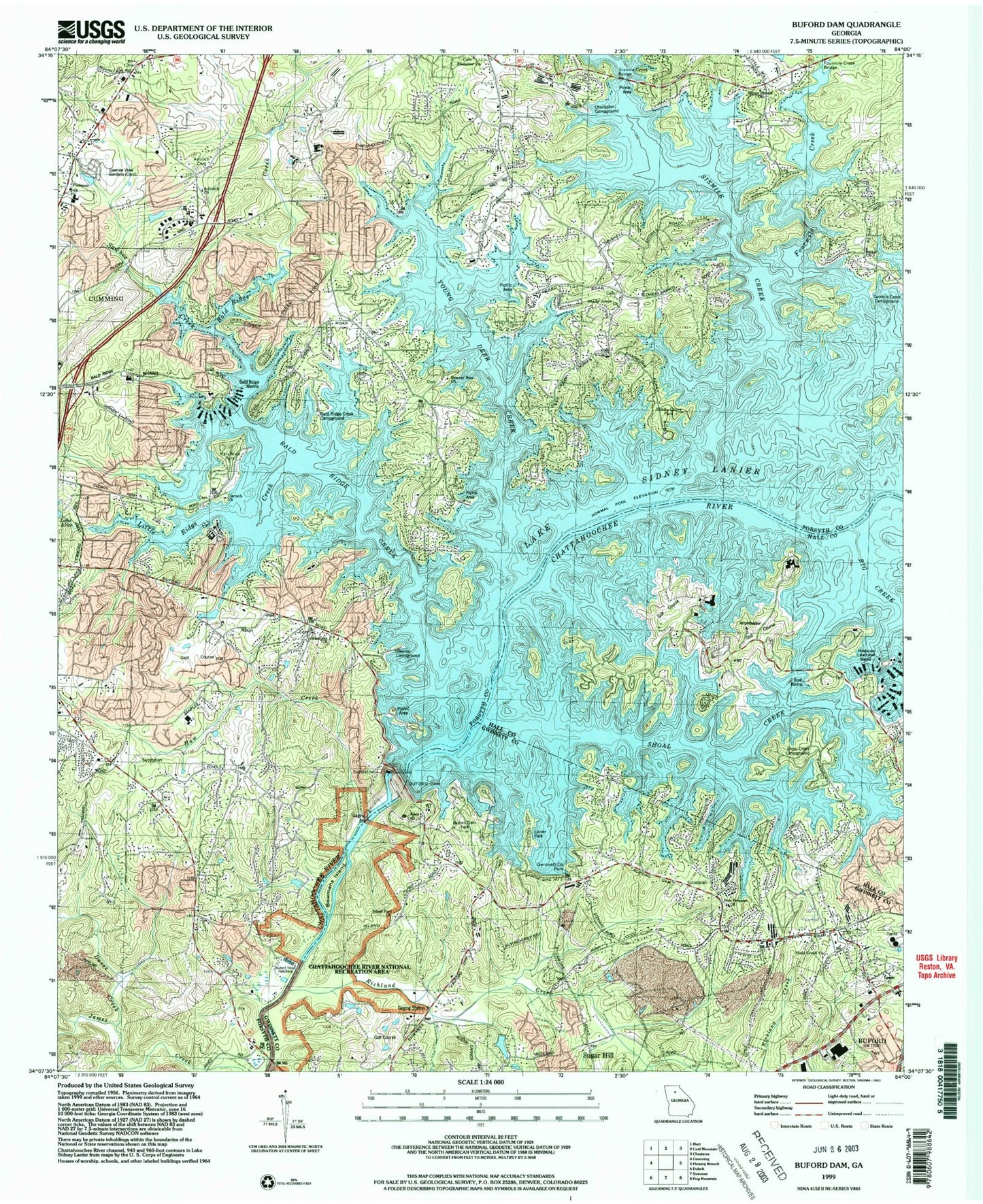
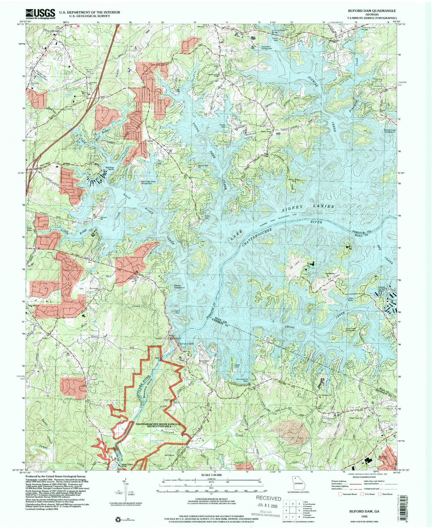
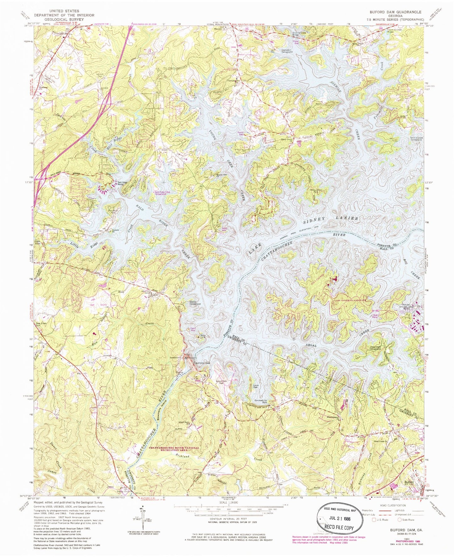
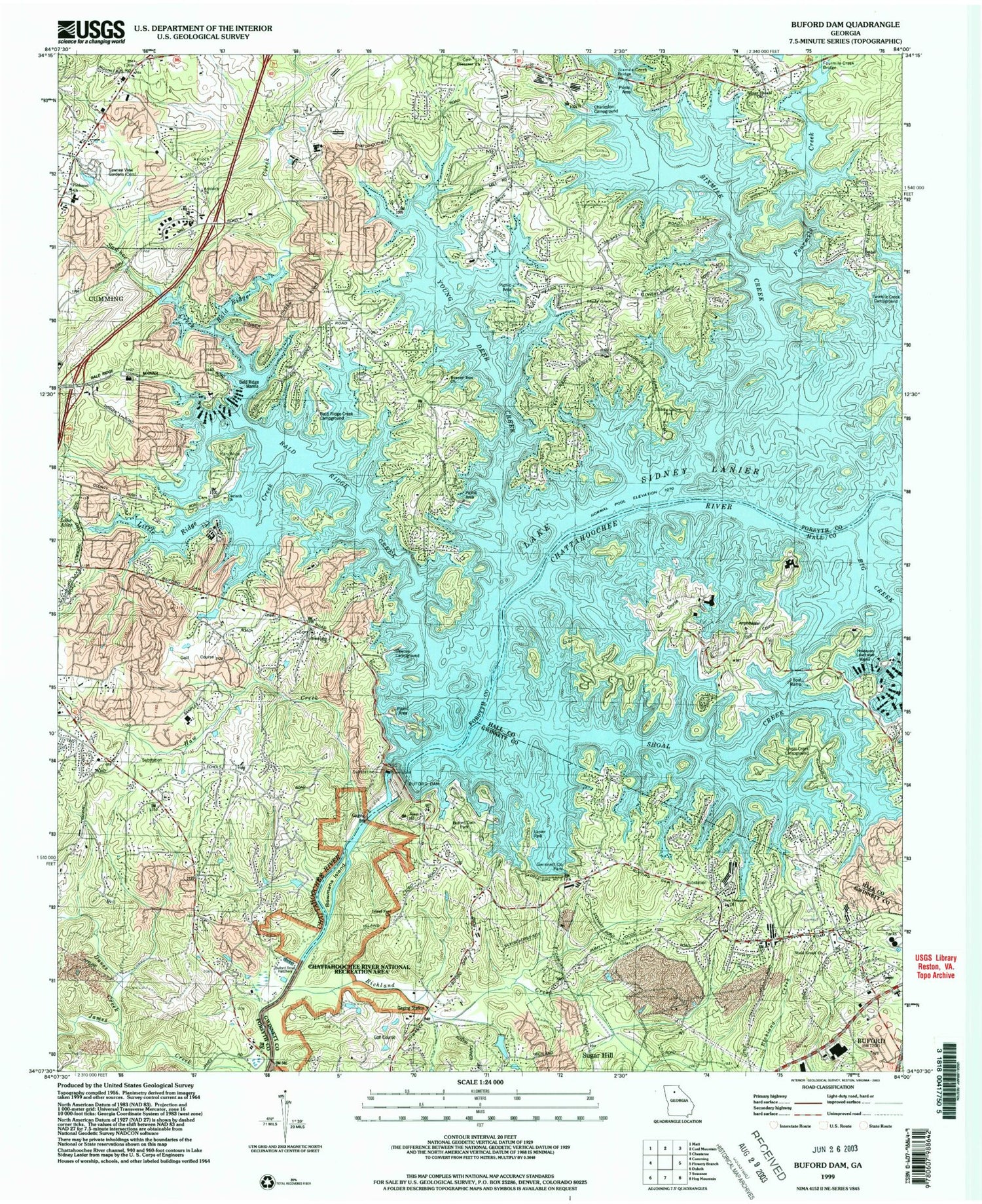
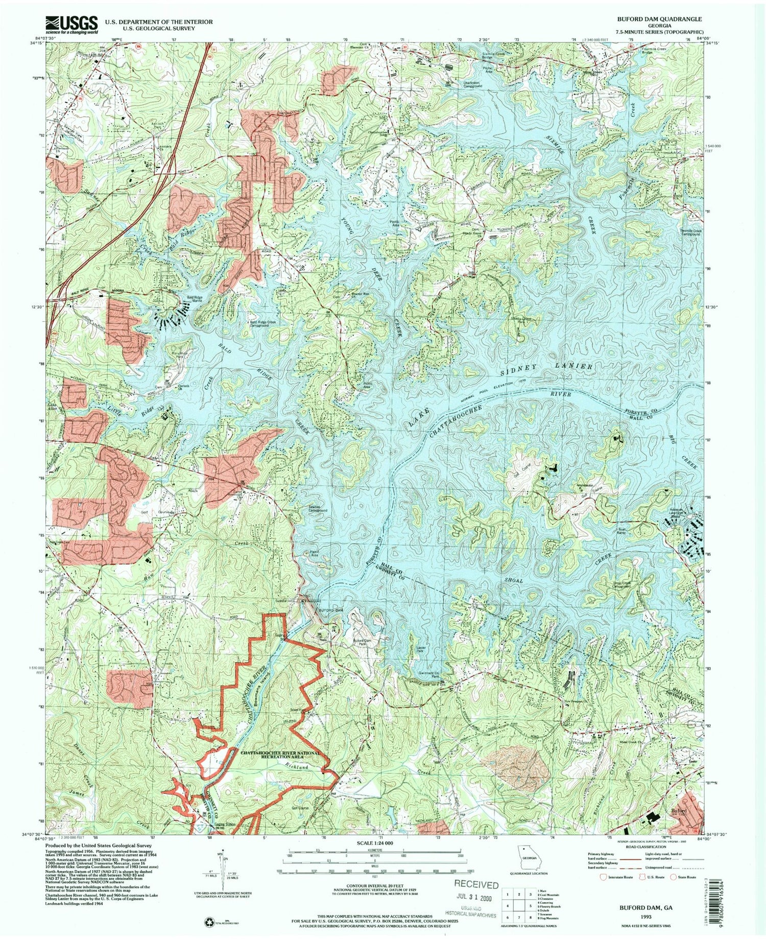
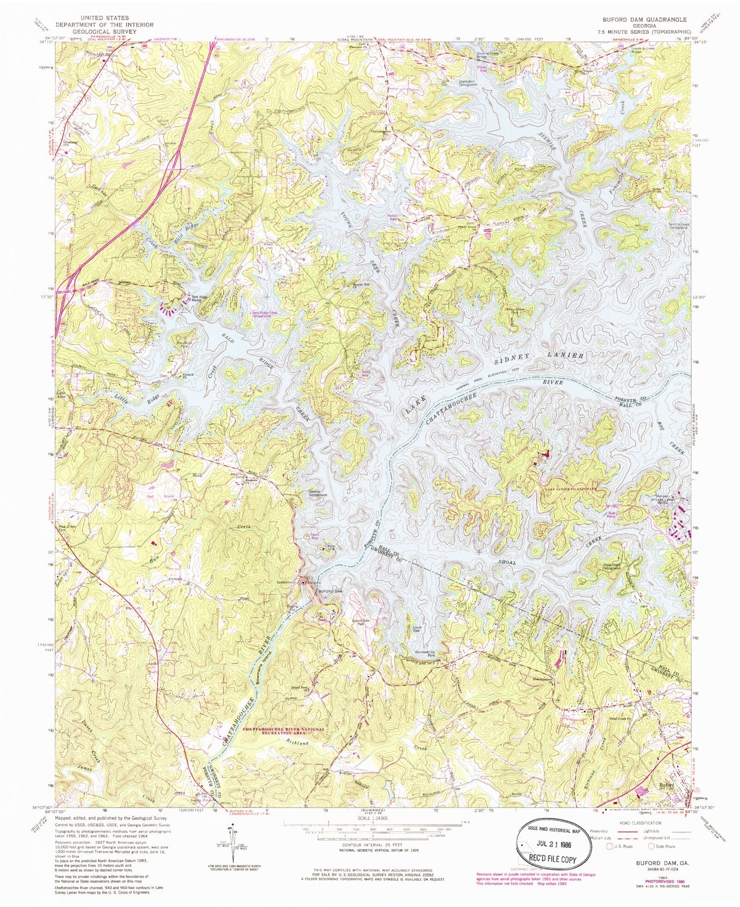
Classic USGS Buford Dam Georgia 7.5'x7.5' Topo Map
Couldn't load pickup availability
Historical USGS topographic quad map of Buford Dam in the state of Georgia. Typical map scale is 1:24,000, but may vary for certain years, if available. Print size: 24" x 27"
This quadrangle is in the following counties: Forsyth, Gwinnett, Hall.
The map contains contour lines, roads, rivers, towns, and lakes. Printed on high-quality waterproof paper with UV fade-resistant inks, and shipped rolled.
Contains the following named places: Antioch Cemetery, Bethel Church, Bowmans Island, Buford Dam, Buford Park, Charleston Access Point, Chattahoochee Elementary School, Daves Creek, Gwinnett County Park, Haw Creek, Island Ford Church, Little Ridge Creek, Little Shoal Creek Public Use Area, Mary Alice Park, New Prospect Church, Piedmont Church, Richland Creek, Roanoke Church, Sawnee Creek, Sawnee Campground, Sawnee View Memorial Gardens, Shady Grove Church, Shady Grove Park, Shoal Creek, Shoal Creek Church, Lake Sidney Lanier, Silver Shoals Church, Sixmile Creek, Sixmile Creek Bridge, Tri-County Park, Twomile Creek Access Point, West Bank Public Use Area, Young Deer Creek, Young Deer Creek Access Point, Lanier Middle School, Mashburn Mill Dam, Baldridge Marina, Holiday-on-Lake Lanier Marina, McDonald Heliport, Ebeneezer Airport, Stouffer Pine Isle Resort Heliport, Antioch Church, Baldridge Creek, Beaver Run Church, Corinth Church, Ebenezer Church, Fourmile Creek, Fourmile Creek Bridge, Bald Ridge Chapel, Bald Ridge Creek Campground, Bald Ridge Creek Public Use Area, Beaver Run Baptist Cemetery, Bethel Cemetery, Buford State Trout Hatchery, Corinth School (historical), Deer Creek Shores Presbyterian Church, Lanier Four Hundred Industrial Park, Lanier Golf Club, Marcus Elementary School, Mashburn Senior High School, Mount Zion Access Point, Orrs Ferry (historical), Shadburn Ferry Access Point, Six Mile Creek Access Point, Tidwell Access Point, West Bank Overlook, Lake Lanier Islands Park, Shadburn Ferry (historical), Shoal Creek Camping Area, Shoal Creek Church (historical), Country Chapel, Lake Forest, Lake Lanier Vista, Northwest Harbor, Bowmans Island Shoals, Forsyth County School Adminstration Building, Forsyth County Station 11 Fire Station, Forsyth County Fire Department Station 15, Forsyth County Fire Department Station 5, Lanier Museum of Natural History, Lanier United Methodist Church, Mashburn Elementary School, Piedmont Learning Center, Central Park, White Oak Elementary School, Sycamore Elementary School, Haw Creek Elementary School, Lakeside Middle School, Little Mill Middle School, Cornerstone School, Gwinnett County Fire and Emergency Services Station 26, Forsyth County Sheriff Office - Records / Internal Affairs, Antioch Cemetery, Bethel Church, Bowmans Island, Buford Dam, Buford Park, Charleston Access Point, Chattahoochee Elementary School, Daves Creek, Gwinnett County Park, Haw Creek, Island Ford Church, Little Ridge Creek, Little Shoal Creek Public Use Area, Mary Alice Park, New Prospect Church, Piedmont Church, Richland Creek, Roanoke Church, Sawnee Creek, Sawnee Campground, Sawnee View Memorial Gardens, Shady Grove Church, Shady Grove Park, Shoal Creek, Shoal Creek Church, Lake Sidney Lanier, Silver Shoals Church, Sixmile Creek, Sixmile Creek Bridge, Tri-County Park, Twomile Creek Access Point, West Bank Public Use Area, Young Deer Creek, Young Deer Creek Access Point, Lanier Middle School, Mashburn Mill Dam, Baldridge Marina, Holiday-on-Lake Lanier Marina, McDonald Heliport, Ebeneezer Airport, Stouffer Pine Isle Resort Heliport, Antioch Church, Baldridge Creek, Beaver Run Church, Corinth Church, Ebenezer Church, Fourmile Creek, Fourmile Creek Bridge, Bald Ridge Chapel, Bald Ridge Creek Campground, Bald Ridge Creek Public Use Area, Beaver Run Baptist Cemetery, Bethel Cemetery, Buford State Trout Hatchery, Corinth School (historical), Deer Creek Shores Presbyterian Church, Lanier Four Hundred Industrial Park, Lanier Golf Club, Marcus Elementary School, Mashburn Senior High School, Mount Zion Access Point, Orrs Ferry (historical), Shadburn Ferry Access Point, Six Mile Creek Access Point, Tidwell Access Point, West Bank Overlook, Lake Lanier Islands Park, Shadburn Ferry (historical), Shoal Creek Camping Area, Shoal Creek Church (historical), Country Chapel, Lake Forest, Lake Lanier Vista, Northwest Harbor, Bowmans Island Shoals, Forsyth County School Adminstration Building, Forsyth County Station 11 Fire Station, Forsyth County Fire Department Station 15, Forsyth County Fire Department Station 5, Lanier Museum of Natural History, Lanier United Methodist Church, Mashburn Elementary School, Piedmont Learning Center, Central Park, White Oak Elementary School, Sycamore Elementary School, Haw Creek Elementary School, Lakeside Middle School, Little Mill Middle School, Cornerstone School, Gwinnett County Fire and Emergency Services Station 26, Forsyth County Sheriff Office - Records / Internal Affairs
