MyTopo
Classic USGS Buhler Louisiana 7.5'x7.5' Topo Map
Couldn't load pickup availability
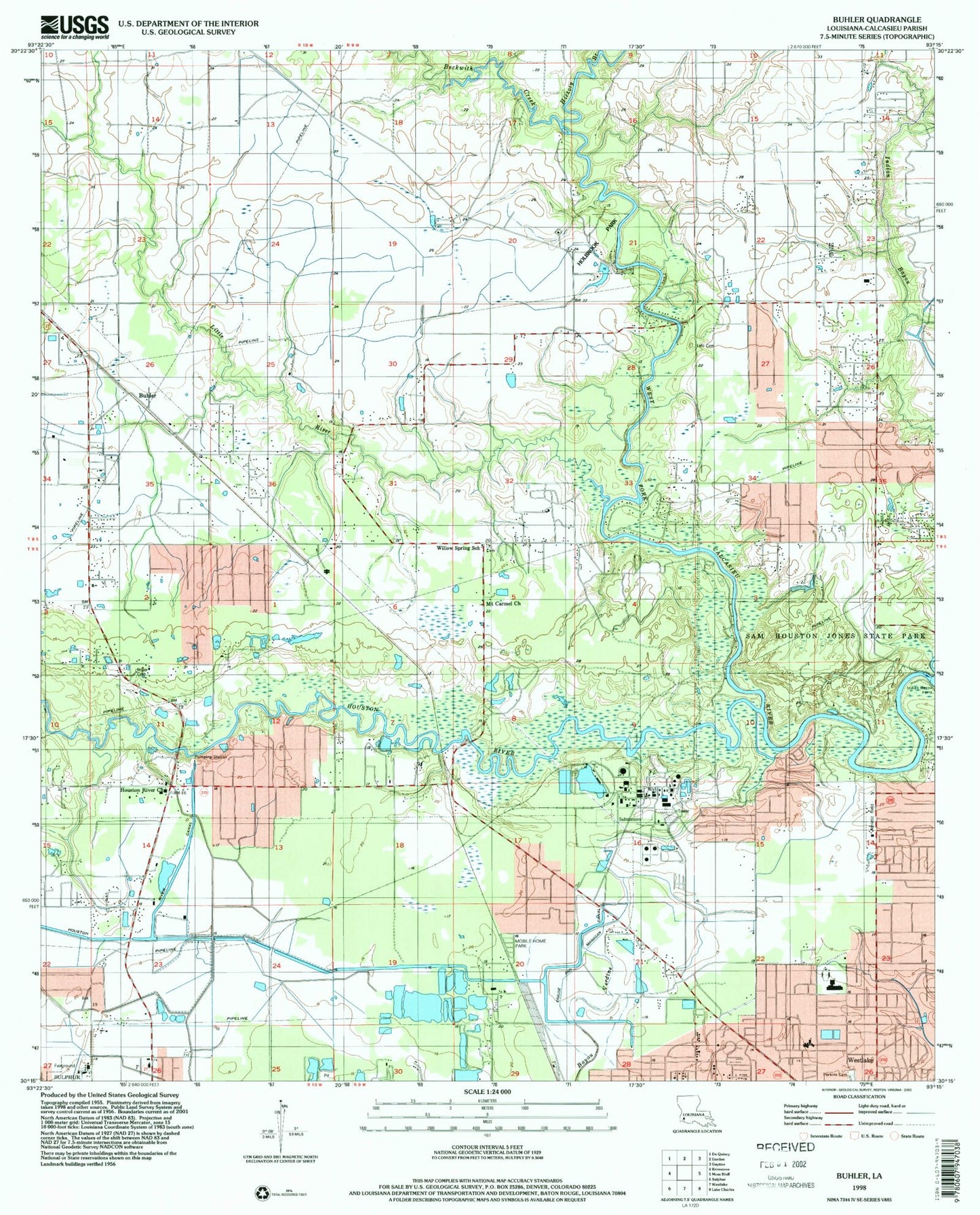
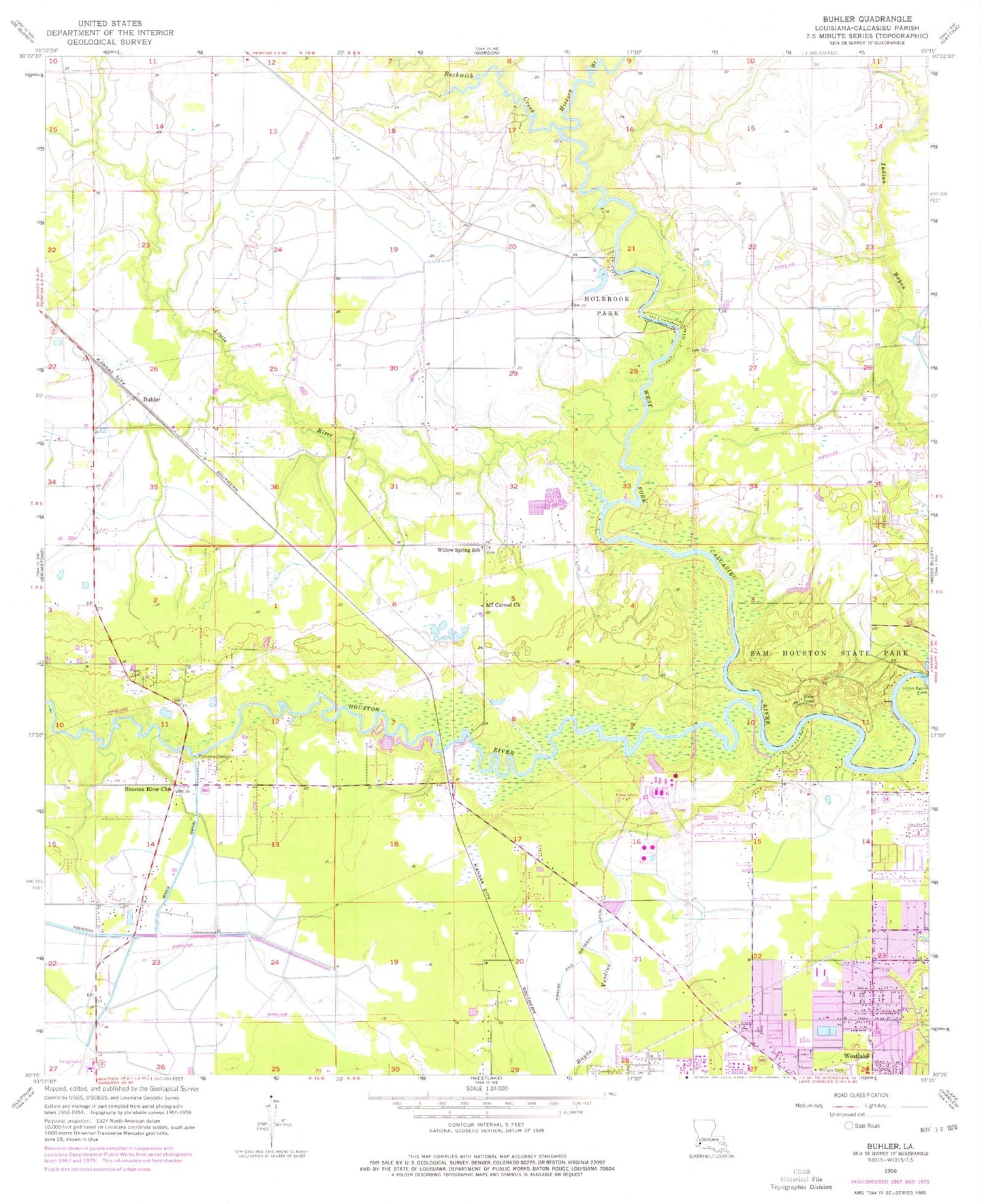
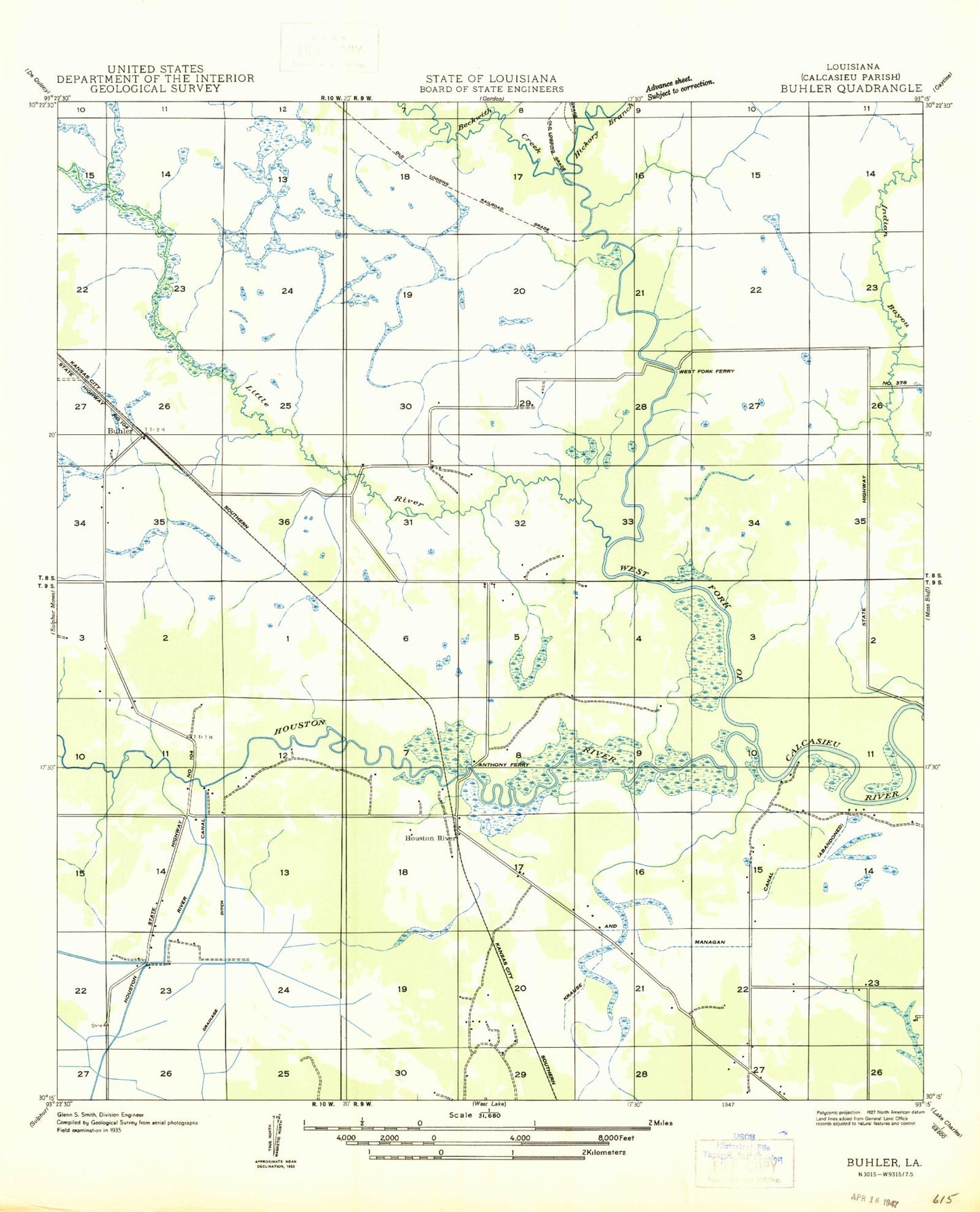
Historical USGS topographic quad map of Buhler in the state of Louisiana. Map scale may vary for some years, but is generally around 1:24,000. Print size is approximately 24" x 27"
This quadrangle is in the following counties: Calcasieu.
The map contains contour lines, roads, rivers, towns, and lakes. Printed on high-quality waterproof paper with UV fade-resistant inks, and shipped rolled.
Contains the following named places: Beckwith Creek, Beckwith Oil and Gas Field, Bellview Baptist Church, Bethel Baptist Church, Buhler, Buhler Pumping Station, Cal-Cam Fairgrounds, Calcasieu Fire Department, Church of the Nazarene, City of Westlake, Dove Creek Mobile Home Park, Hickory Branch, High Hope Care Center, Holbrook Park, Holbrook Park Lake Dam, Houston River, Houston River Church, Indian Bayou, Indian Bayou Ferry, KLCL-AM (Lake Charles), KML Airport, Krause and Managan Canal, Lake View Dam, Little Indian Bayou, Little River, Mount Carmel Church, Parish Governing Authority District 14, Pecanderosa Park, Pentecostal Church of Westlake, Perkins Cemetery, Pilgrim Nazarene Church, Reynolds Airport, Royer Cemetery, Saint John Bosco Catholic Church, Sam Houston State Park, Ward 1 Fire District Sutherland Station, Western Heights Elementary School, Westlake Branch Library, Westlake High School, Westlake Police Department, Westlake Post Office, Westlake Volunteer Fire Department, Westside Baptist Church, Westwood Baptist Church, Westwood Elementary School, Willow Spring School, Willow Springs Baptist Church, ZIP Code: 70663