MyTopo
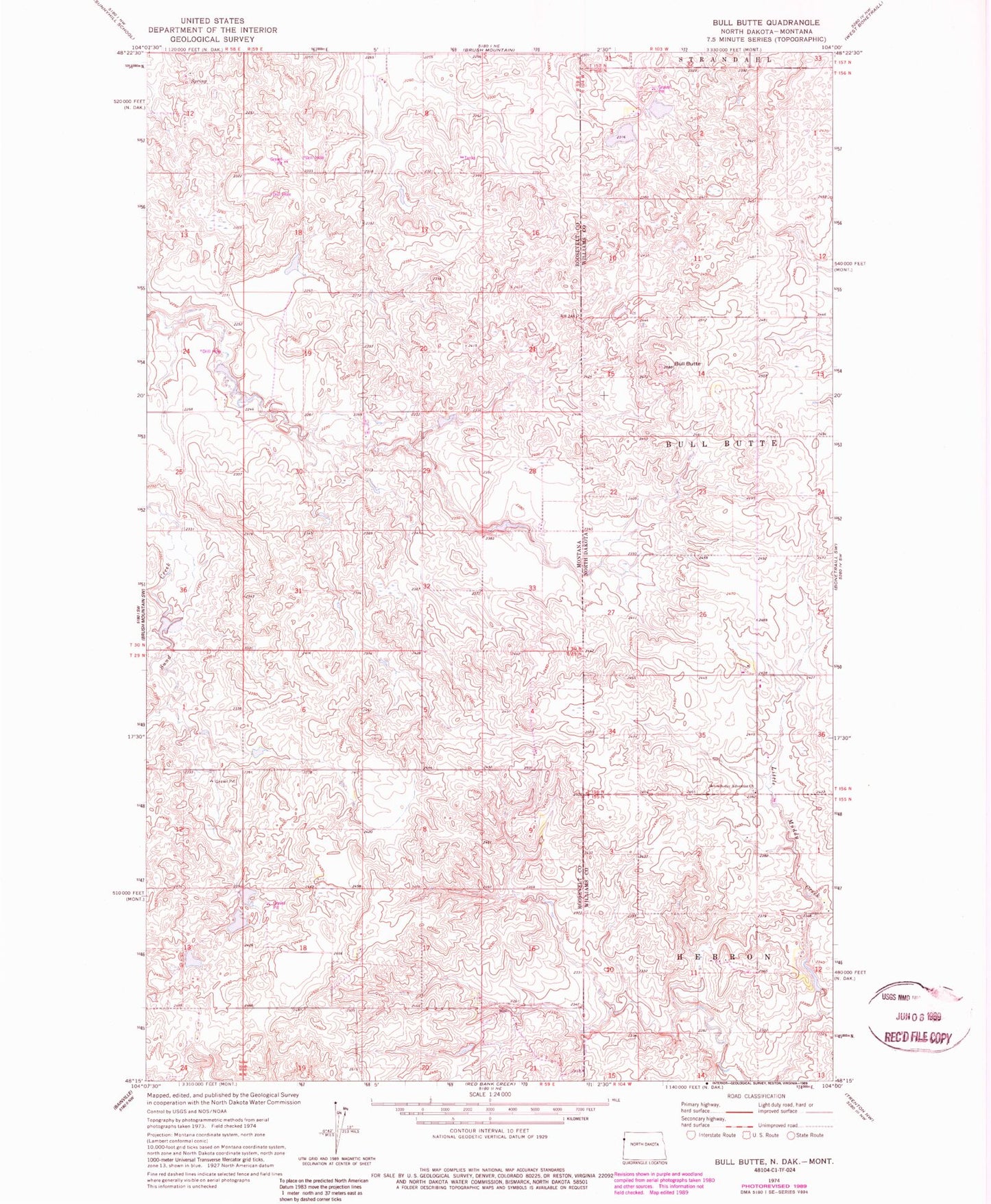
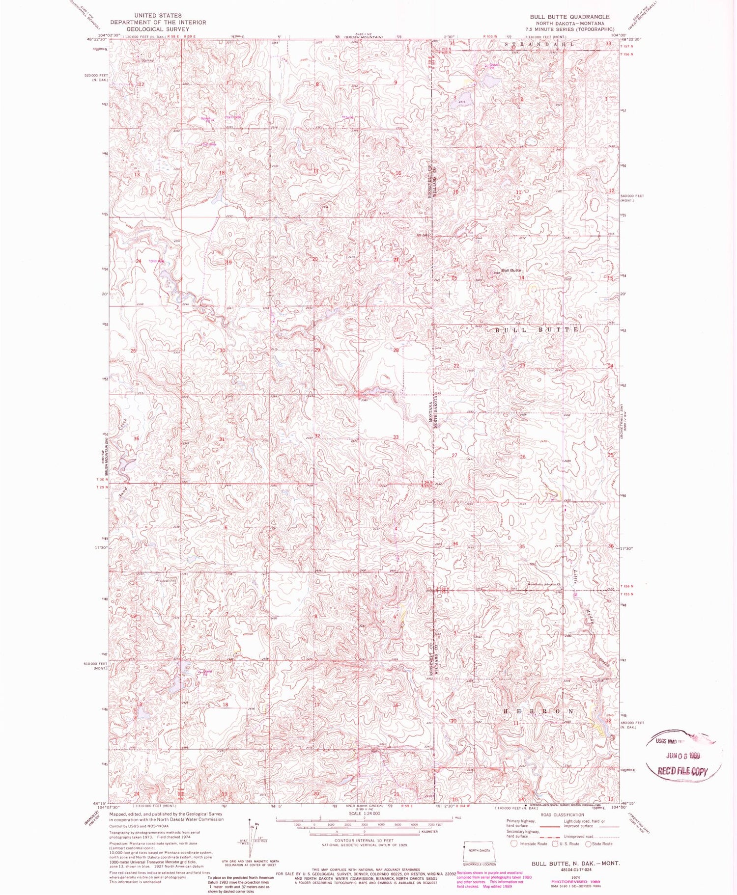
Classic USGS Bull Butte North Dakota 7.5'x7.5' Topo Map
Regular price
$16.95
Regular price
Sale price
$16.95
Unit price
per
Couldn't load pickup availability
Historical USGS topographic quad map of Bull Butte in the states of North Dakota, Montana. Map scale may vary for some years, but is generally around 1:24,000. Print size is approximately 24" x 27"
This quadrangle is in the following counties: Roosevelt, Williams.
The map contains contour lines, roads, rivers, towns, and lakes. Printed on high-quality waterproof paper with UV fade-resistant inks, and shipped rolled.
Contains the following named places: 29N59E09BDDB01 Well, Andy Capp Dam, Band Aid Dam, Bull Butte, Crusch School, Dwyer Post Office, Horab Dam, Johnson School, Lamar School, Picard Reservoir, Picard Reservoir Dam, Seventh Day Adventist Church