MyTopo
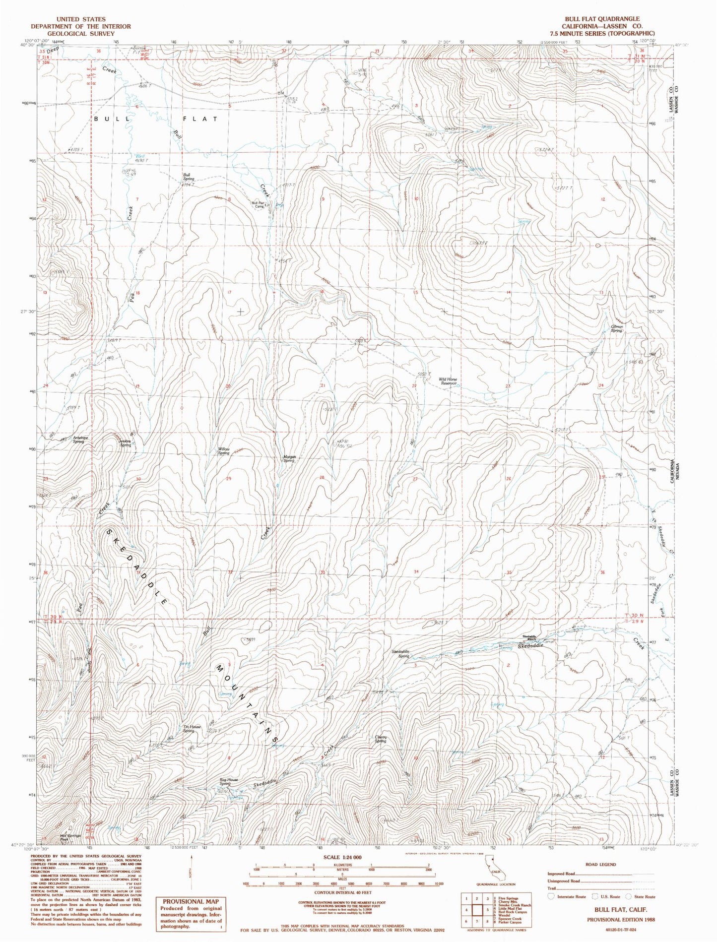
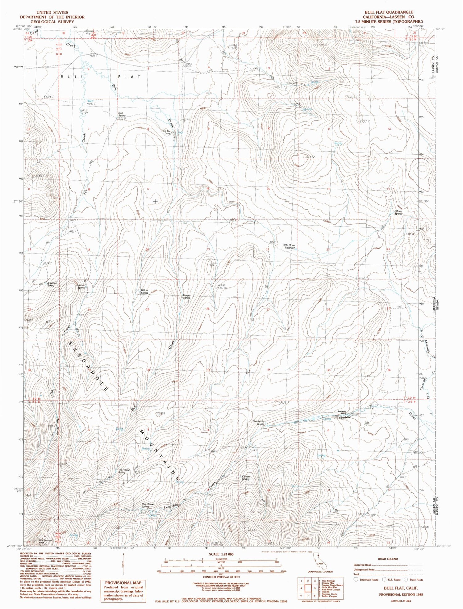
Classic USGS Bull Flat California 7.5'x7.5' Topo Map
Couldn't load pickup availability
Historical USGS topographic quad map of Bull Flat in the state of California. Map scale may vary for some years, but is generally around 1:24,000. Print size is approximately 24" x 27"
This quadrangle is in the following counties: Lassen.
The map contains contour lines, roads, rivers, towns, and lakes. Printed on high-quality waterproof paper with UV fade-resistant inks, and shipped rolled.
Contains the following named places: Antelope Spring, Bull Creek, Bull Flat, Bull Flat Camp, Bull Spring, Cherry Spring, Gilman Spring, Hot Springs Peak, Jenkins Spring, Morgan Spring, Pea Creek, Rag House Spring, Skedaddle Mountains, Skedaddle Ranch, Skedaddle Spring, Tin House Spring, Wild Horse Reservoir, Willow Spring