MyTopo
Classic USGS Bull Lake West Wyoming 7.5'x7.5' Topo Map
Regular price
$16.95
Regular price
Sale price
$16.95
Unit price
per
Couldn't load pickup availability
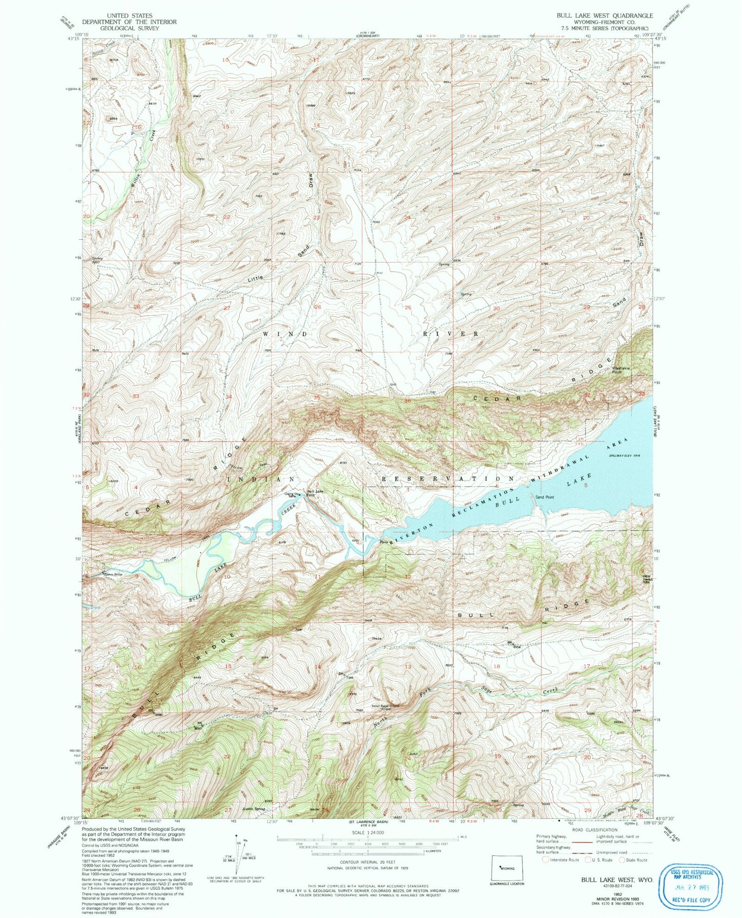
Historical USGS topographic quad map of Bull Lake West in the state of Wyoming. Map scale may vary for some years, but is generally around 1:24,000. Print size is approximately 24" x 27"
This quadrangle is in the following counties: Fremont.
The map contains contour lines, roads, rivers, towns, and lakes. Printed on high-quality waterproof paper with UV fade-resistant inks, and shipped rolled.
Contains the following named places: Austin Spring, Bull Lake Falls, Bull Ridge Mine, Ocean Lake Habitat Number 5 Dam, Ocean Lake Habitat Reservoir Number 5, Sand Point, Sheep Bridge, Washakie Point, Yellow Trail