
MyTopo
Classic USGS Bull Mountain NW Montana 7.5'x7.5' Topo Map
Regular price
$16.95
Regular price
Sale price
$16.95
Unit price
per
Couldn't load pickup availability
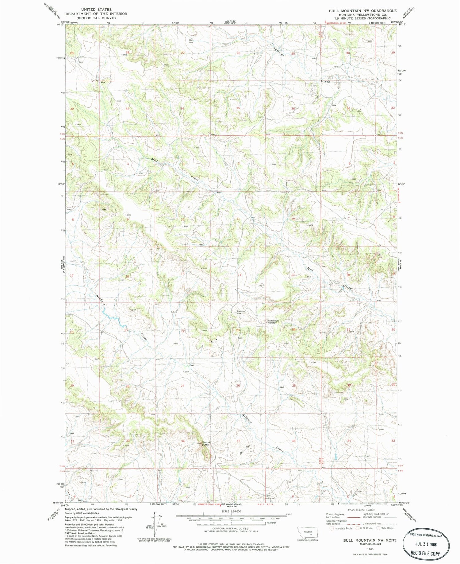
Historical USGS topographic quad map of Bull Mountain NW in the state of Montana. Map scale may vary for some years, but is generally around 1:24,000. Print size is approximately 24" x 27"
This quadrangle is in the following counties: Yellowstone.
The map contains contour lines, roads, rivers, towns, and lakes. Printed on high-quality waterproof paper with UV fade-resistant inks, and shipped rolled.
Contains the following named places: 05N30E04DADB01 Well, 05N30E08ABAC01 Well, 05N30E10DDDC01 Well, 05N30E28DACC01 Well, 05N30E32BDAD01 Well, 05N30E35AD__01 Well, 06N30E29D___01 Well, Castle Butte, Castle Butte Cemetery, Northeast Yellowstone Division


