
MyTopo
Classic USGS Bull Mountain Utah 7.5'x7.5' Topo Map
Regular price
$16.95
Regular price
Sale price
$16.95
Unit price
per
Couldn't load pickup availability
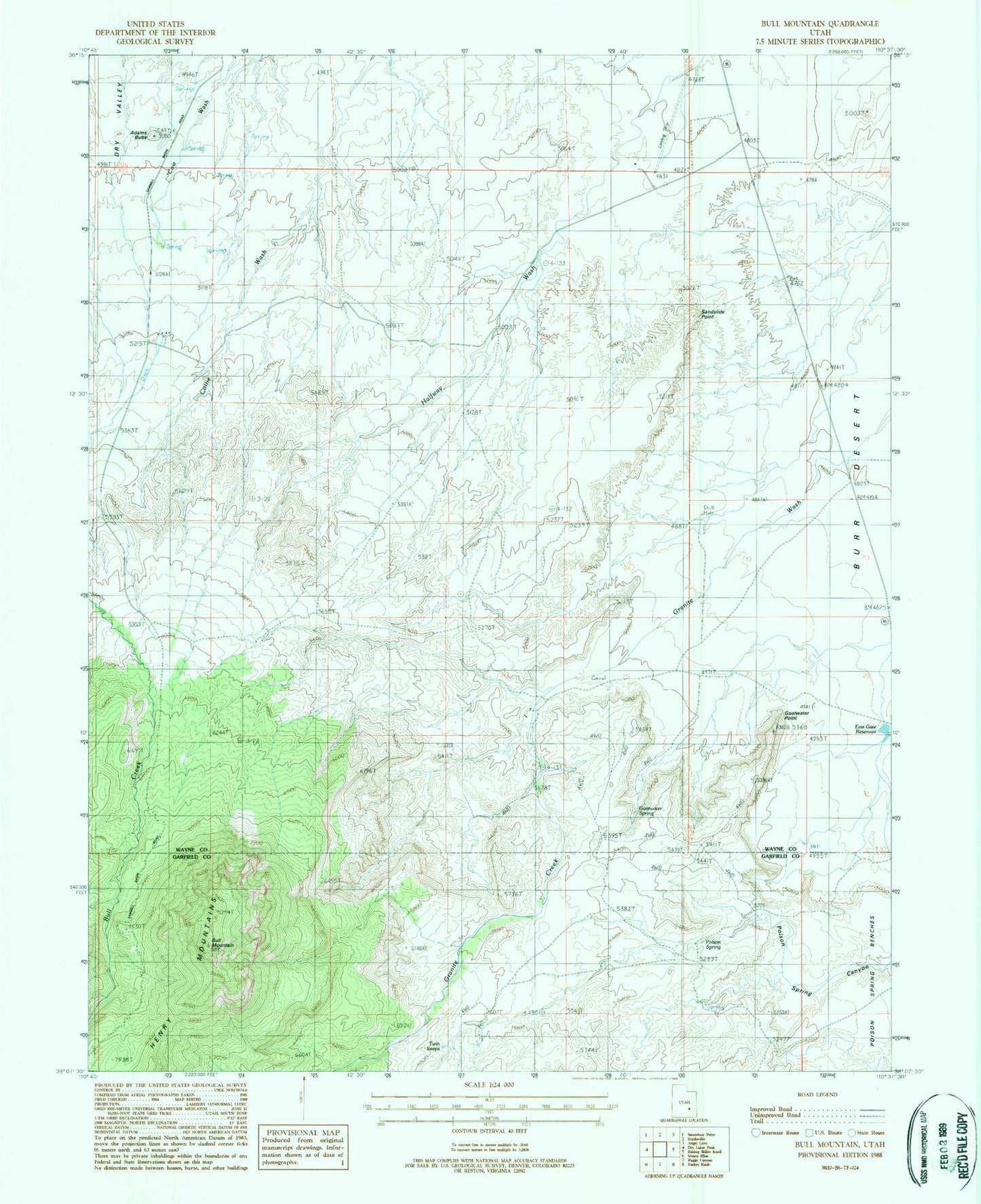
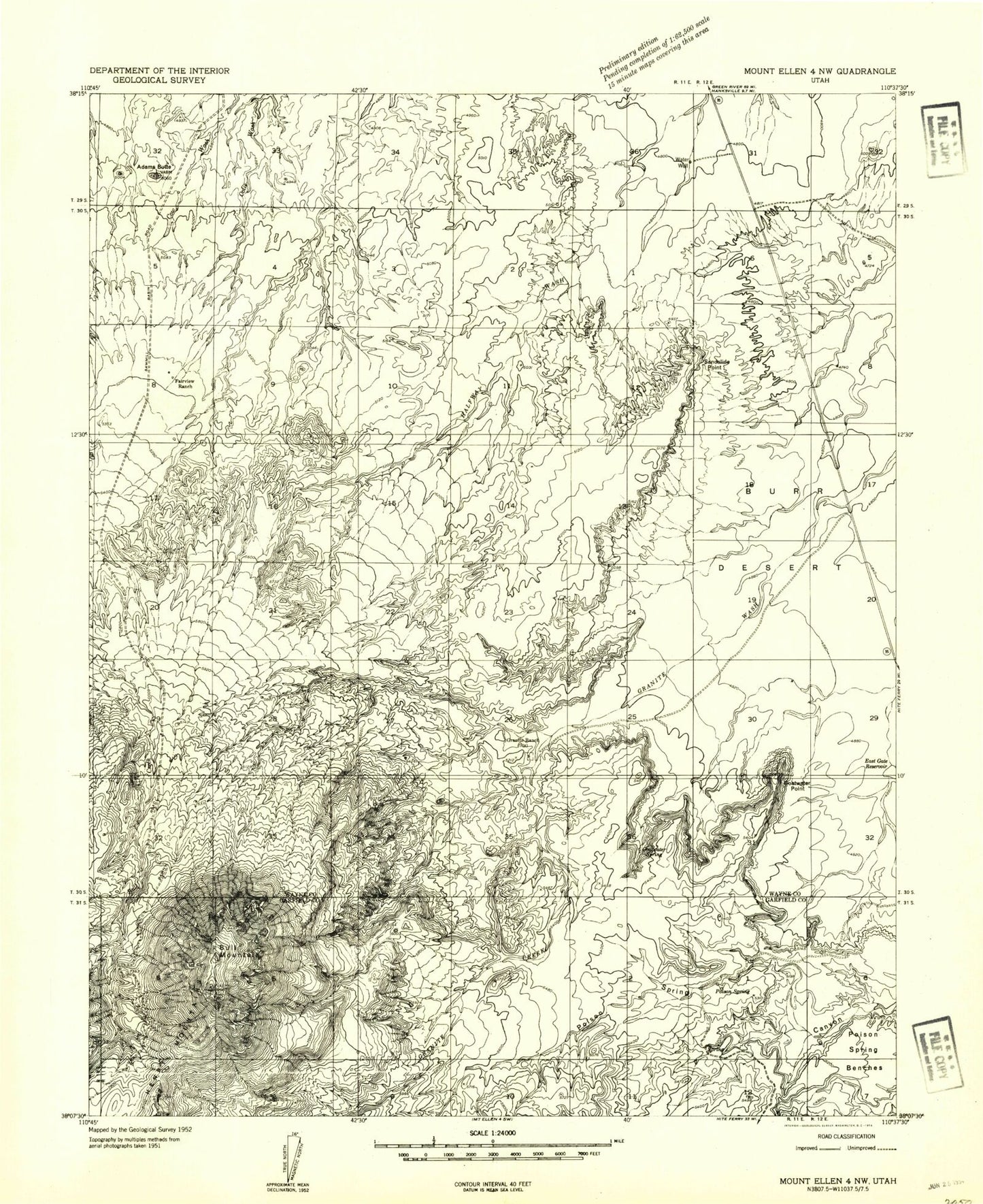
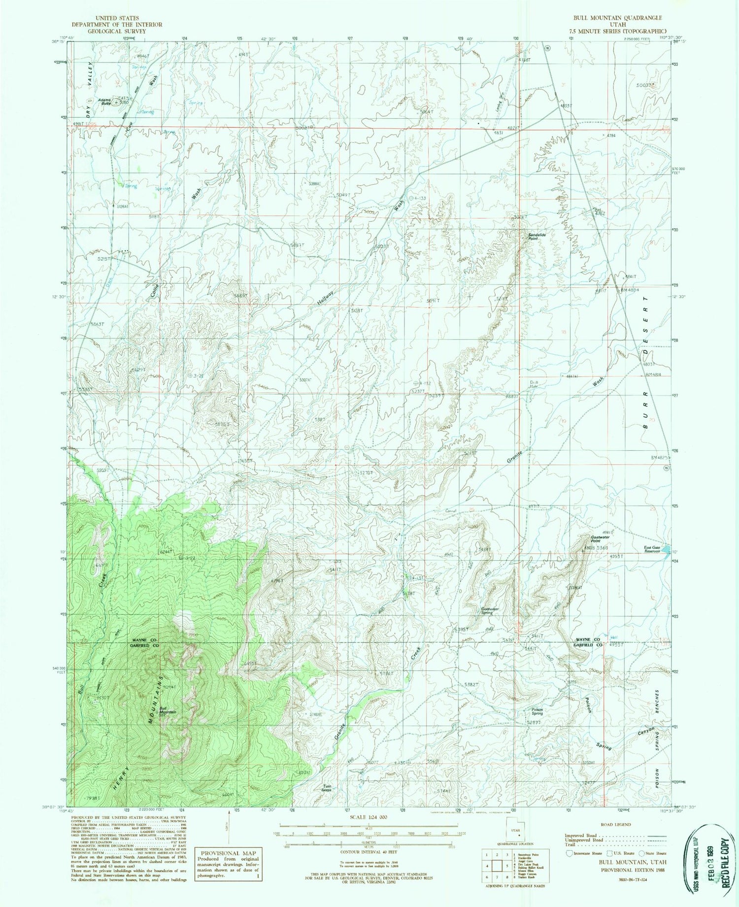
Historical USGS topographic quad map of Bull Mountain in the state of Utah. Map scale may vary for some years, but is generally around 1:24,000. Print size is approximately 24" x 27"
This quadrangle is in the following counties: Garfield, Wayne.
The map contains contour lines, roads, rivers, towns, and lakes. Printed on high-quality waterproof paper with UV fade-resistant inks, and shipped rolled.
Contains the following named places: Adams Butte, Blue Knoll, Bull Mountain, East Gate Reservoir, Energy Airport, Fairview Ranch, Goatwater Point, Goatwater Spring, Granite Creek, Granite Ranch, Poison Spring, Sandslide Point, Twin Seeps