MyTopo
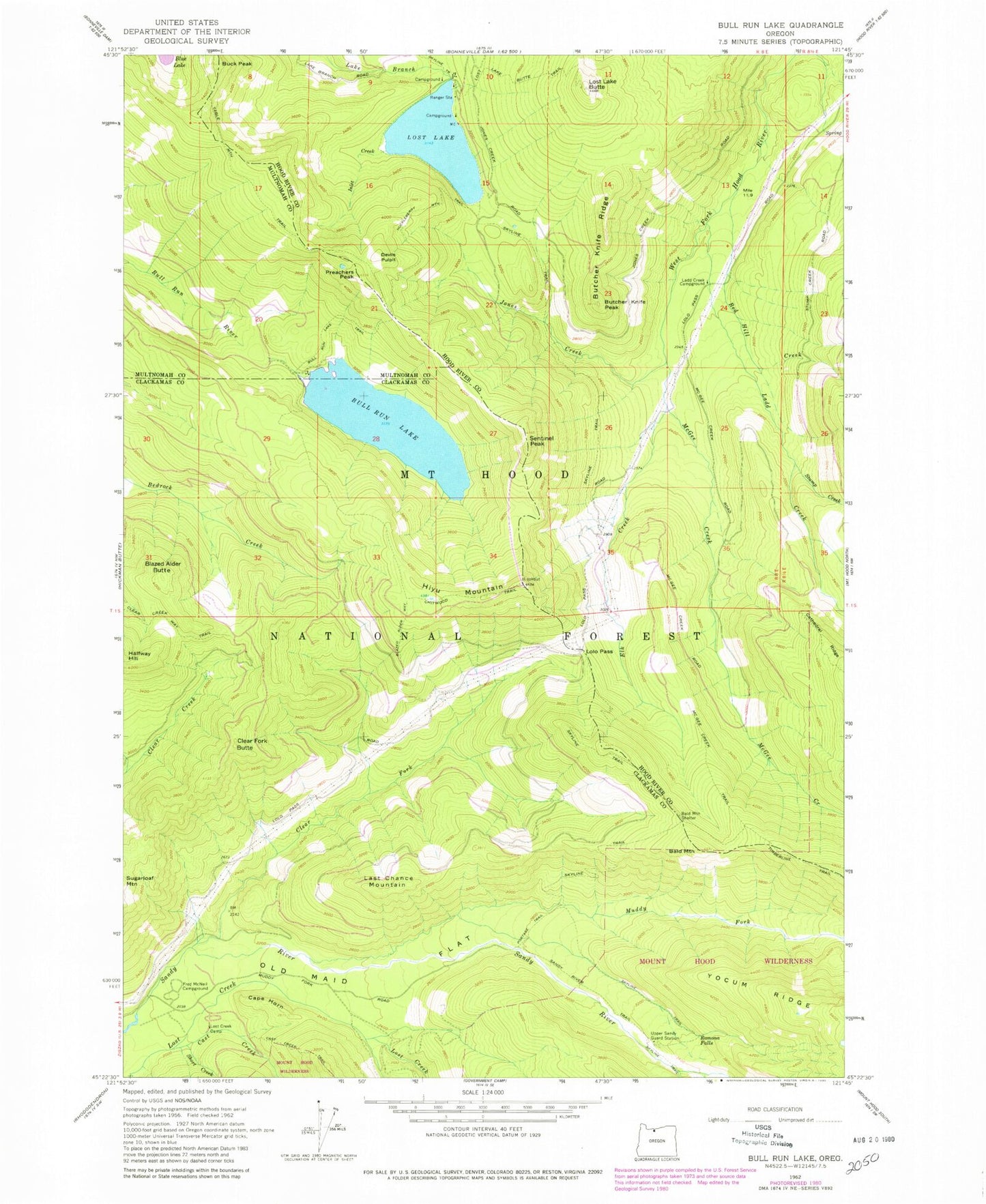
Classic USGS Bull Run Lake Oregon 7.5'x7.5' Topo Map
Couldn't load pickup availability
Historical USGS topographic quad map of Bull Run Lake in the state of Oregon. Typical map scale is 1:24,000, but may vary for certain years, if available. Print size: 24" x 27"
This quadrangle is in the following counties: Clackamas, Hood River, Multnomah.
The map contains contour lines, roads, rivers, towns, and lakes. Printed on high-quality waterproof paper with UV fade-resistant inks, and shipped rolled.
Contains the following named places: Bald Mountain, Bald Mountain Shelter, Blazed Alder Butte, Blazed Alder Way Trail, Blue Lake, Buck Peak, Bull Run Lake Trail, Butcher Knife Ridge, Butcher Knife Peak, Cape Horn, Cast Creek, Chitwood Trail, Clear Fork, Clear Fork Butte, Devils Pulpit, Elk Creek, McNeil Recreation Site, Hiyu Mountain, Huckleberry Mountain Trail, Inlet Creek, Jones Creek, Ladd Creek, Ladd Creek Campground (historical), Last Chance Mountain, Lolo Pass, Riley Horse Camp, Lost Lake, Lost Lake Butte, Lost Lake Butte Trail, McGee Creek, Muddy Fork, Old Maid Flat, Portage Trail, Preachers Peak, Ramona Falls, Red Hill Creek, Rushing Water Creek, Sandy River Trail, Sentinel Peak, Short Creek, Stump Creek, Table Mountain Trail, Upper Sandy Guard Station (historical), Lost Lake Ranger Station, Bull Run Lake, Dodge Island, Bull Run Lake Dam, Lost Creek Recreation Site, Bull Run Research Natural Area, Lost Lake Recreation Site, Lost Lake Resort, Salvation Spring, Lost Lake Boat Ramp, Chitwood Quarry, Hiyu Mountain Quarry, Sandy Wild and Scenic River


