MyTopo
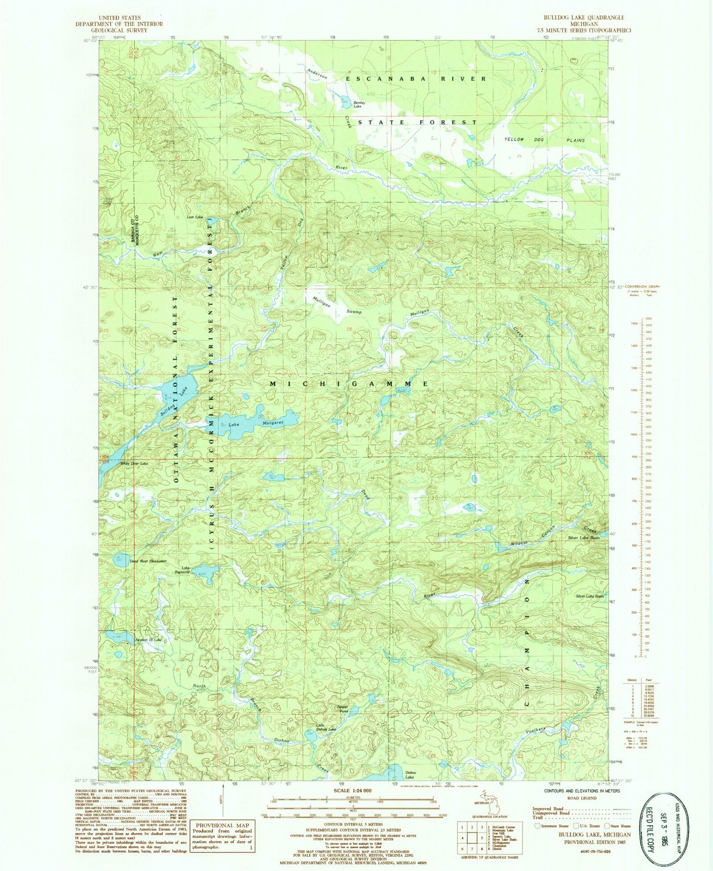
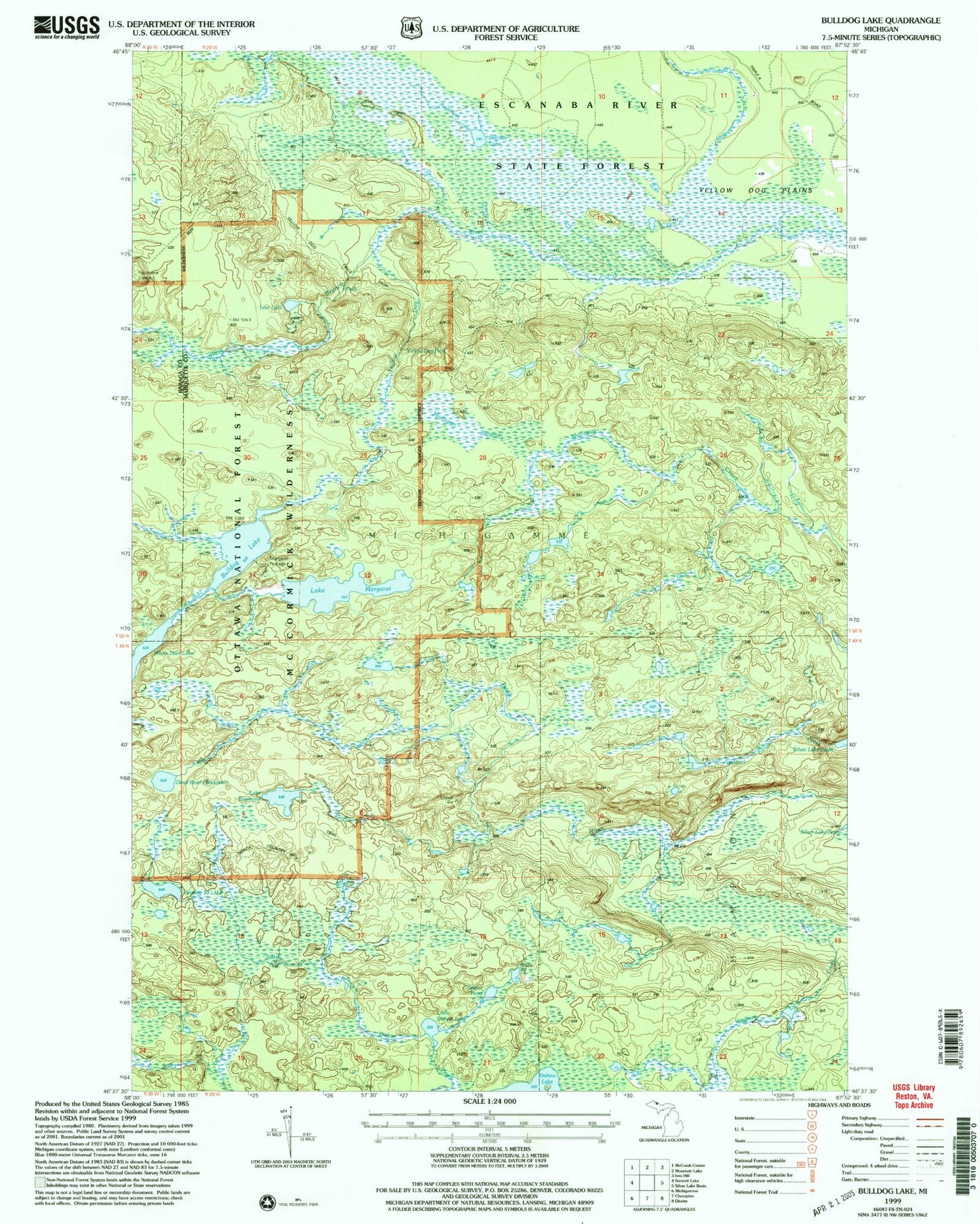
USGS Classic Bulldog Lake Michigan 7.5'x7.5' Topo Map
Regular price
$16.95
Regular price
Sale price
$16.95
Unit price
per
Couldn't load pickup availability
Historical USGS topographic quad map of Bulldog Lake in the state of Michigan. Scale: 1:24000. Print size: 24" x 27"
This quadrangle is in the following counties: Baraga, Marquette.
The map contains contour lines, roads, rivers, towns, lakes, and grids including latitude / longitude and UTM / MGRS. Printed on high-quality waterproof paper with UV fade-resistant inks.
Contains the following named places: Bulldog Lake, Lake Margaret, Mulligan Swamp, Lake Raymond, Wildcat Canyon Creek, Beaver Pond, Dead River Headwater, Lost Lake, North Country Trail, Little Dishno Lake, West Branch Yellow Dog Falls, Yellow Dog Falls, Bentley Lake, Section Thirteen Lake, Anderson Creek, Yellow Dog Wild and Scenic River