MyTopo
Classic USGS Bullis Mills Pennsylvania 7.5'x7.5' Topo Map
Couldn't load pickup availability
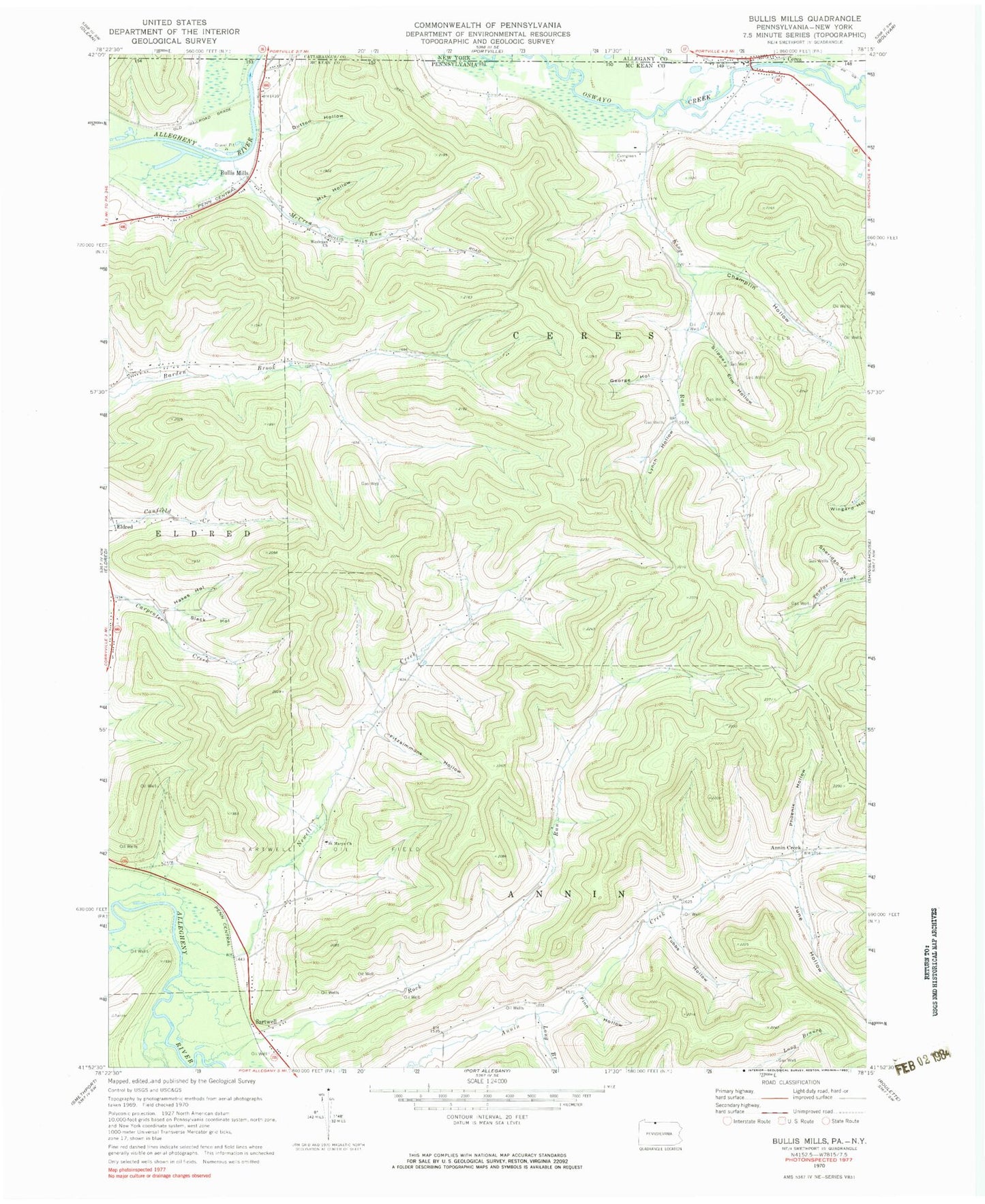
Historical USGS topographic quad map of Bullis Mills in the states of Pennsylvania, New York. Map scale may vary for some years, but is generally around 1:24,000. Print size is approximately 24" x 27"
This quadrangle is in the following counties: Allegany, Cattaraugus, McKean.
The map contains contour lines, roads, rivers, towns, and lakes. Printed on high-quality waterproof paper with UV fade-resistant inks, and shipped rolled.
Contains the following named places: Annin Creek, Annin Creek School, Bullis Mills, Ceres, Ceres Cemetery, Ceres Post Office, Champlin Hollow, Dutton Hollow, Evergreen Cemetery, Finn Hollow, Fitzsimmons Hollow, Freefall Oz Airport, George Hollow, Hakes Hollow, June Hollow, Kings Run, Little Genesee Creek, Long Branch, Lower Kings Run School, Lynch Hollow, McCrea Run, Mix Hollow, Newell Creek, Newell Creek School, Open Brook, Phoenix Hollow, Rock Run, Rock Run School, Saint Marys Church, Saint Mary's Roman Catholic Cemetery, Sartwell, Sartwell Oil Field, Sheridan Hollow, Slack Hollow, Slippery Elm Hollow, Township of Annin, Township of Ceres, Tubbs Hollow, Wesleyan Church, ZIP Codes: 16731, 16750


