MyTopo
Classic USGS Bunch Oklahoma 7.5'x7.5' Topo Map
Couldn't load pickup availability
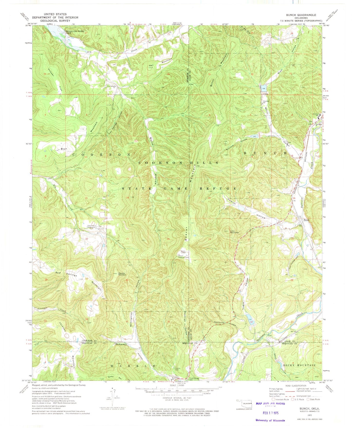
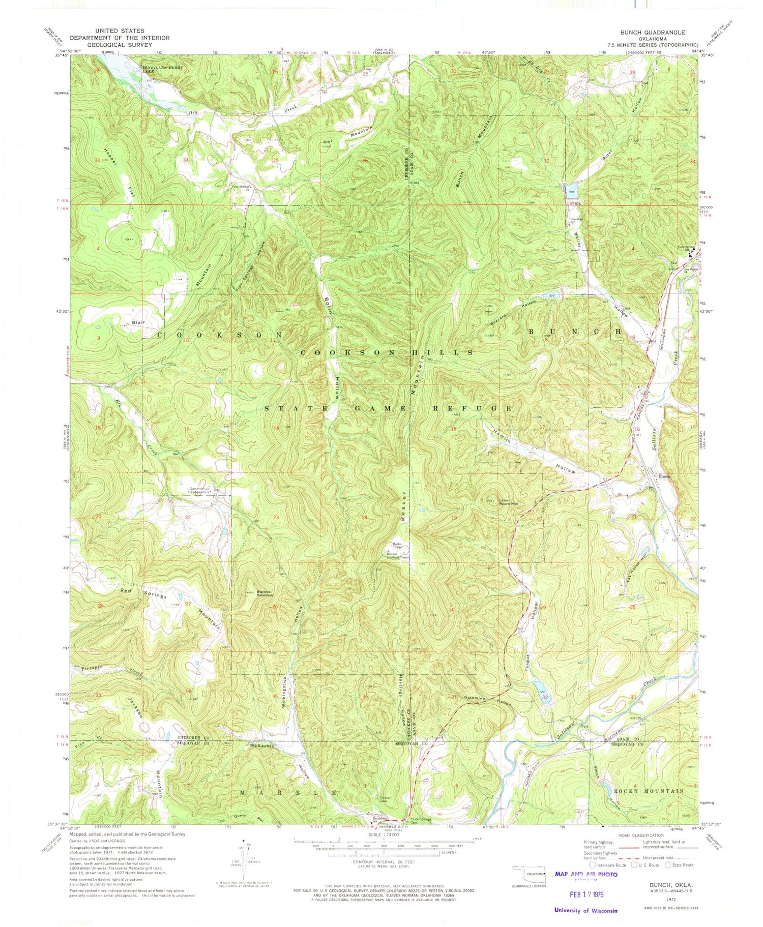
Historical USGS topographic quad map of Bunch in the state of Oklahoma. Typical map scale is 1:24,000, but may vary for certain years, if available. Print size: 24" x 27"
This quadrangle is in the following counties: Adair, Cherokee, Sequoyah.
The map contains contour lines, roads, rivers, towns, and lakes. Printed on high-quality waterproof paper with UV fade-resistant inks, and shipped rolled.
Contains the following named places: Beaver Mountain, Blair Mountain, Blaylock Mountain, Bolin Hollow, Bunch Mountain, Buzzard Hollow, Cave Springs Church, Cave Springs Elementary / Middle School, Cherokee School, Cookson Hills State Game Refuge, Fat Horse Hollow, Flute Springs Cemetery, Goldmine Hollow, Hamlin Hollow, Hastings Hollow, Henderson School, Hopper Flat, Jackson Mountain, Lead Mine Hollow, Little Round Mountain, Log Cabin Church, Malloy Hollow, Owl Mountain, Pipe Springs Hollow, Red Springs Mountain, Rider Hollow, Smith Hollow, Teague Hollow, Walkingstick Hollow, Bunch, Beaver Lookout Tower, Sallisaw Creek Site 27 Dam, Sallisaw Creek Site 27 Reservoir, Sallisaw Creek Site 12 Dam, Sallisaw Creek Site 12 Reservoir, Sallisaw Creek Site 12 Dam, Sallisaw Creek Site 12 Reservoir, Sallisaw Creek Site 13 Dam, Sallisaw Creek Site 13 Reservoir, Sallisaw Creek Site 14 Dam, Sallisaw Creek Site 14 Reservoir, Sallisaw Creek Site 15 Dam, Sallisaw Creek Site 15 Reservoir, Sallisaw Creek Site 23 Dam, Sallisaw Creek Site 23 Reservoir, Township of Bunch, Dry Creek, Dry Creek Census Designated Place, Bunch, Dry Creek, Flute Springs, Bunch Cemetery, Cave Springs High School, Bunch Post Office, Cave Spring Census Designated Place