MyTopo
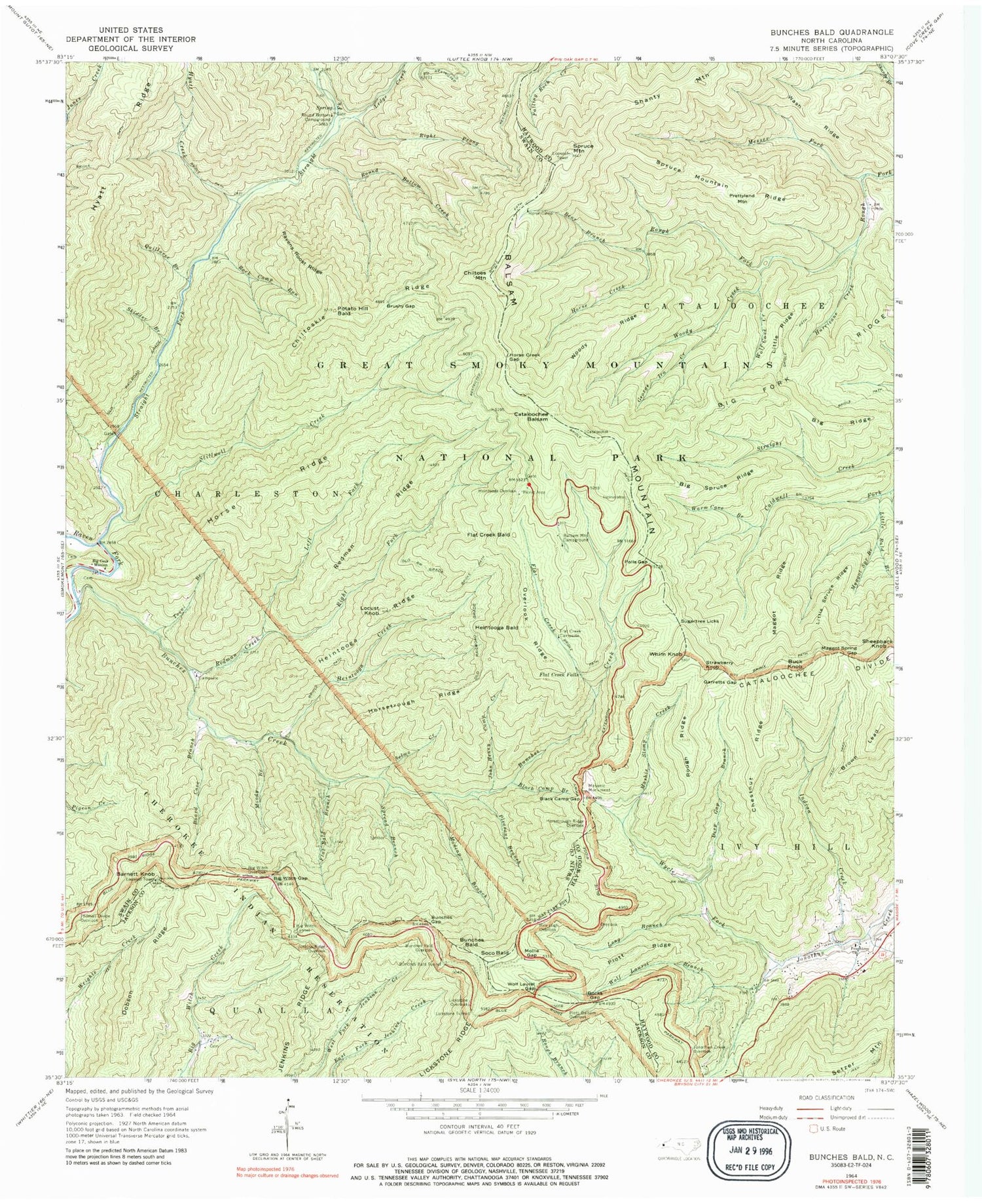
Classic USGS Bunches Bald North Carolina 7.5'x7.5' Topo Map
Couldn't load pickup availability
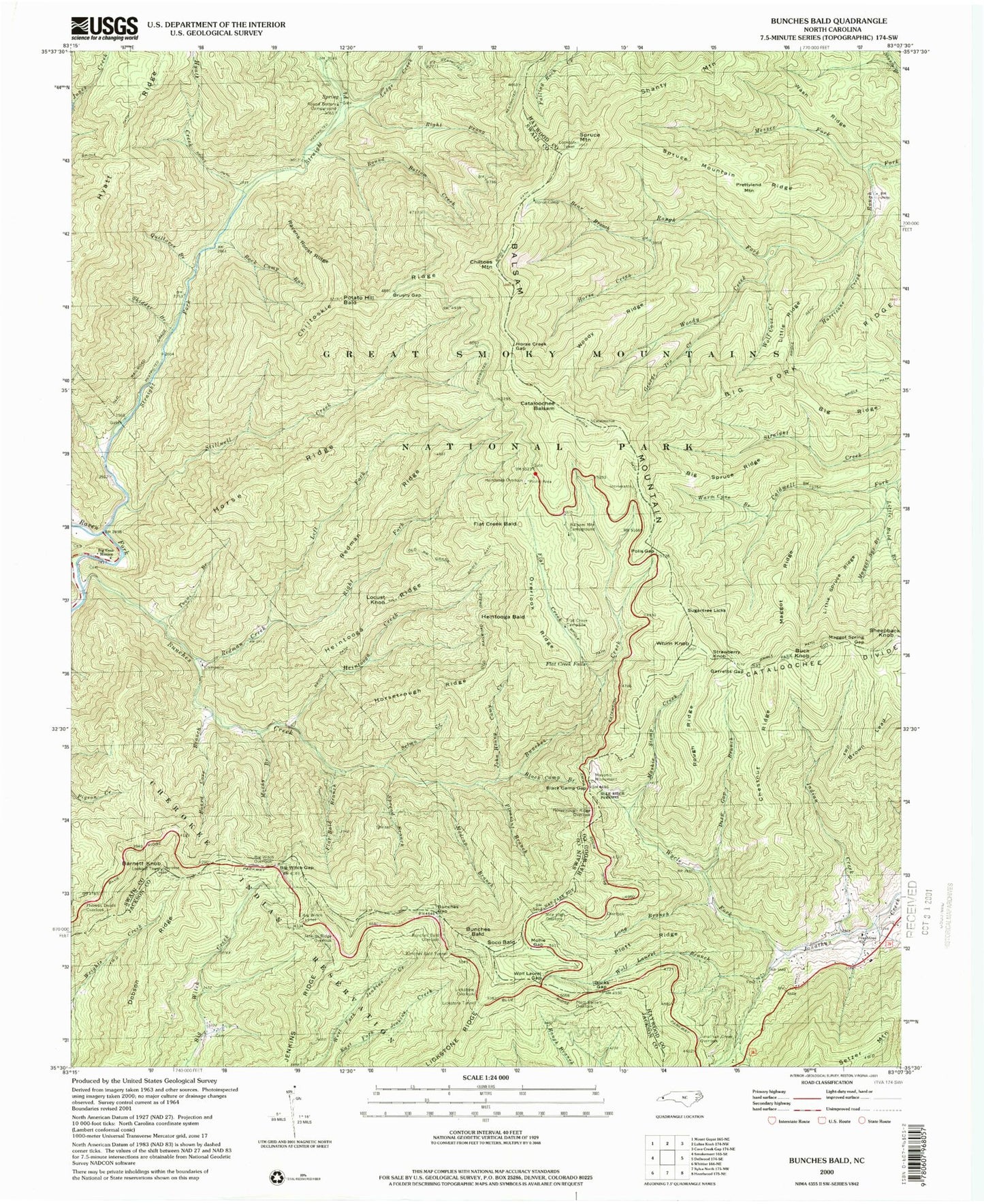
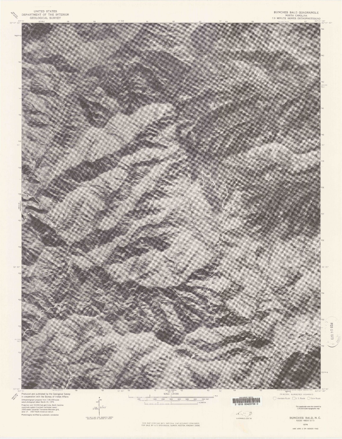
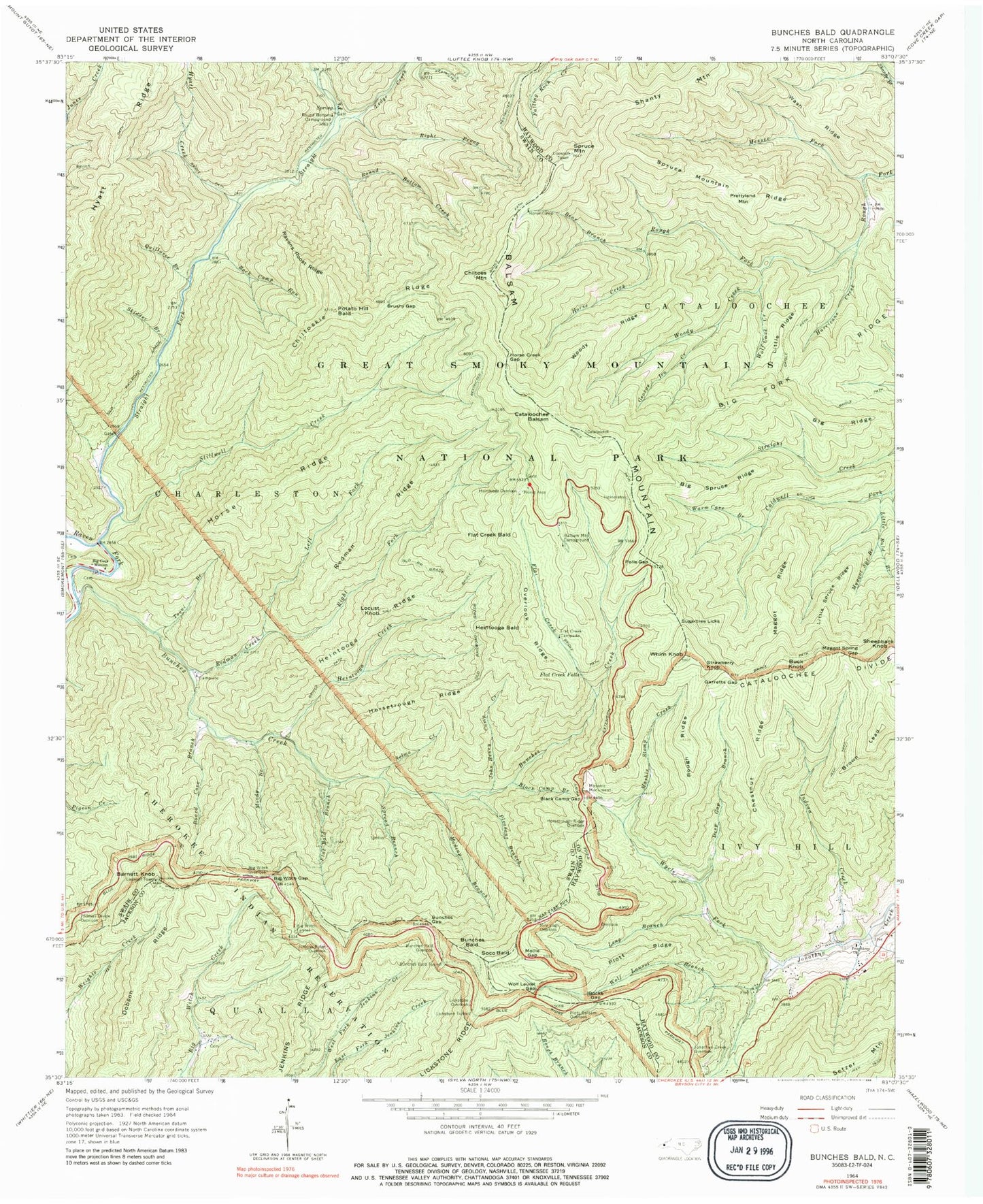
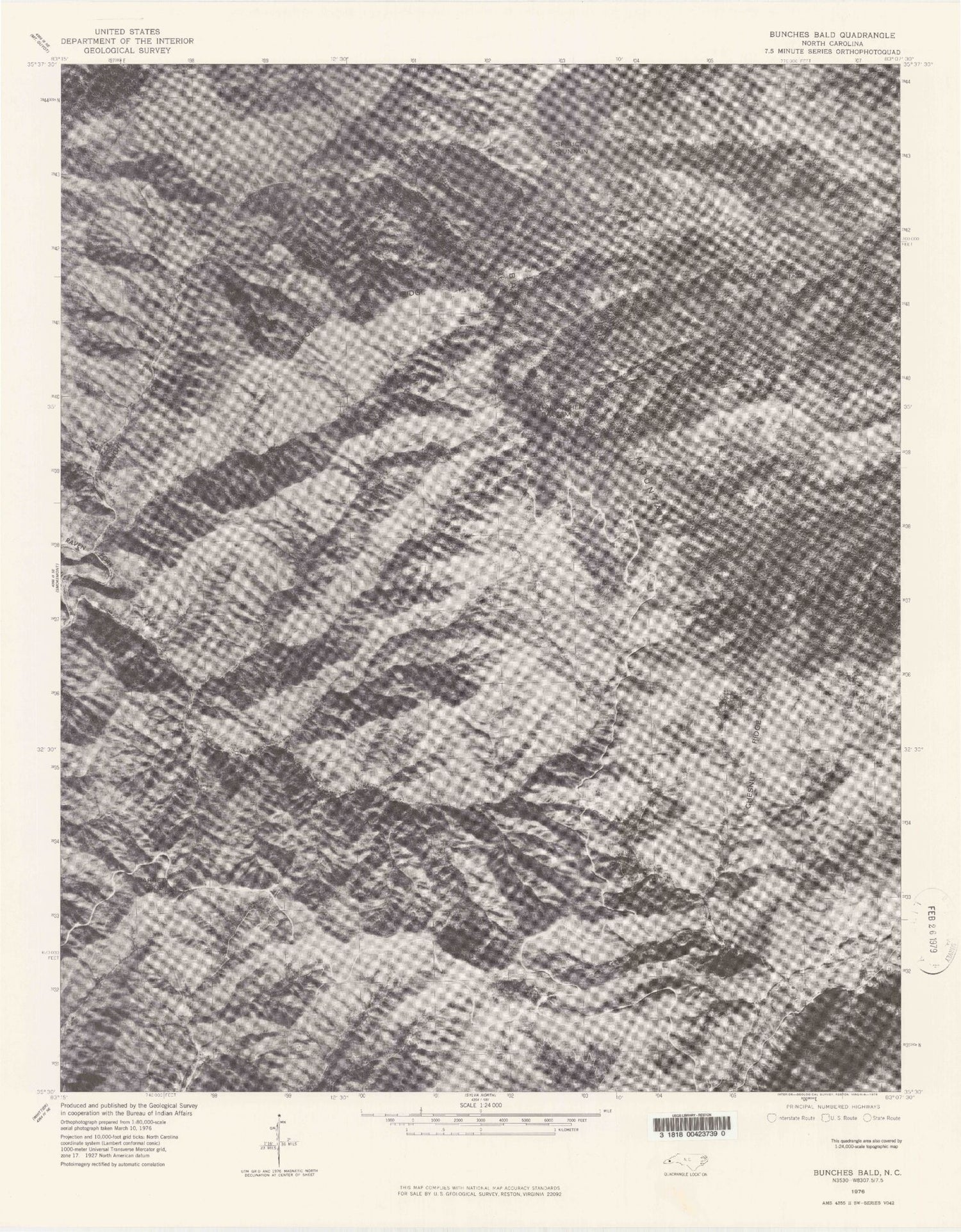
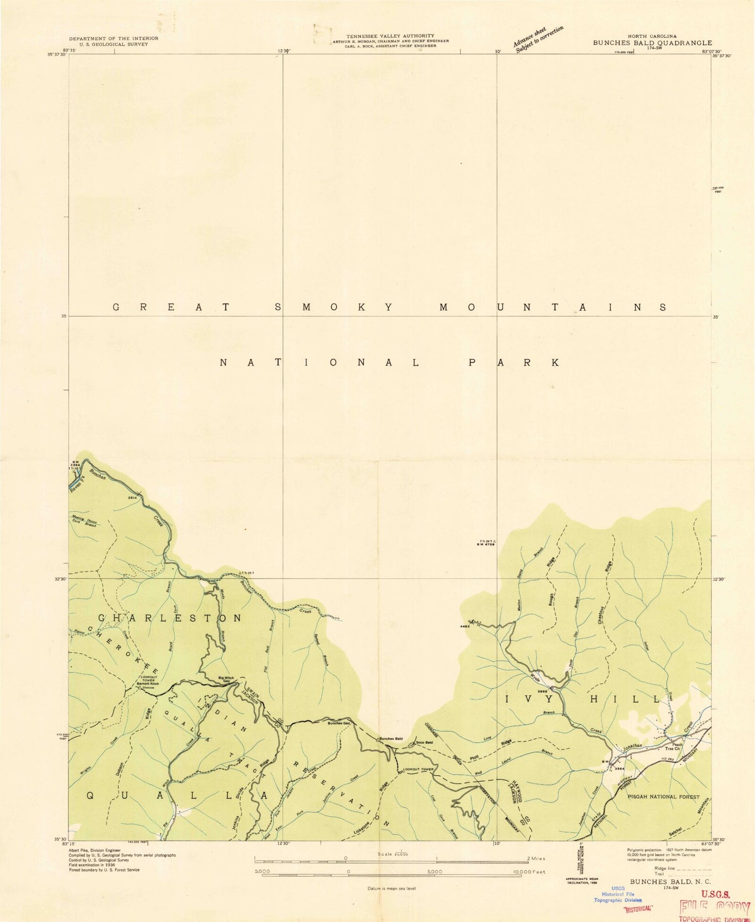
Historical USGS topographic quad map of Bunches Bald in the state of North Carolina. Typical map scale is 1:24,000, but may vary for certain years, if available. Print size: 24" x 27"
This quadrangle is in the following counties: Haywood, Jackson, Swain.
The map contains contour lines, roads, rivers, towns, and lakes. Printed on high-quality waterproof paper with UV fade-resistant inks, and shipped rolled.
Contains the following named places: Balsam Mountain Campground, Barnett Knob, Bear Branch, Big Cove, Big Cove Mission, Big Ridge, Big Spruce Ridge, Big Witch Gap, Big Witch Overlook, Big Witch Tunnel, Black Camp Branch, Black Camp Gap, Board Cove Branch, Brown Lead, Brushy Gap, Bunches Bald Overlook, Bunches Bald Tunnel, Bunches Creek, Bunches Gap, Cataloochee Balsam, Chestnut Ridge, Chiltoskie Ridge, Deep Gap Branch, Dobson Ridge, Docks Gap, Flat Bald Branch, Flat Creek, Flat Creek Campsite, Flat Creek Falls, Garretts Gap, George Ira Creek, Heintooga Bald, Heintooga Creek, Heintooga Overlook, Heintooga Ridge, Horse Camp, Horse Creek, Horse Creek Gap, Horse Ridge, Horsetrough Ridge, Horsetrough Ridge Overlook, Hurricane Creek, Hyatt Creek, Indian Creek, Jenkins Ridge, Jenkins Ridge Overlook, John Henry Camp Creek, Jonathan Creek Overlook, Jones Creek, Ledge Creek, Left Fork Redman Creek, Lickstone Overlook, Lickstone Ridge, Lickstone Ridge Tunnel, Little Ridge, Little Spruce Ridge, Locust Knob, Long Branch, Madcap Branch, Maggot Ridge, Maggot Spring Branch, Maggot Spring Gap, Mashie Stomp Creek, Masonic Monument, Messer Fork, Mile High Overlook, Mollie Gap, Moody Branch, Overlook Ridge, Peachtree Church, Pleasant Branch, Plott Balsam Overlook, Plott Ridge, Polls Gap, Potato Hill Bald, Quillaree Branch, Ravens Roost Ridge, Redman Creek, Redman Ridge, Right Fork Redman Creek, Right Prong Ledge Creek, Rock Camp Run, Rough Ridge, Round Bottom Campground, Round Bottom Creek, Selma Creek, Skidder Branch, Spread Branch, Spruce Mountain Ridge, Stillwell Creek, Thomas Divide Overlook, Tooni Branch, Warm Cove Branch, Wash Ridge, Whim Knob, Wolf Cove Creek, Wolf Laurel Branch, Wolf Laurel Gap, Woody Creek, Woody Ridge, Wycle Fork, Straight Fork Raven Fork, Big Fork Ridge, Little Bald Branch, Sugartree Licks, Buck Knob, Bunches Bald, Chiltoes Mountain, Flat Creek Bald, Prettyland Mountain, Sheepback Knob, Soco Bald, Strawberry Knob, Shanty Mountain, Spruce Mountain, Round Bottom Horse Camp, McGhee Cemetery, Balsam Mountain Campground, Barnett Knob, Bear Branch, Big Cove, Big Cove Mission, Big Ridge, Big Spruce Ridge, Big Witch Gap, Big Witch Overlook, Big Witch Tunnel, Black Camp Branch, Black Camp Gap, Board Cove Branch, Brown Lead, Brushy Gap, Bunches Bald Overlook, Bunches Bald Tunnel, Bunches Creek, Bunches Gap, Cataloochee Balsam, Chestnut Ridge, Chiltoskie Ridge, Deep Gap Branch, Dobson Ridge, Docks Gap, Flat Bald Branch, Flat Creek, Flat Creek Campsite, Flat Creek Falls, Garretts Gap, George Ira Creek, Heintooga Bald, Heintooga Creek, Heintooga Overlook, Heintooga Ridge, Horse Camp, Horse Creek, Horse Creek Gap, Horse Ridge, Horsetrough Ridge, Horsetrough Ridge Overlook, Hurricane Creek, Hyatt Creek, Indian Creek, Jenkins Ridge, Jenkins Ridge Overlook, John Henry Camp Creek, Jonathan Creek Overlook, Jones Creek, Ledge Creek, Left Fork Redman Creek, Lickstone Overlook, Lickstone Ridge, Lickstone Ridge Tunnel, Little Ridge, Little Spruce Ridge, Locust Knob, Long Branch, Madcap Branch, Maggot Ridge, Maggot Spring Branch, Maggot Spring Gap, Mashie Stomp Creek, Masonic Monument, Messer Fork, Mile High Overlook, Mollie Gap, Moody Branch, Overlook Ridge, Peachtree Church, Pleasant Branch, Plott Balsam Overlook, Plott Ridge, Polls Gap, Potato Hill Bald, Quillaree Branch, Ravens Roost Ridge, Redman Creek, Redman Ridge, Right Fork Redman Creek, Right Prong Ledge Creek, Rock Camp Run, Rough Ridge, Round Bottom Campground, Round Bottom Creek, Selma Creek, Skidder Branch, Spread Branch, Spruce Mountain Ridge, Stillwell Creek, Thomas Divide Overlook, Tooni Branch, Warm Cove Branch, Wash Ridge, Whim Knob, Wolf Cove Creek, Wolf Laurel Branch, Wolf Laurel Gap, Woody Creek, Woody Ridge, Wycle Fork, Straight Fork Raven Fork, Big Fork Ridge, Little Bald Branch, Sugartree Licks, Buck Knob, Bunches Bald, Chiltoes Mountain, Flat Creek Bald, Prettyland Mountain, Sheepback Knob, Soco Bald, Strawberry Knob, Shanty Mountain, Spruce Mountain, Round Bottom Horse Camp, McGhee Cemetery, Balsam Mountain Campground, Barnett Knob