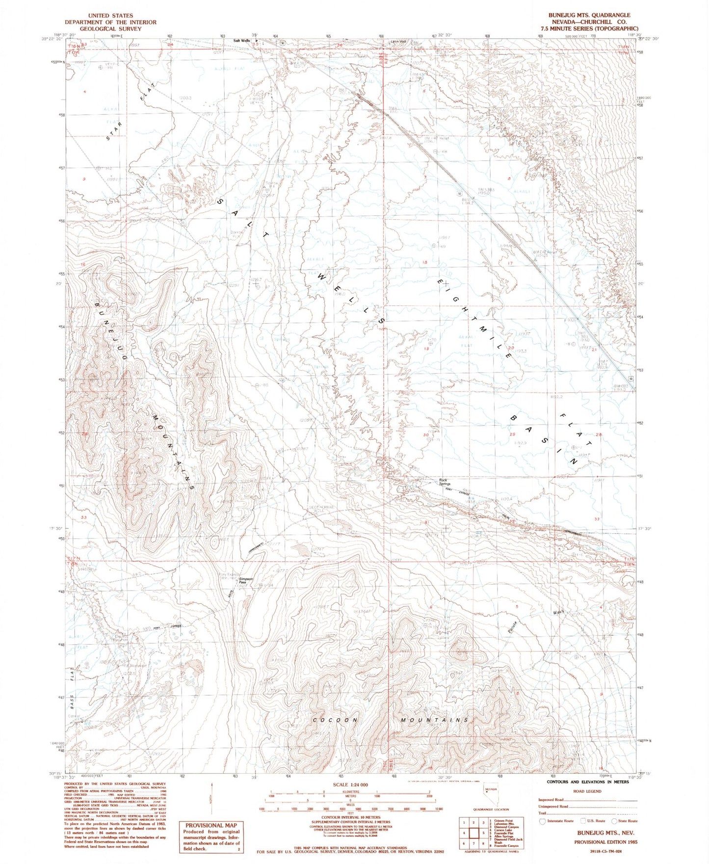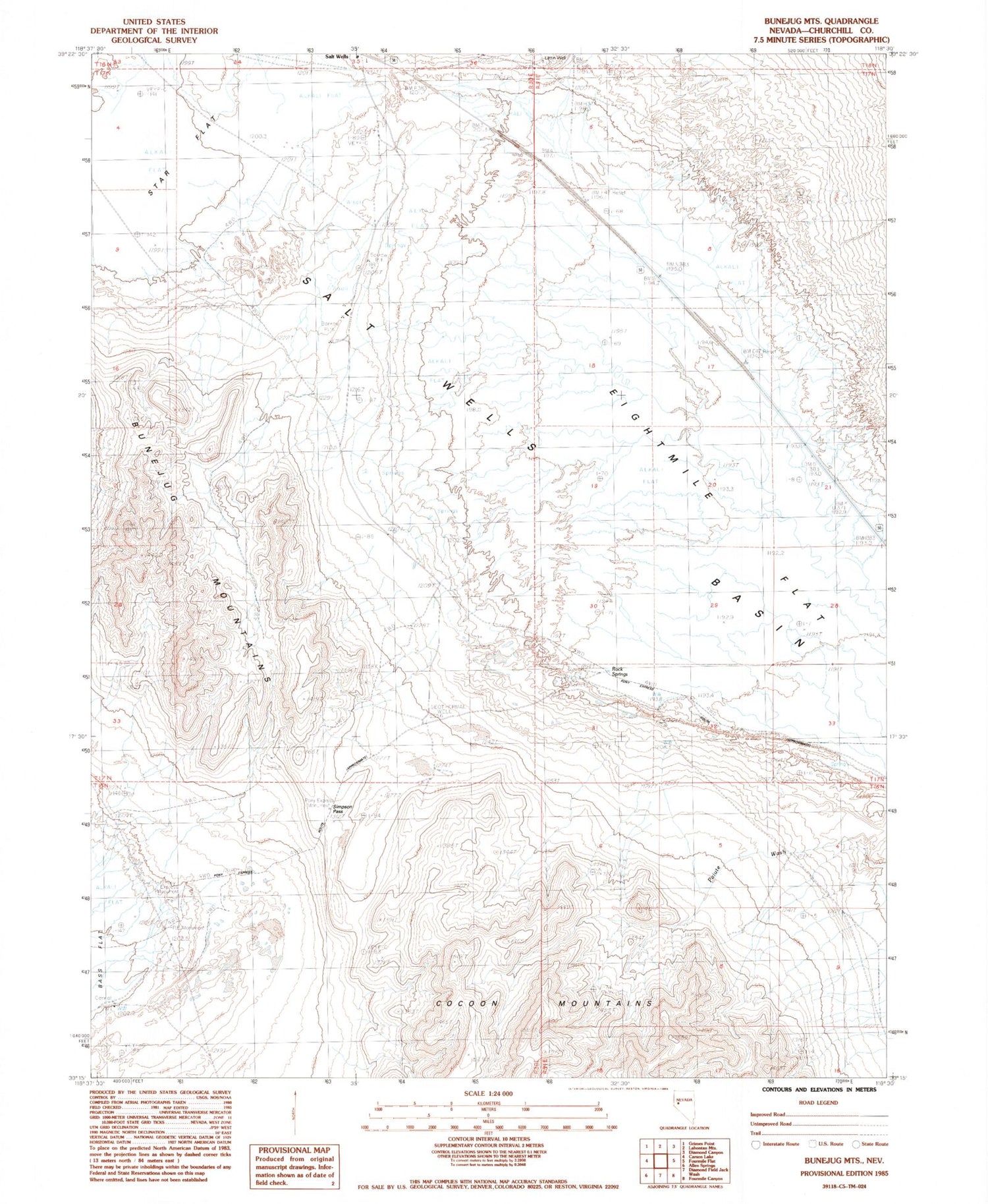
MyTopo
Classic USGS Bunejug Mountains Nevada 7.5'x7.5' Topo Map
Regular price
$16.95
Regular price
Sale price
$16.95
Unit price
per
Couldn't load pickup availability
Historical USGS topographic quad map of Bunejug Mountains in the state of Nevada. Map scale may vary for some years, but is generally around 1:24,000. Print size is approximately 24" x 27"
This quadrangle is in the following counties: Churchill.
The map contains contour lines, roads, rivers, towns, and lakes. Printed on high-quality waterproof paper with UV fade-resistant inks, and shipped rolled.
Contains the following named places: Borax Spring, Bunejug Mountains, Diamond Creek, Eightmile Flat, George Ridge, Lattin Well, Paiute Wash, Pony Express Monument, Rock Springs, Simpson Pass, Star Flat, Water Station, Wheat Peak