MyTopo
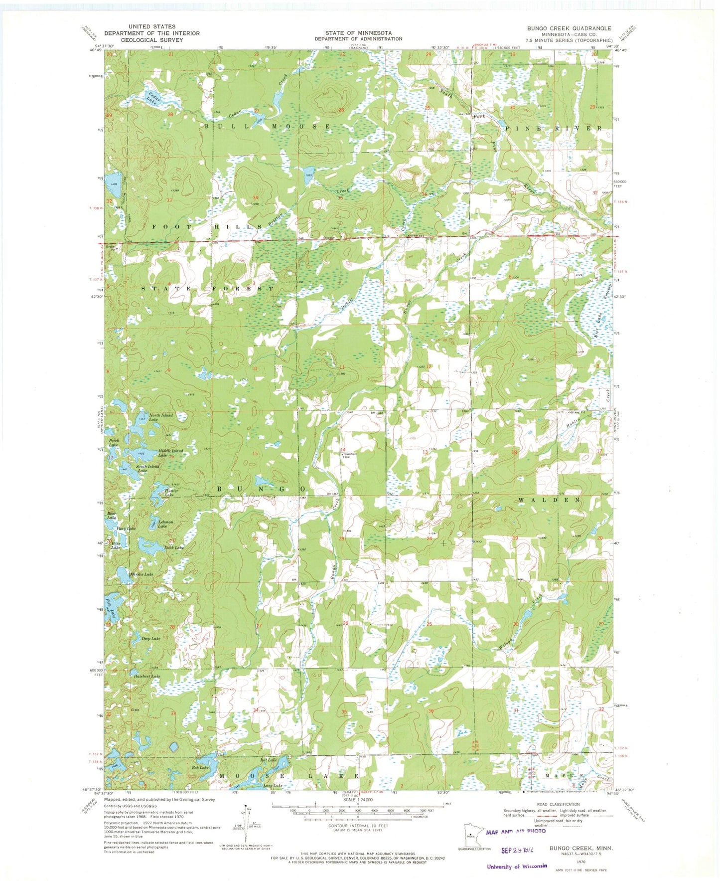
Classic USGS Bungo Creek Minnesota 7.5'x7.5' Topo Map
Couldn't load pickup availability
Historical USGS topographic quad map of Bungo Creek in the state of Minnesota. Map scale may vary for some years, but is generally around 1:24,000. Print size is approximately 24" x 27"
This quadrangle is in the following counties: Cass.
The map contains contour lines, roads, rivers, towns, and lakes. Printed on high-quality waterproof paper with UV fade-resistant inks, and shipped rolled.
Contains the following named places: Bass Lake, Bear Lake, Brittan Creek, Bungo Creek, Bungo Post Office, Cedar Lake, Dabill Creek, Deep Lake, Duck Lake, Fish Lake, Hazelnut Lake, Hunter Lake, Lehman Lake, Middle Island Lake, Minnie Lake, North Island Lake, Perch Lake, Pony Lake, Rat Lake, Rice Lake Swamp, Rob Lake, South Island Lake, Township of Bungo