MyTopo
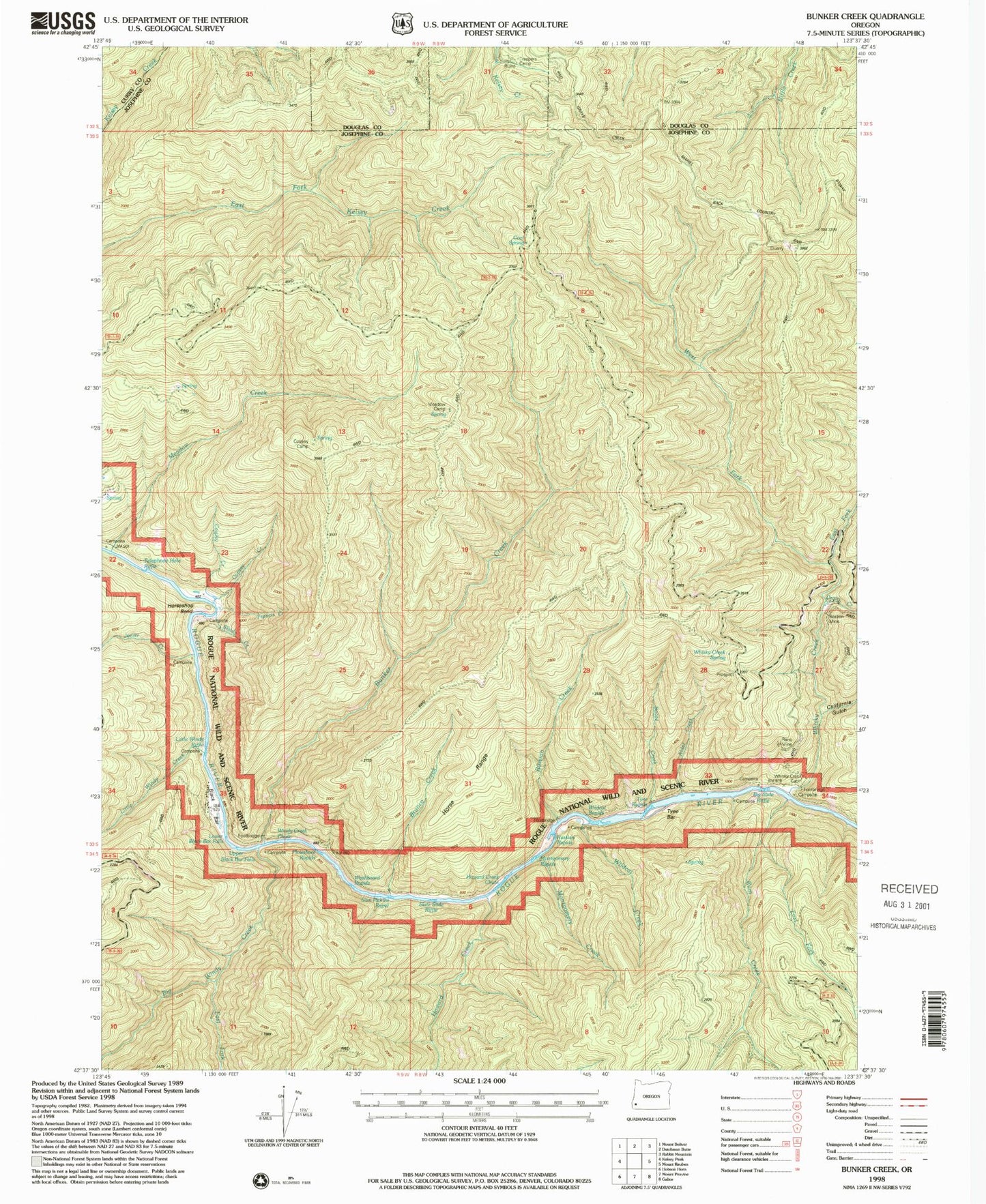
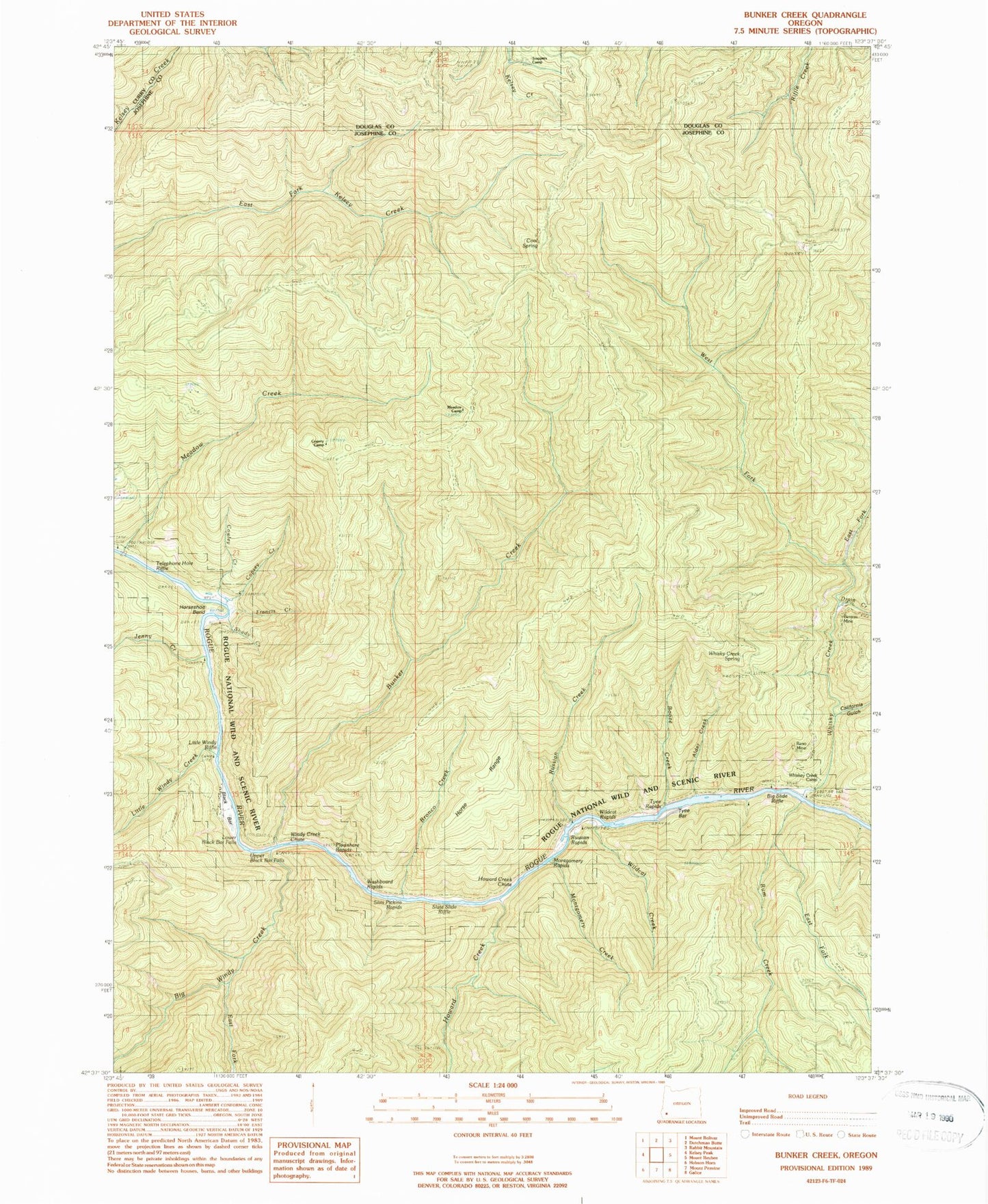
Classic USGS Bunker Creek Oregon 7.5'x7.5' Topo Map
Couldn't load pickup availability
Historical USGS topographic quad map of Bunker Creek in the state of Oregon. Typical map scale is 1:24,000, but may vary for certain years, if available. Print size: 24" x 27"
This quadrangle is in the following counties: Curry, Douglas, Josephine.
The map contains contour lines, roads, rivers, towns, and lakes. Printed on high-quality waterproof paper with UV fade-resistant inks, and shipped rolled.
Contains the following named places: Alder Creek, Benton Mine, Black Bar, Booze Creek, Bronco Creek, Bunker Creek, California Gulch, Cool Spring, Copsey Camp, Copsey Creek, Cowley Creek, Drain Creek, East Fork Rum Creek, East Fork Whisky Creek, Francis Creek, Horse Range, Horse Range Camp (historical), Horseshoe Bend, Meadow Creek, Montgomery Creek, Reno Mine, Russian Creek, Shady Creek, Slate Slide Shelter (historical), Trappers Camp, West Fork Whisky Creek, Whisky Creek, Whisky Creek Spring, Wildcat Creek, Montgomery Rapids, Tyee Rapids, Wildcat Rapids, Horseshoe Bend Campground, Russian Creek Campground, Whisky Creek Cabin, Slate Slide Riffle, Telephone Hole Riffle, Plowshare Rapids, Big Windy Creek, Dutch Henry Trail (historical), East Fork Big Windy Creek, Howard Creek, Jenny Creek, Little Windy Creek, Rum Creek, Meadow Camp, Howard Creek Chute, Little Windy Riffle, Lower Black Bar Falls, Russian Rapids, Slim Pickins Rapid, Upper Black Bar Falls, Washboard Rapids, Tyee Bar, Little Windy Creek Campground, North Jenny Creek Campground, Black Bar Lodge, Doe Creek Campground, Big Slide Campground, Whiskey Creek Campground, Big Windy Creek Campground, Wildcat Campground, Big Slide Riffle, Windy Creek Chute, Illinois Valley Ranger Station


