MyTopo
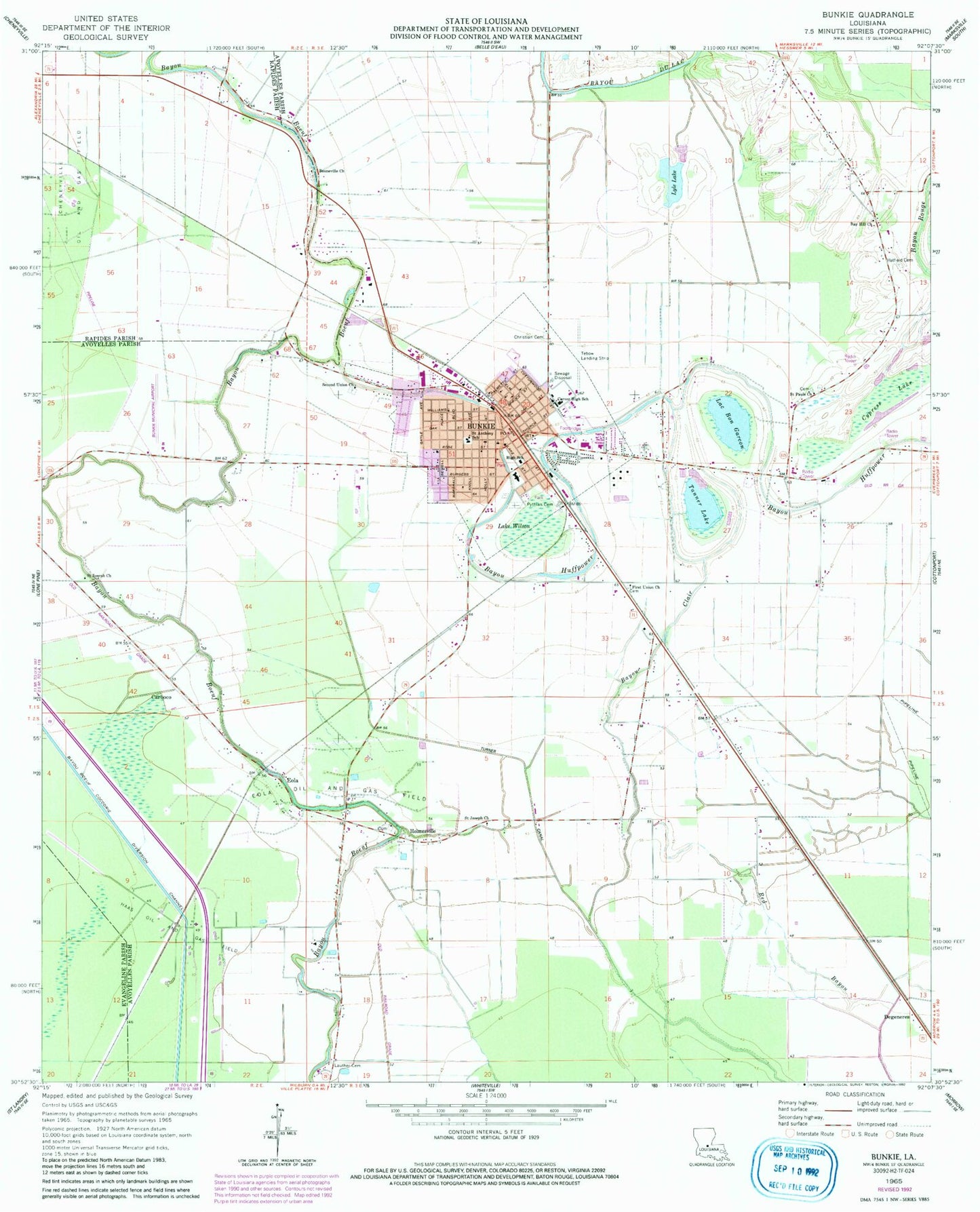
Classic USGS Bunkie Louisiana 7.5'x7.5' Topo Map
Couldn't load pickup availability
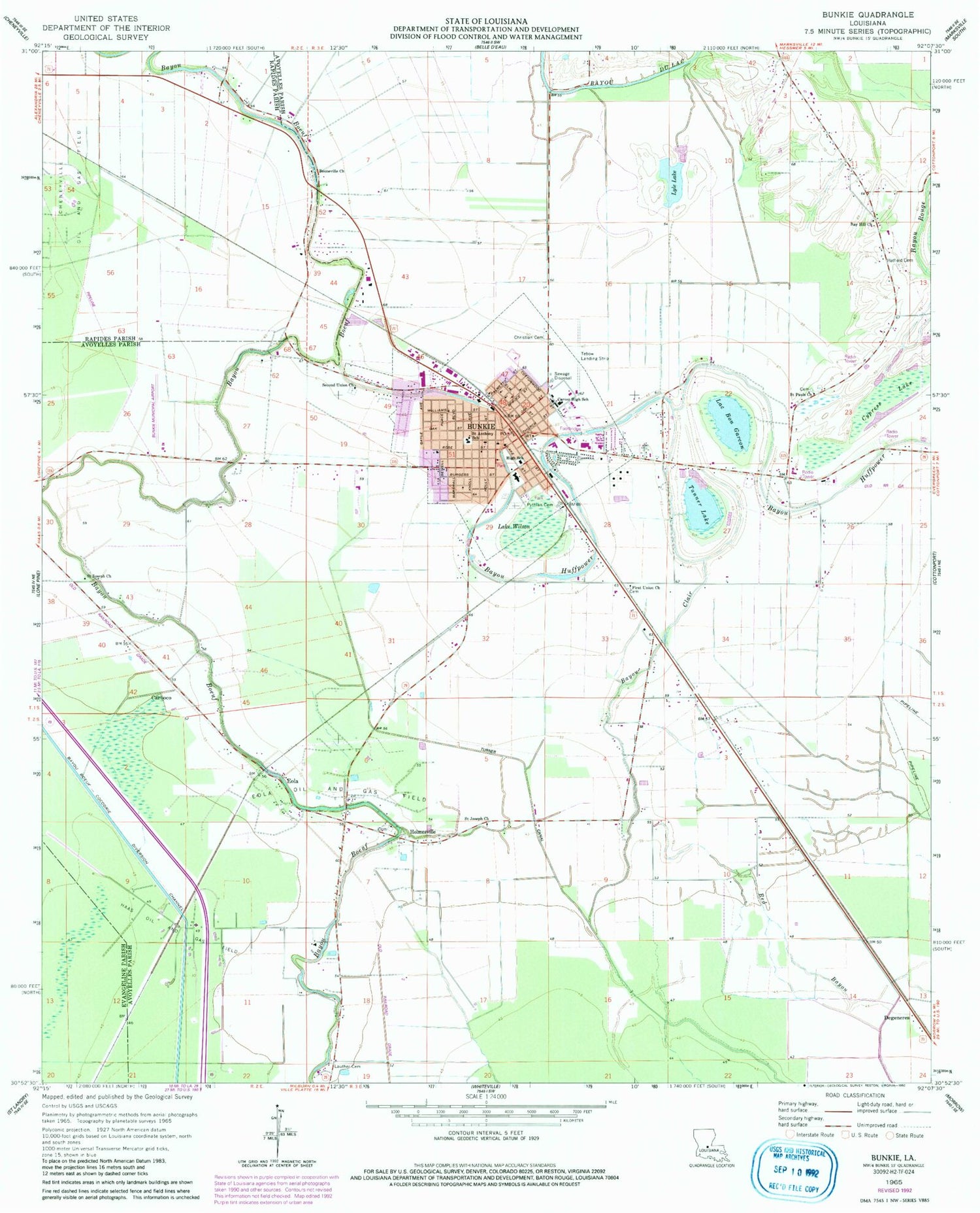
Historical USGS topographic quad map of Bunkie in the state of Louisiana. Map scale may vary for some years, but is generally around 1:24,000. Print size is approximately 24" x 27"
This quadrangle is in the following counties: Avoyelles, Evangeline, Rapides.
The map contains contour lines, roads, rivers, towns, and lakes. Printed on high-quality waterproof paper with UV fade-resistant inks, and shipped rolled.
Contains the following named places: Abram Temple Church of God, Amazon Baptist Church, Apostolic Lighthouse of Bunkie, Bay Hill Church, Bayou Boeuf - Cocodrie Diversion Channel, Bayou Clair, Bayou Rouge Oil Field, Bennet Spur, Booneville Church, Bubenzer, Bunkie, Bunkie Elementary School, Bunkie Fire Department, Bunkie Flying Service, Bunkie General Hospital, Bunkie Magnet High School, Bunkie Middle School, Bunkie Municipal Airport, Bunkie Oil Field, Bunkie Police Department, Bunkie Post Office, Carboco, Cheneyville Oil and Gas Field, Christian Baptist Church, City of Bunkie, Cypress Lake, David Haas Memorial United Methodist Church, Degeneres, Eola, Eola Oil and Gas Field, Ewell Spur, First Baptist Church, First Union Church, Fogleman Cemetery, Friths, Haas Landing Strip, Haas Oil and Gas Field, Hatfield Cemetery, Holmesville, Kelley, Kingdom Hall of Jehovahs Witnesses, Lac Bon Garcon, Lake Wilson, Lauther Cemetery, Leinster, Lyle Lake, Lyle Lake Dam, McDonald, Nibot, Parish Governing Authority District 13, Parish Governing Authority District 14, Parish Governing Authority District 6, Parish Governing Authority District 8, Pythian Cemetery, Rays Ferry, Saint Anthony of Padua Catholic School, Saint Joseph Church, Saint Pauls Church, Salem Baptist Church, Second Union Church, Shirley, Star, Tanner Lake, Tanner Spur, Tebow Airport, Trinity United Methodist Church, Turner Canal, Ward Ten


