MyTopo
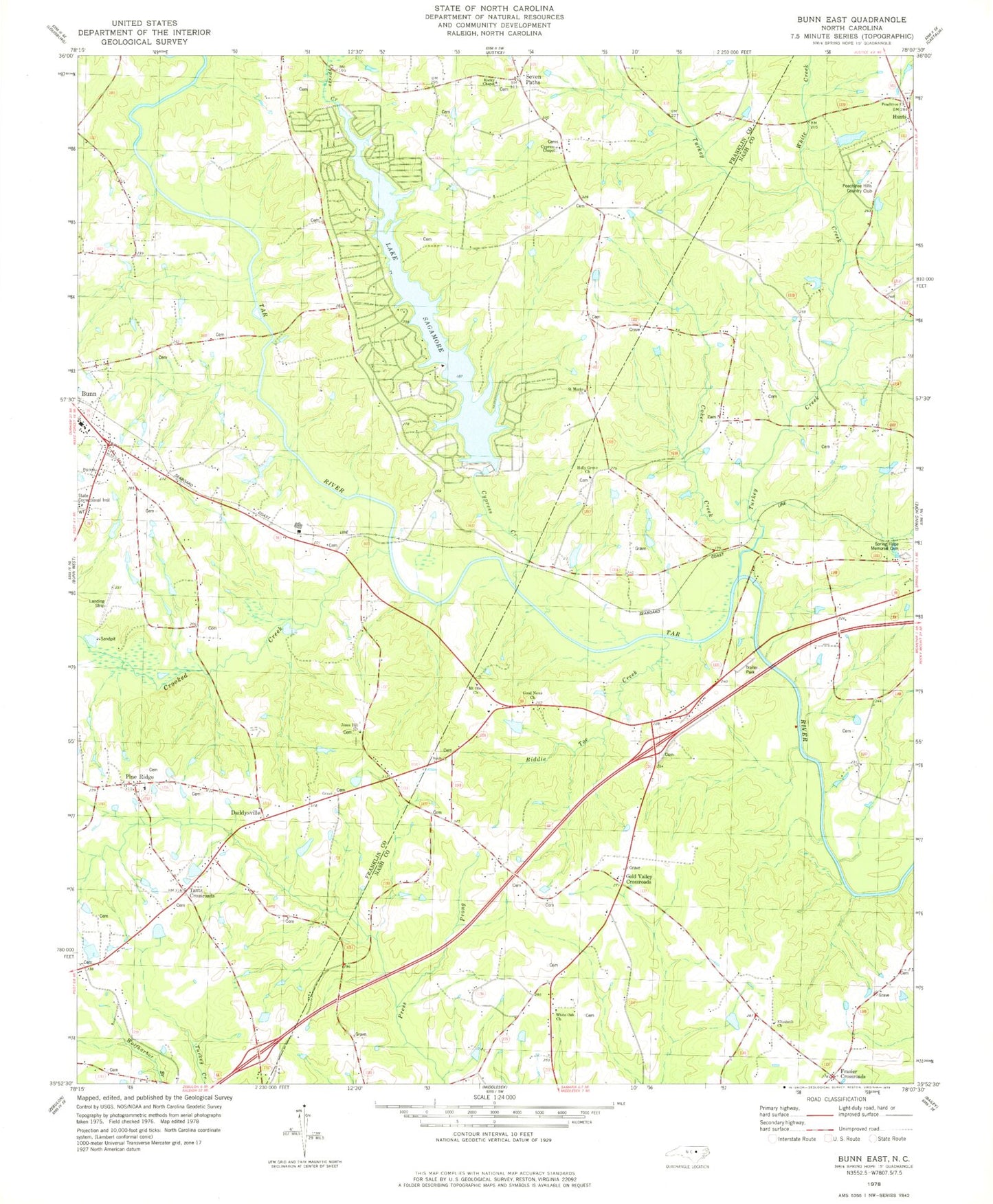
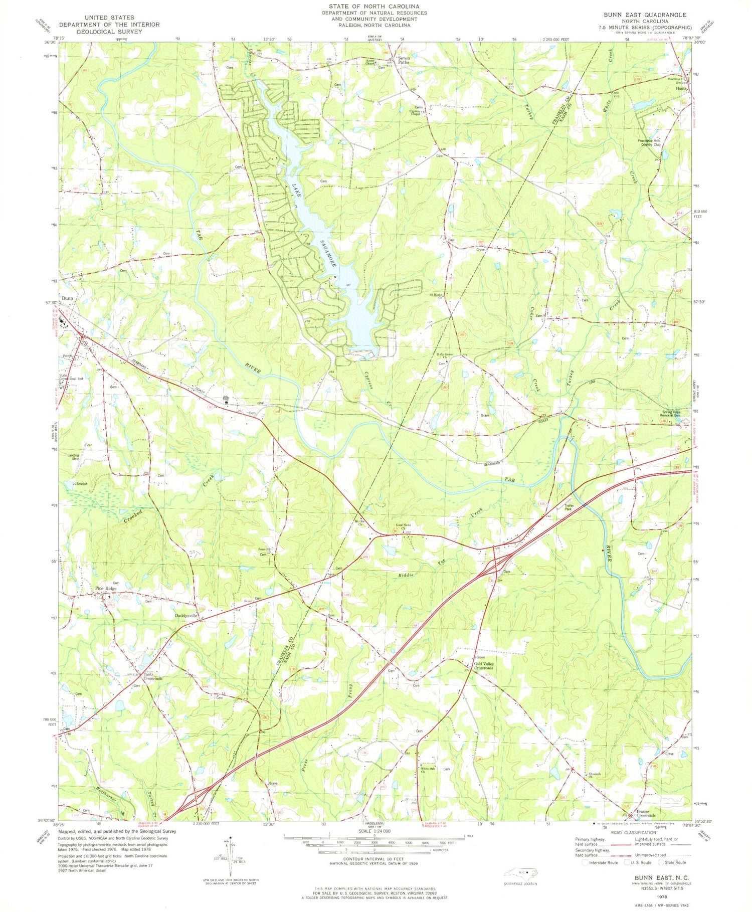
Classic USGS Bunn East North Carolina 7.5'x7.5' Topo Map
Couldn't load pickup availability
Historical USGS topographic quad map of Bunn East in the state of North Carolina. Map scale may vary for some years, but is generally around 1:24,000. Print size is approximately 24" x 27"
This quadrangle is in the following counties: Franklin, Nash.
The map contains contour lines, roads, rivers, towns, and lakes. Printed on high-quality waterproof paper with UV fade-resistant inks, and shipped rolled.
Contains the following named places: Anderson Bridge, Barbees Pond, Barbees Pond Dam, Bass Pond, Bass Pond Dam, Biddie Toe Creek, Brantleys Pond, Brantleys Pond Dam, Bunn Fire Department, Bunn Fire Department - Station 3, Bunn High School, Bunn Police Department, Coker Creek, Creek School, Crooked Creek, Crooked Creek Airport, Cypress Chapel, Cypress Creek, Daddysville, Elizabeth Church, Franklin Correctional Center, Frazier Crossroads, Gold Valley Church, Gold Valley Crossroads, Gold Valley School, Good News Church, Holly Grove Church, Jeffreys Siding Site, Jeffries Pond, Jeffries Pond Dam, Jones Hill Church, Justice Fire Department Station 2, Lake Royale, Lake Royale Census Designated Place, Lake Royale Dam, Lake Sagamore, Mount Olie Church, Mount Olive Church, Mullens Pond, Mullens Pond Dam, Mullins Bridge, Pace Crossroads, Peachtree Church, Peachtree Hills Country Club, Pine Ridge, Pine Ridge School, Rocky Chapel, Saint Marks Church, Seven Paths, Spring Hope Memorial Cemetery, Spring Paths Airport, State Correctional Institute, Tants Crossroads, Taybron School, Township of Ferrells, Turkey Creek, Webbs Bridge, Webbs Mill, White Creek, White Oak Church, ZIP Code: 27508


