MyTopo
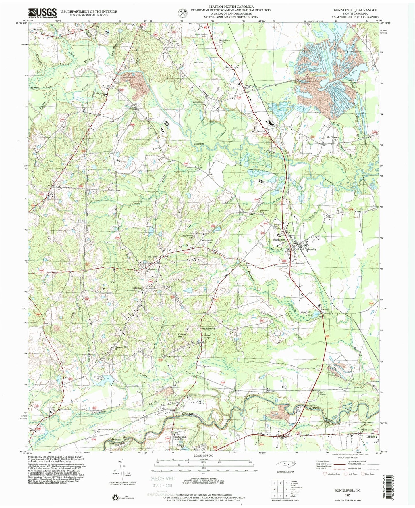
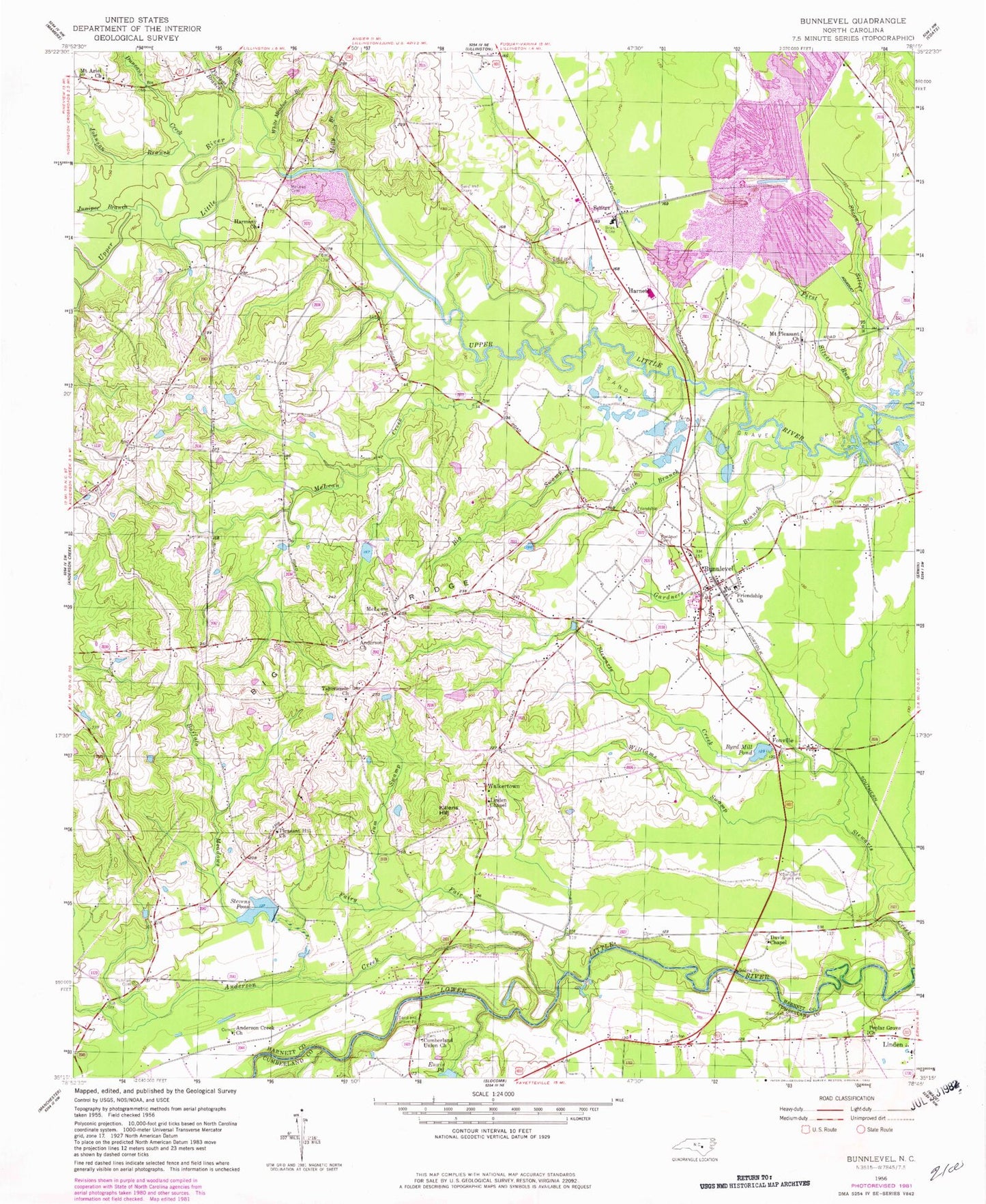
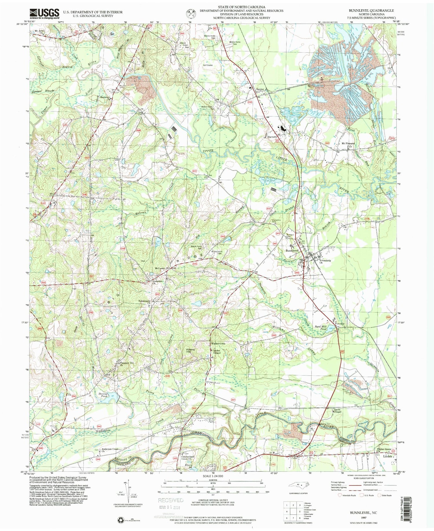
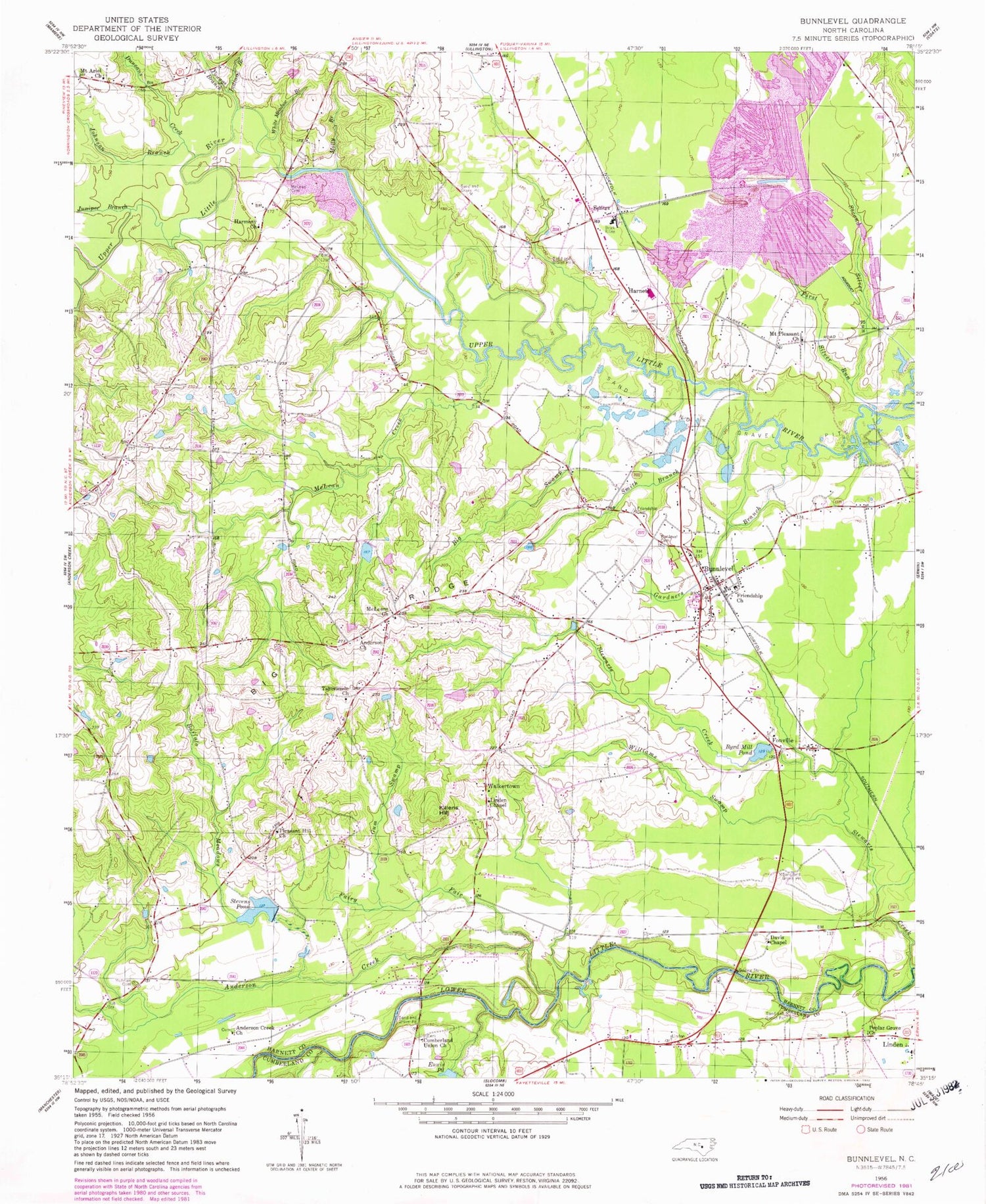
Classic USGS Bunnlevel North Carolina 7.5'x7.5' Topo Map
Couldn't load pickup availability
Historical USGS topographic quad map of Bunnlevel in the state of North Carolina. Map scale may vary for some years, but is generally around 1:24,000. Print size is approximately 24" x 27"
This quadrangle is in the following counties: Cumberland, Harnett.
The map contains contour lines, roads, rivers, towns, and lakes. Printed on high-quality waterproof paper with UV fade-resistant inks, and shipped rolled.
Contains the following named places: Anderson Church, Anderson Creek, Anderson Creek Church, Bakers Pond Dam, Big Swamp, Buffalo Meadows, Bunlevel Cemetery, Bunnlevel, Bunnlevel Census Designated Place, Bunnlevel Post Office, Bunnlevel Volunteer Fire Department, Byrd Mill Pond, Cumberland Union Church, Davis Chapel, Duncans Creek, Fairy Fair, First Silver Run, Flatwoods Community Fire Department, Fonville, Friendship Cemetery, Friendship Church, Gardners Branch, Gum Swamp, Harmony Church, Harnett, Harnett County, Harnett County Emergency Medical Service Transport and 911 Ambulance - Flatwoods, Harnett Quarry, Indian Branch, Johnson Branch, Juniper Branch, Kates Creek, Killens Hill, Linden Chapel, McArtan Cemetery, McLean Creek, McLeans Church, Molly Branch, Mount Ariel Church, Mount Pleasant Church, Pleasant Hill Church, Poplar Grove Church, Second Silver Run, Senter, Smith Branch, Stevens Pond, Stewarts Creek, Tabernacle Church, Township of Lillington, Township of Stewarts Creek, Walkertown, White Meadow Branch, Williams Swamp, Woods Lake Dam, Youngs Branch, ZIP Code: 28323


