

MyTopo
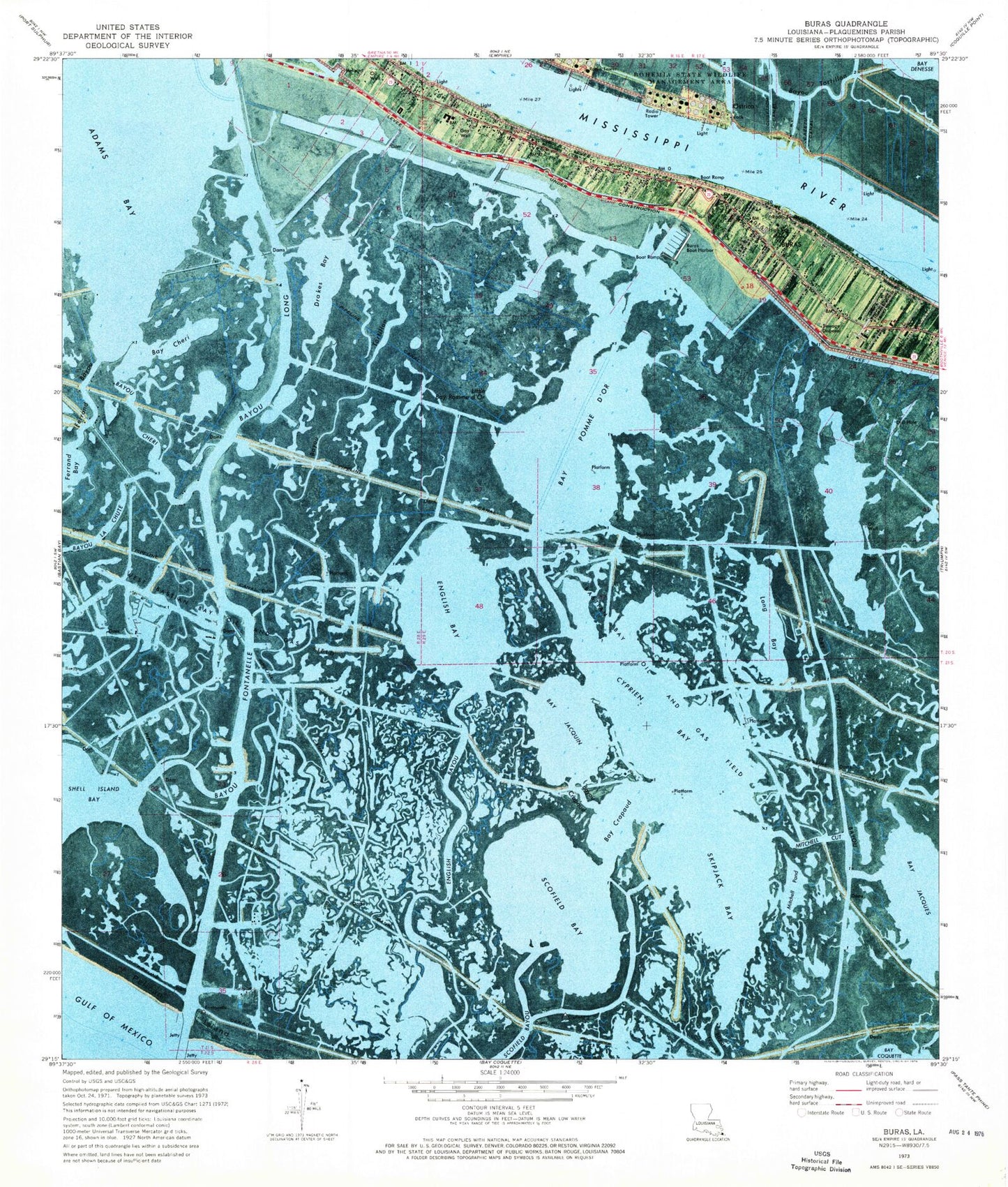
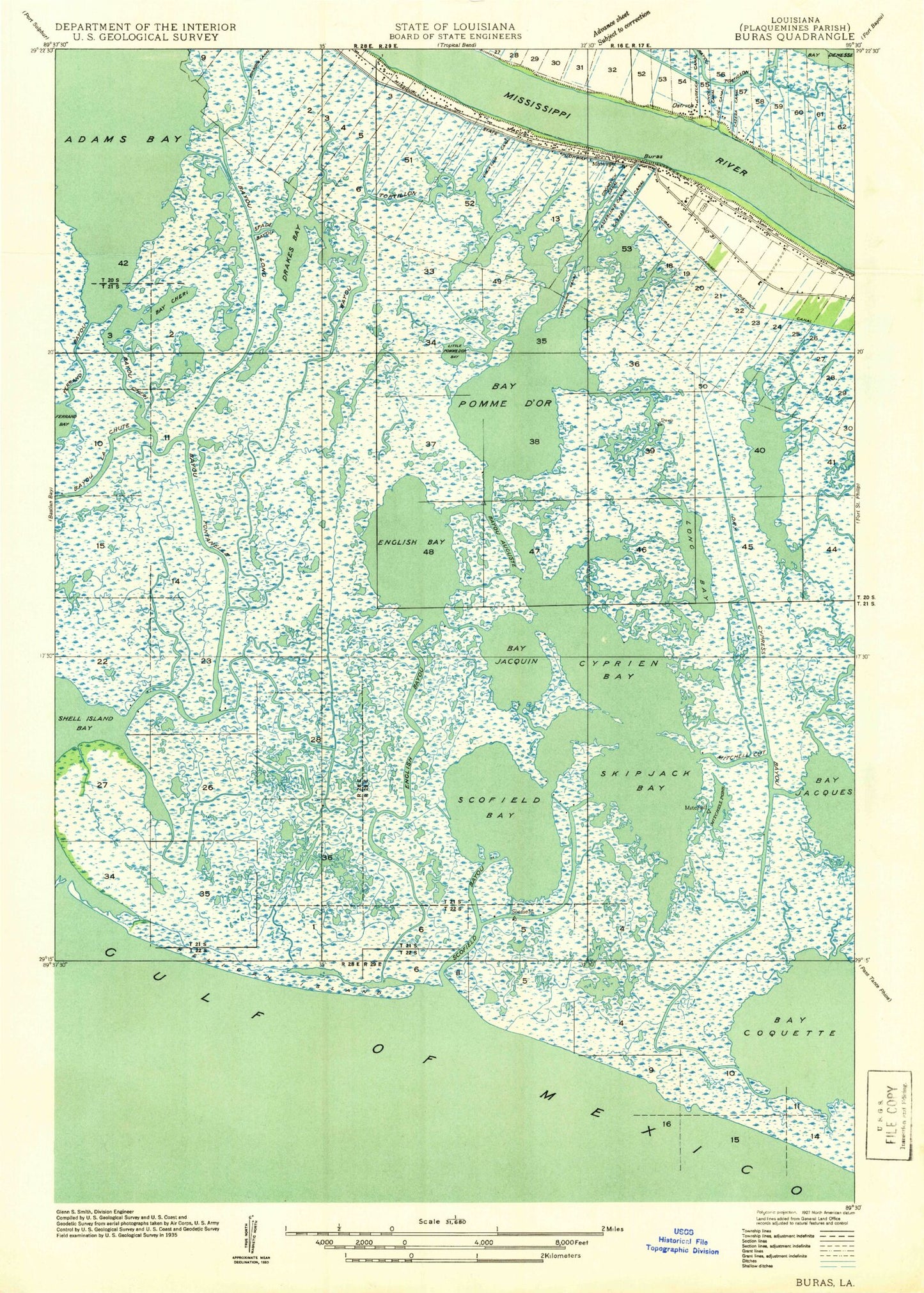
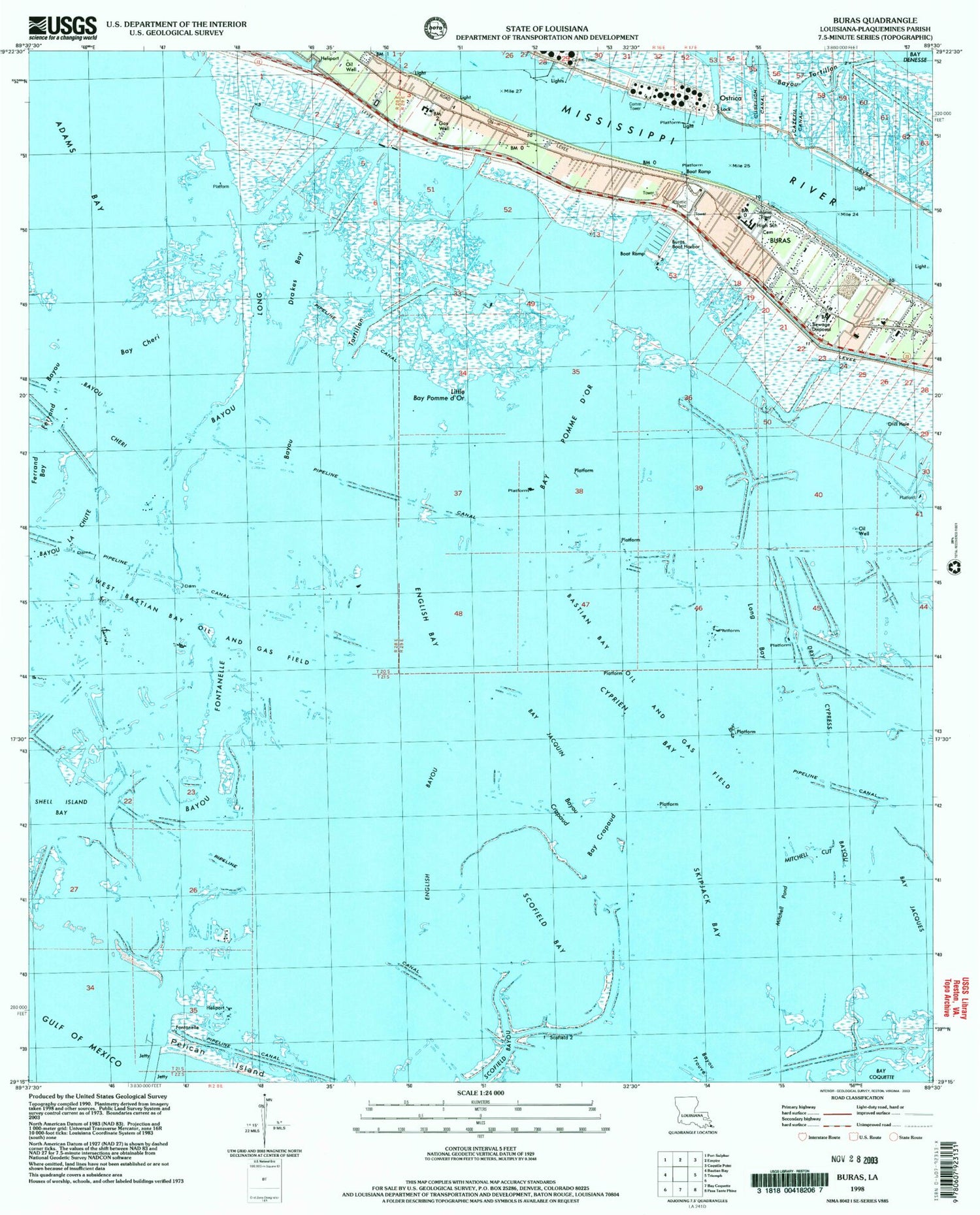
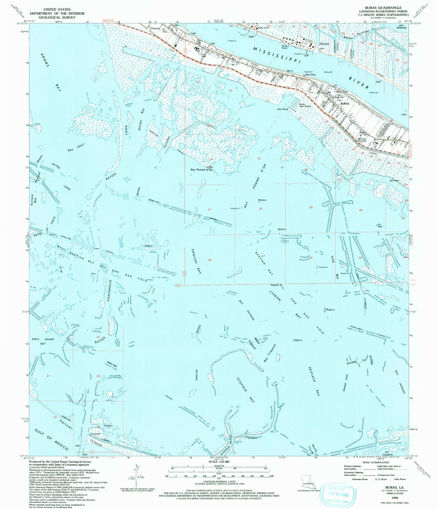
Classic USGS Buras Louisiana 7.5'x7.5' Topo Map
Couldn't load pickup availability
Historical USGS topographic quad map of Buras in the state of Louisiana. Map scale may vary for some years, but is generally around 1:24,000. Print size is approximately 24" x 27"
This quadrangle is in the following counties: Plaquemines.
The map contains contour lines, roads, rivers, towns, and lakes. Printed on high-quality waterproof paper with UV fade-resistant inks, and shipped rolled.
Contains the following named places: Adams Bay, Bastian Bay Oil and Gas Field, Bay Cheri, Bay Crapaud, Bay Jacquin, Bay Pomme d'Or, Bayou Auguste, Bayou Cheri, Bayou Crapaud, Bayou Fontanelle, Bayou La Chute, Bayou le Boon, Bayou Long, Bayou Pompadour, Bayou Tortillon, Buras, Buras Boat Harbor, Buras Census Designated Place, Buras High School, BURAS HIGH SCHOOL, Buras Revetment, Buras Volunteer Fire Department, Buras Wastewater Treatment Plant, Buras-Triumph Census Designated Place, Cazezu Canal, Cognevich Canal, Cross Canal, Cuselich Canal, Cyprien Bay, Drakes Bay, Drakes Bay Gas Field, Dry Cypress Bayou, Easterlings Canal, English Bay, English Bayou, Ferrand Bayou, Little Bay Pomme d'Or, Long Bay, Mingle Canal, Mitchell Cut, Mitchell Pond, Mount Zion Church, Ostrica, Ostrica Lock, Parish Governing Authority District 8, Pelican Island, Pilgrim Rest Church, Quarantine, Scofield Bay, Scofield Bayou, Skipjack Bay, Sunrise, Sunrise School, Swartse School, West Bastian Bay Oil and Gas Field, West Delta Brock 30 Terminal Seaplane Base