MyTopo
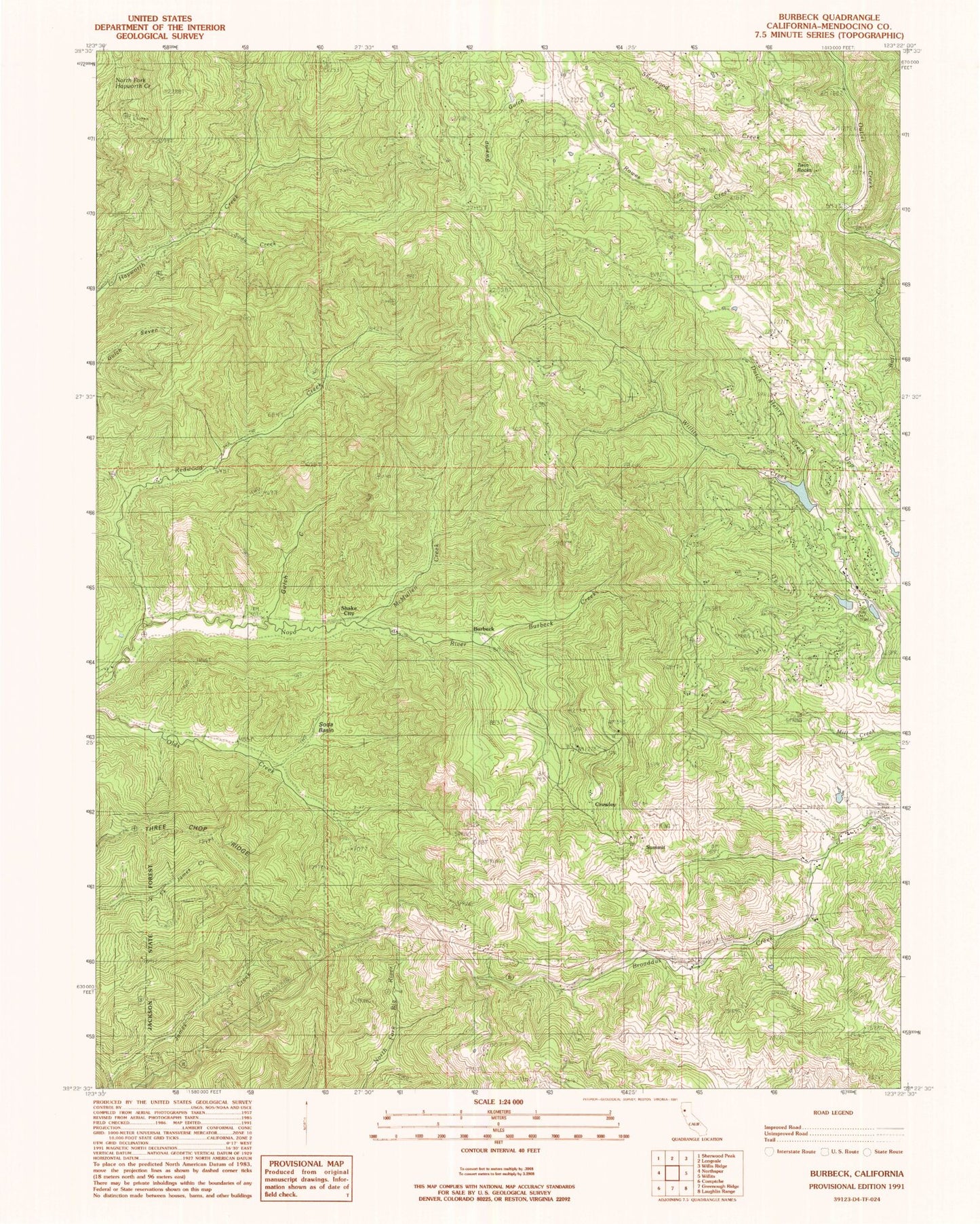
Classic USGS Burbeck California 7.5'x7.5' Topo Map
Couldn't load pickup availability
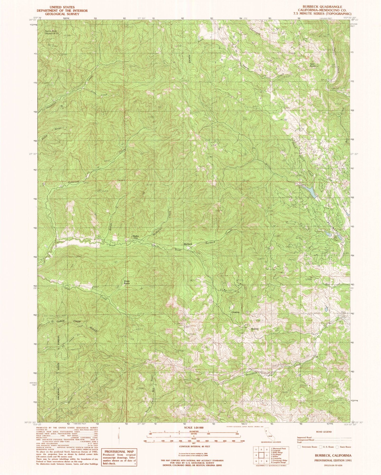
Historical USGS topographic quad map of Burbeck in the state of California. Map scale may vary for some years, but is generally around 1:24,000. Print size is approximately 24" x 27"
This quadrangle is in the following counties: Mendocino.
The map contains contour lines, roads, rivers, towns, and lakes. Printed on high-quality waterproof paper with UV fade-resistant inks, and shipped rolled.
Contains the following named places: Bennett Ranch, Brooktrails, Brooktrails Census Designated Place, Brooktrails Fire Department, Brooktrails Golf Course, Brooktrails Number 3 N 1038-003 Dam, Brooktrails Ranch, Bull Creek, Burbeck, Burbeck Creek, Cat Trail, Clare Mill, Crater, Crowley, Dutch Henry Creek, Fawn Lily Trail, Gooseberry Trail, Gulch Creek, Horseshoe Ranch, Inlet Trail, Lake Ada Rose, Lake Ada Rose 1038 Dam, Lake Emily, McMullen Creek, Meadowlark Trail, Mendocino County, Nutmeg Trail, Old Northwestern Mill, Oregon Grape Trail, Redwood Creek, Rowes, Rowes Creek, Ryan Creek, Shake City, Sherwood Creek, Soda Basin, Soda Creek, Soda Springs, Summer Lake, Summit, Swamp Gulch, Sylvandale, Tan Bark Trail, Three Chop Ridge, Twin Rocks


