MyTopo
Classic USGS Burgess Junction Wyoming 7.5'x7.5' Topo Map
Couldn't load pickup availability
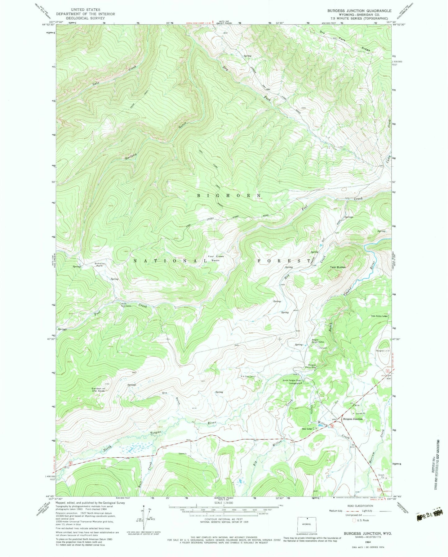
Historical USGS topographic quad map of Burgess Junction in the state of Wyoming. Typical map scale is 1:24,000, but may vary for certain years, if available. Print size: 24" x 27"
This quadrangle is in the following counties: Sheridan.
The map contains contour lines, roads, rivers, towns, and lakes. Printed on high-quality waterproof paper with UV fade-resistant inks, and shipped rolled.
Contains the following named places: Bear Lodge, Burgess Picnic Area, Burgess Ranger Station, Dry Fork Trail, Dry Gulch, Fool Creek Basin, Garden of the Gods, Hay Creek, North Tongue River Campground, P K Cow Camp, Schuler Park, Twin Buttes, Twin Buttes Lodge, Wolfe Cow Camp, Bull Park, Burgess Junction, Big Willow Creek, Bull Creek, Dry Fork Ridge, Garland Gulch, Hideout Creek, Little Willow Creek, Burgess Junction Rescue