MyTopo
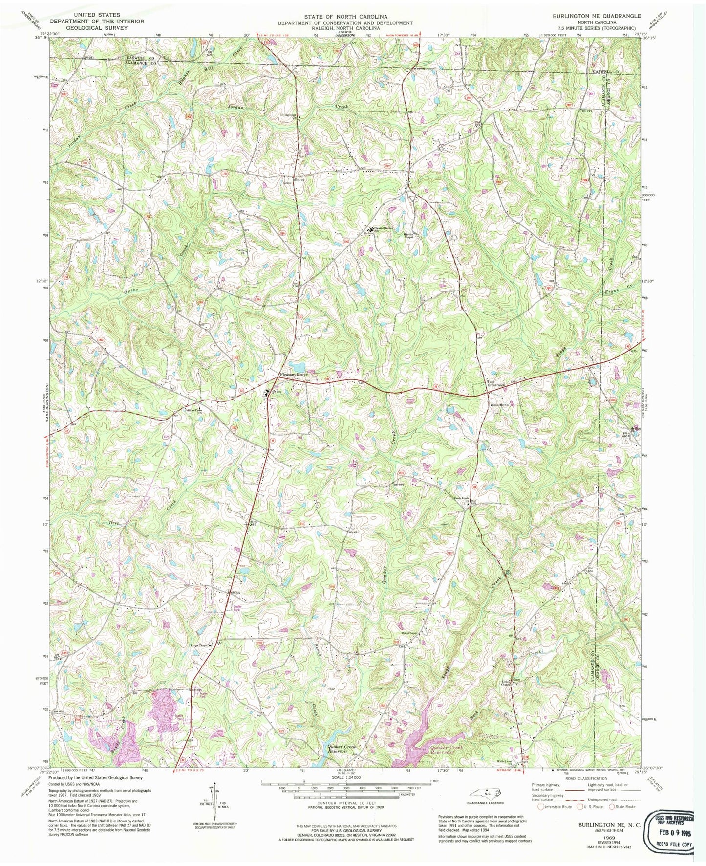
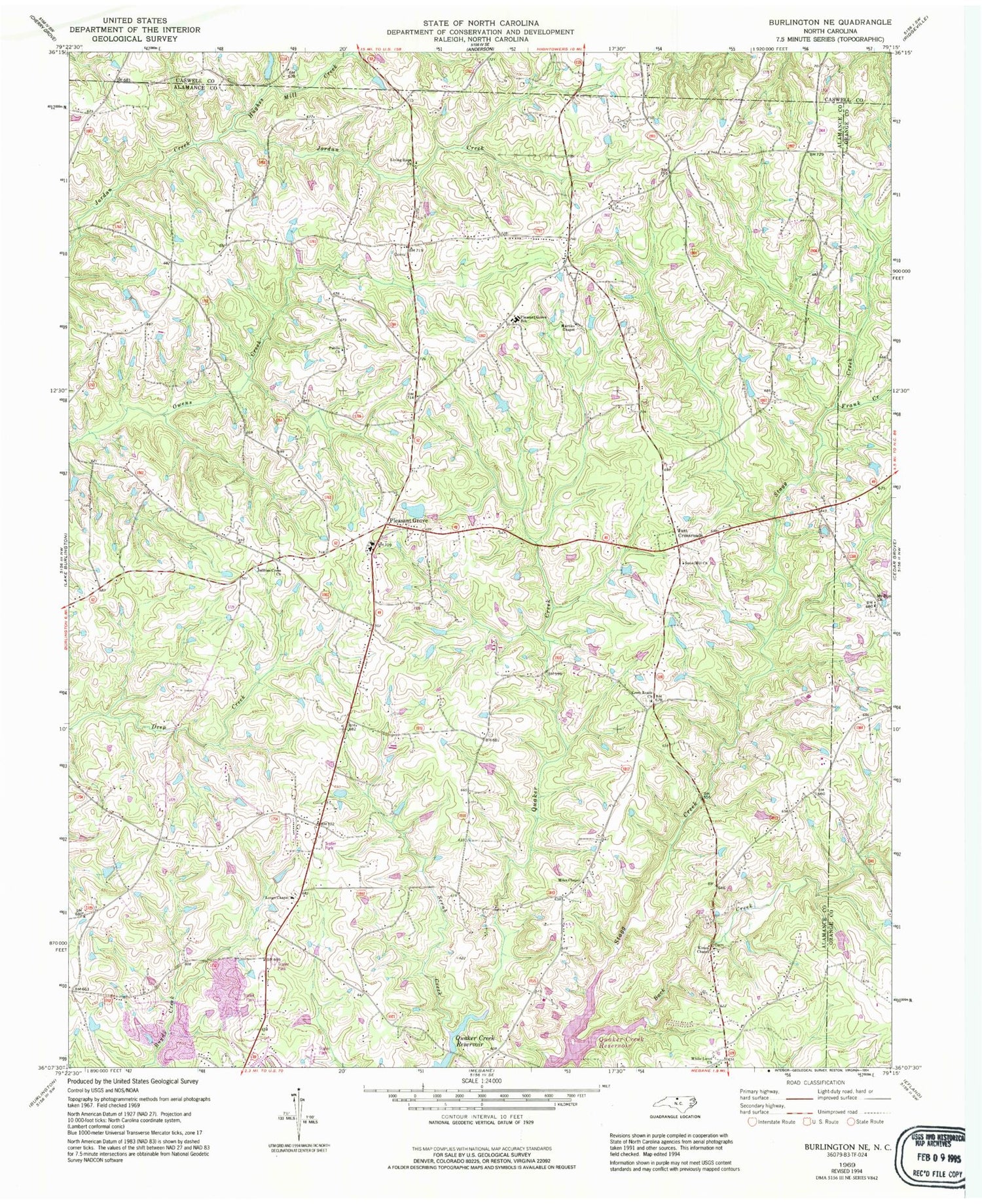
Classic USGS Burlington NE North Carolina 7.5'x7.5' Topo Map
Couldn't load pickup availability
Historical USGS topographic quad map of Burlington NE in the state of North Carolina. Map scale may vary for some years, but is generally around 1:24,000. Print size is approximately 24" x 27"
This quadrangle is in the following counties: Alamance, Caswell, Orange.
The map contains contour lines, roads, rivers, towns, and lakes. Printed on high-quality waterproof paper with UV fade-resistant inks, and shipped rolled.
Contains the following named places: Cross Roads Church, Frank Creek, Hughes Mill Creek, J R Vinson Lake Dam, Jeffries Cross Church, Just Crossroads, Kimes Chapel, Living Home Church, Longs Chapel, Martins Chapel, McCauley Lake, McCauley Lake Dam, Miles Chapel, Mount Zion Church, North Eastern Alamance Volunteer Fire Department - Pleasant Grove, Occaneechi-Saponi State Designated Tribal Statistical Area, Patillo Church, Pleasant Grove, Pleasant Grove School, Scrub Creek, Snow Hill Church, Stagg Creek, Township 11-Pleasant Grove, Vinsons Lake, White Level Church, ZIP Code: 27302


