MyTopo
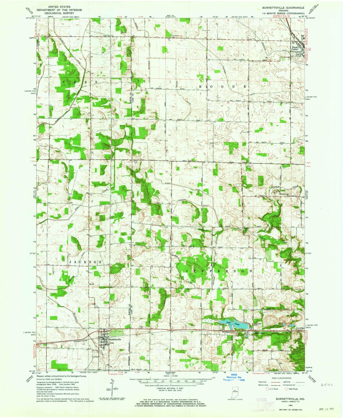
Classic USGS Burnettsville Indiana 7.5'x7.5' Topo Map
Couldn't load pickup availability
Historical USGS topographic quad map of Burnettsville in the state of Indiana. Map scale may vary for some years, but is generally around 1:24,000. Print size is approximately 24" x 27"
This quadrangle is in the following counties: Cass, White.
The map contains contour lines, roads, rivers, towns, and lakes. Printed on high-quality waterproof paper with UV fade-resistant inks, and shipped rolled.
Contains the following named places: Berkshire Ditch, Burnetts Creek Cemetery, Burnettsville, Burnettsville Post Office, Burnettsville Volunteer Fire Department, Caley Church, Center Church, Crooked Creek Church, Davis Cemetery, Eastlawn Elementary School, Fredericks Ditch, Fry Cemetery, Galbreath Ditch, Harness Ditch, Houston Ditch, Kennel Ditch, Lake Cicott, Lake Cicott Post Office, Micro-Midget Racetrack, Mortgage Trust Ditch, Myers Ditch, Strubhar Ditch, Thompson Cemetery, Town of Burnettsville, Town of Royal Center, Township of Boone, Township of Jackson, Township of Jefferson, Zion Cemetery, ZIP Codes: 46978, 47926