MyTopo
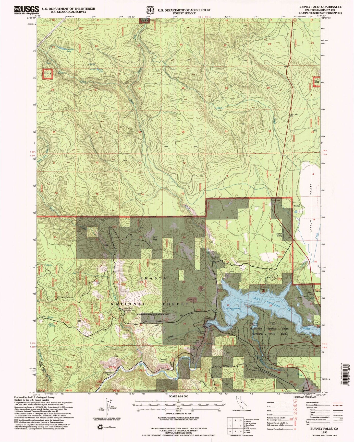
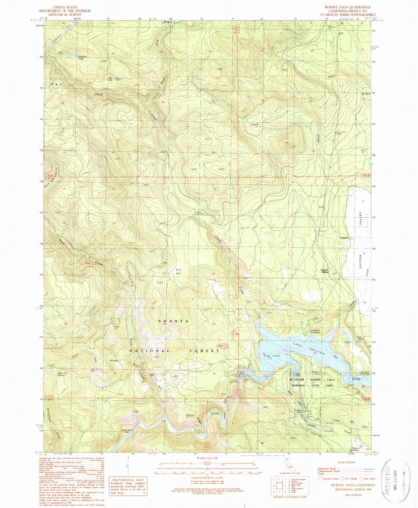
Classic USGS Burney Falls California 7.5'x7.5' Topo Map
Couldn't load pickup availability
Historical USGS topographic quad map of Burney Falls in the state of California. Map scale may vary for some years, but is generally around 1:24,000. Print size is approximately 24" x 27"
This quadrangle is in the following counties: Shasta.
The map contains contour lines, roads, rivers, towns, and lakes. Printed on high-quality waterproof paper with UV fade-resistant inks, and shipped rolled.
Contains the following named places: Bird Flat, Bird Flat Guard Station, Burney Creek, Burney Falls, Burney Falls Pioneer Cemetery, Burney Fish Hatchery, Camp Britton, Camp Nine Flat, Camp Shasta, Cayton, Cayton Cemetery, Cayton Creek, Cayton Siding, Cayton Valley, Clark Creek, Clark Creek Camp, Clark Creek Lodge, Creek Trail, Delucci Ridge, Ditch Creek, Falls Trail, Headwaters Trail, Jake Spring, Lake Britton, McArthur-Burney Falls Memorial State Park, Mount Shasta Silica Camp, North Fork Clark Creek, Northshore Campground, Owl Lake, Pit Number 3 97-098 Dam, Pit Number Three Dam, Powder Spur, Rim Campground, Rock Creek, Smokey Lake, The Pines Picnic Area


