MyTopo
Classic USGS Burney Lake Wisconsin 7.5'x7.5' Topo Map
Regular price
$16.95
Regular price
Sale price
$16.95
Unit price
per
Couldn't load pickup availability
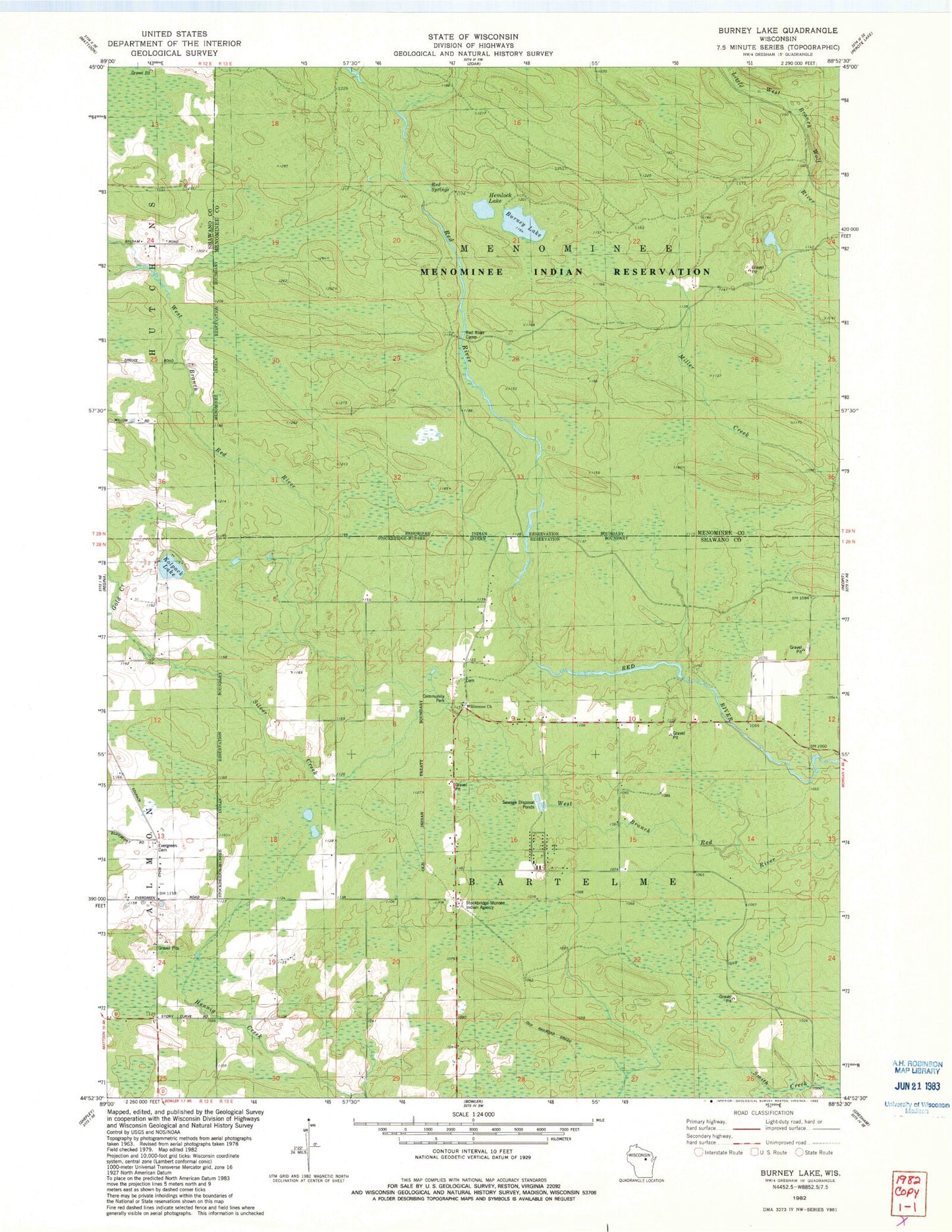
Historical USGS topographic quad map of Burney Lake in the state of Wisconsin. Map scale may vary for some years, but is generally around 1:24,000. Print size is approximately 24" x 27"
This quadrangle is in the following counties: Menominee, Shawano.
The map contains contour lines, roads, rivers, towns, and lakes. Printed on high-quality waterproof paper with UV fade-resistant inks, and shipped rolled.
Contains the following named places: Almon, Burney Lake, Gold Creek, Hemlock Lake, Kolpack Lake, Silver Creek, Stockbridge - Munsee Community Mohican Nation Police Department, Stockbridge - Munsee Volunteer Fire Department, Stockbridge Munsee Community, Town of Bartelme, ZIP Code: 54416