MyTopo
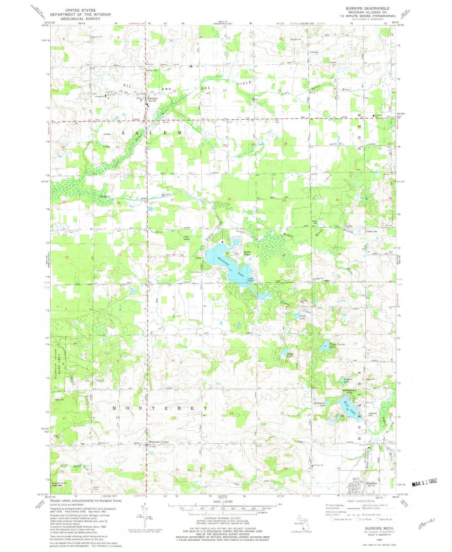
Classic USGS Burnips Michigan 7.5'x7.5' Topo Map
Couldn't load pickup availability
Historical USGS topographic quad map of Burnips in the state of Michigan. Map scale may vary for some years, but is generally around 1:24,000. Print size is approximately 24" x 27"
This quadrangle is in the following counties: Allegan.
The map contains contour lines, roads, rivers, towns, and lakes. Printed on high-quality waterproof paper with UV fade-resistant inks, and shipped rolled.
Contains the following named places: Bear Creek, Beechwood Hills Camp, Burnips, Burnips Cemetery, Burnips Post Office, Burnips United Methodist Church, Burnips Wesleyan Church, Byron Center Christian School, Cady Lake, Dallas Post Office, Dallas School, Dorr and Byron Drain, East Lake, East Lake Camping, Fairview School, Friendship Bible Church, Hartzig School, Holiday Mobile Home Park, Hopkins United Methodist Church, Indian Mission, Lake Monterey Golf Course, Lakeview Cemetery, Leggett Lake, Little Rabbit River, Market Street Church, McDermott Lake, Miller Creek, Monterey Center, Monterey Center United Methodist Church, Monterey Church, Monterey Lake, Monterey Post Office, Pickle Street School, Pigeon Creek, Plainview School, Red Run, Saint Paul Church, Saint Paul's Evangelical Lutheran Cemetery, Saint Paul's Lutheran Church, Saint Peter and Paul Lutheran School, Salem Cemetery, Salem Township Fire Department, Salem Township Library, Sandhill School, Sandy Pines, Sandy Pines RV Resort, Shipp Lake, Tanner Cemetery, Three Corner Lake, Township of Monterey, Township of Salem, Village of Hopkins, Wayland Area Ambulance Service, Winks Branch, ZIP Codes: 49323, 49328