
MyTopo
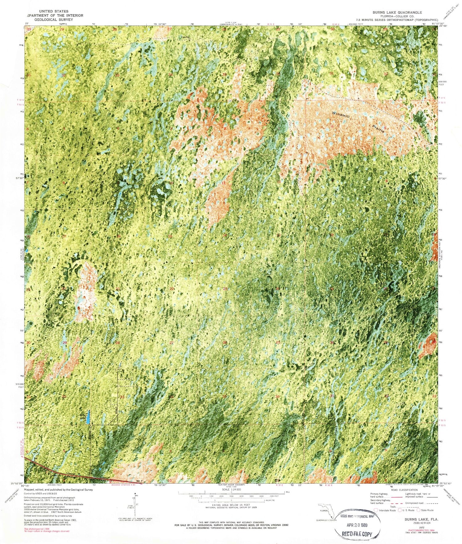
Classic USGS Burns Lake Florida 7.5'x7.5' Topo Map
Regular price
$16.95
Regular price
Sale price
$16.95
Unit price
per
Couldn't load pickup availability
Historical USGS topographic quad map of Burns Lake in the state of Florida. Map scale is 1:24000. Print size is approximately 24" x 27"
This quadrangle is in the following counties: Collier.
The map contains contour lines, roads, rivers, towns, and lakes. Printed on high-quality waterproof paper with UV fade-resistant inks, and shipped rolled.
Contains the following named places: Burns Lake, Tamiami Trail, Turner River Indian Reservation (historical), Windmill Prairie


