MyTopo
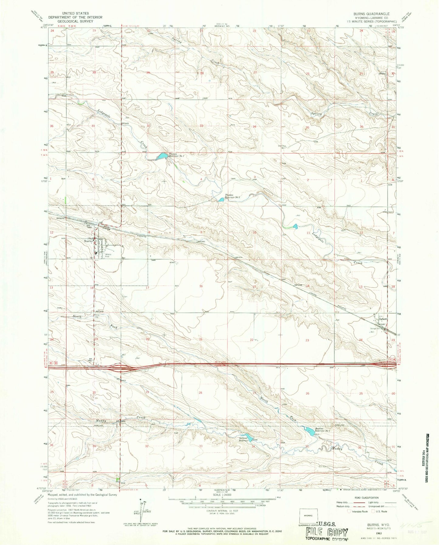
Classic USGS Burns Wyoming 7.5'x7.5' Topo Map
Couldn't load pickup availability
Historical USGS topographic quad map of Burns in the state of Wyoming. Map scale may vary for some years, but is generally around 1:24,000. Print size is approximately 24" x 27"
This quadrangle is in the following counties: Laramie.
The map contains contour lines, roads, rivers, towns, and lakes. Printed on high-quality waterproof paper with UV fade-resistant inks, and shipped rolled.
Contains the following named places: Bastian Reservoir Number 1, Burns, Burns Cemetery, Burns Elementary School, Burns Emergency Medical Services, Burns Junior - Senior High School, Burns Junior High School, Burns Lutheran Cemetery, Burns Post Office, C W Dam, C W Reservoir, Egbert, Gilland Dam, Gilland Reservoir, Kunau Pit, Laramie County Fire District 6 - Burns, North Fork Muddy Creek, Thomas Number 2 Dam, Thomas Number 2 Reservoir, Thomas Reservoir Number 1, Thomas Reservoir Number 2, Town of Burns