MyTopo
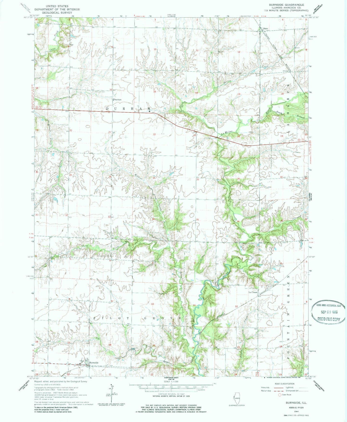
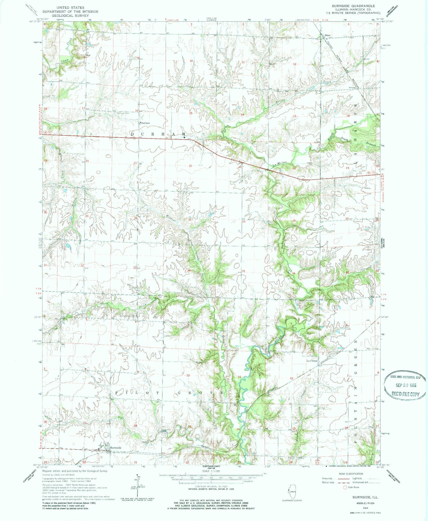
Classic USGS Burnside Illinois 7.5'x7.5' Topo Map
Couldn't load pickup availability
Historical USGS topographic quad map of Burnside in the state of Illinois. Map scale may vary for some years, but is generally around 1:24,000. Print size is approximately 24" x 27"
This quadrangle is in the following counties: Hancock.
The map contains contour lines, roads, rivers, towns, and lakes. Printed on high-quality waterproof paper with UV fade-resistant inks, and shipped rolled.
Contains the following named places: Alma Mater School, Bradshaw School, Burnside, Burnside Post Office, Disco, Douglas Airport, Durham, Durham Cemetery, Durham School, Fairview School, Forest Hill School, Grove Creek, Independence School, La Crosse, Liberty School, Madison School, McGuffy School, Pilot Grove Cemetery, Pilot Grove School, Pleasant Hill School, Shake Rag School, South Branch La Moine River, Spring Creek, Tilton School, Township of Durham, Township of Pilot Grove, Vandruff Cemetery, Victory School, Washington School, Wildcat Creek