
MyTopo
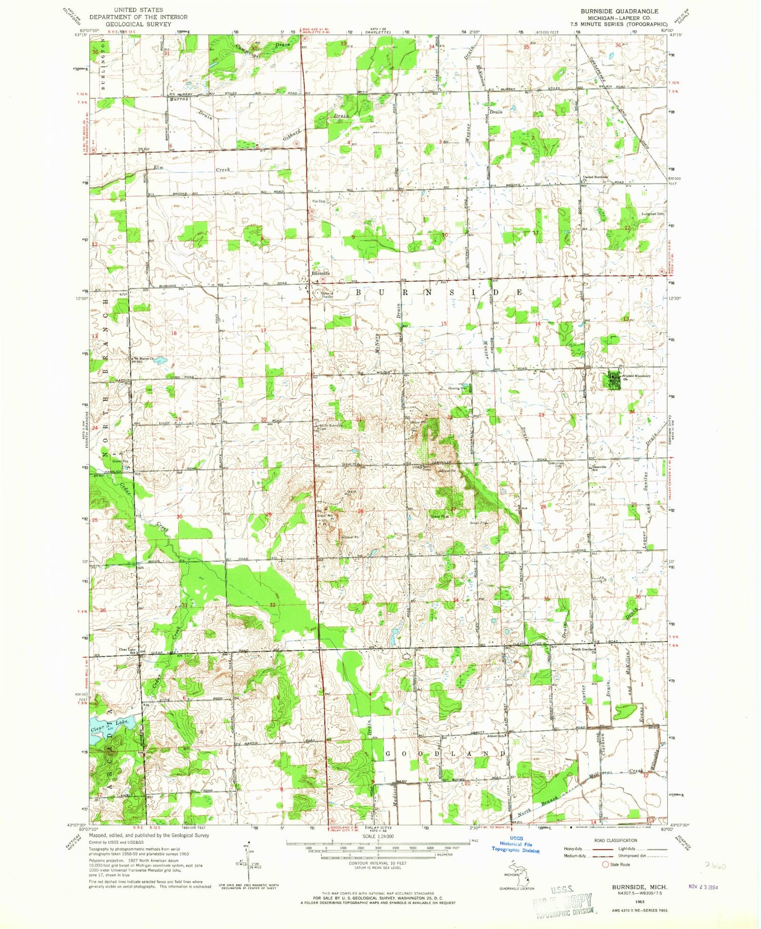
Classic USGS Burnside Michigan 7.5'x7.5' Topo Map
Couldn't load pickup availability
Historical USGS topographic quad map of Burnside in the state of Michigan. Map scale may vary for some years, but is generally around 1:24,000. Print size is approximately 24" x 27"
This quadrangle is in the following counties: Lapeer.
The map contains contour lines, roads, rivers, towns, and lakes. Printed on high-quality waterproof paper with UV fade-resistant inks, and shipped rolled.
Contains the following named places: Abbott School, Burnside, Burnside Post Office, Clarkson Drain, Clear Lake, Clear Lake School, Courter Drain, Cummings Drain, Deanville Cemetery, Deanville Post Office, Deanville School, Evans and McKillen Drain, Evergreen Cemetery, Fox Cemetery, Gibbard Drain, Index Post Office, Index Station, Madison Drain, McKimmon Drain, McNary Drain, Murray Drain, Murray Farms, Muxlow Dairy Farm, North Goodland Church, R D R Dairy Farms, Saint Mary's Catholic Cemetery, Saint Marys Church, South Burnside Cemetery, Township of Burnside, United Brethren Church, United Missionary Church, Weaver Drain


