MyTopo
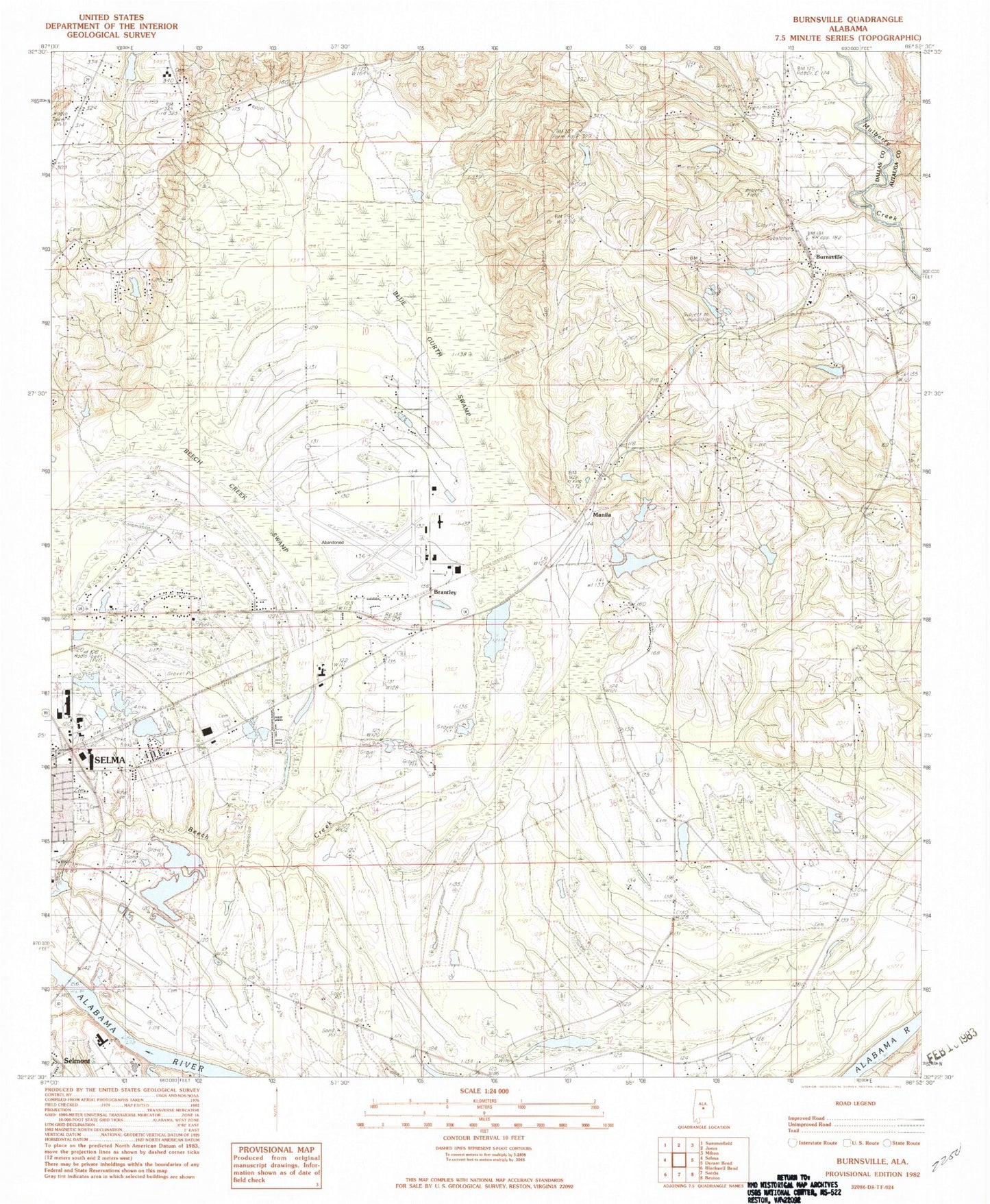
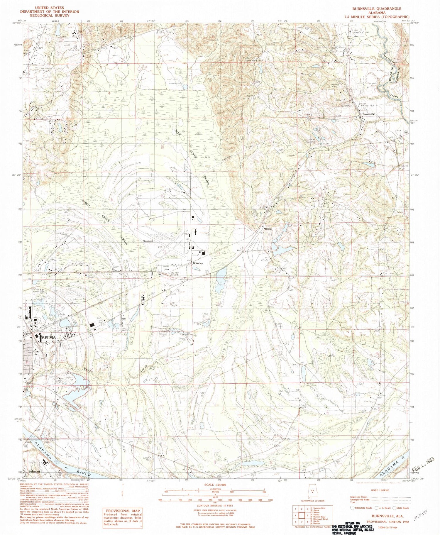
Classic USGS Burnsville Alabama 7.5'x7.5' Topo Map
Couldn't load pickup availability
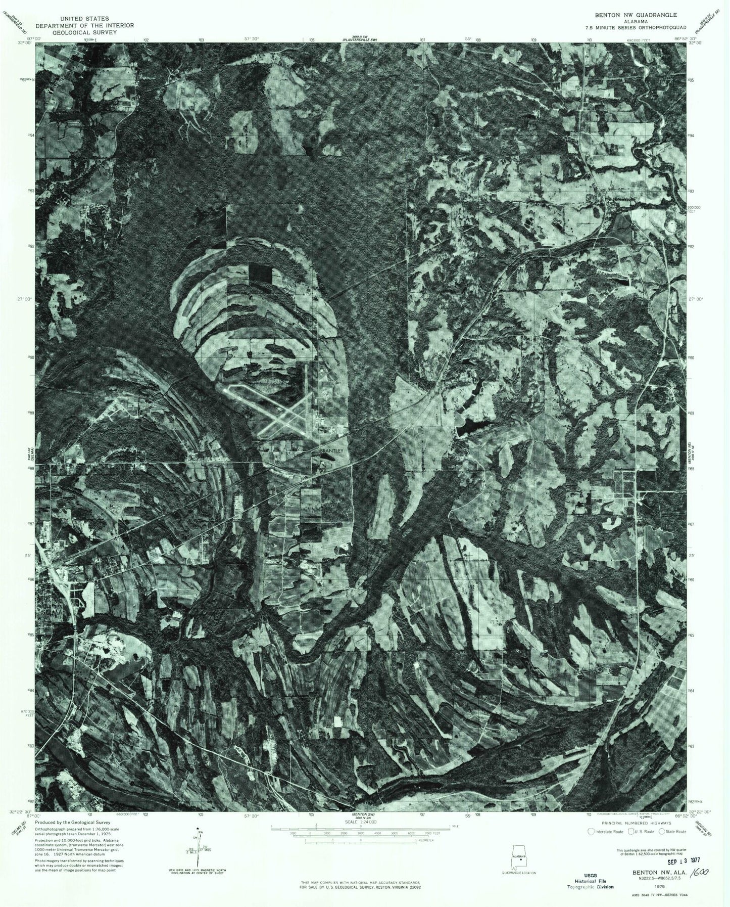
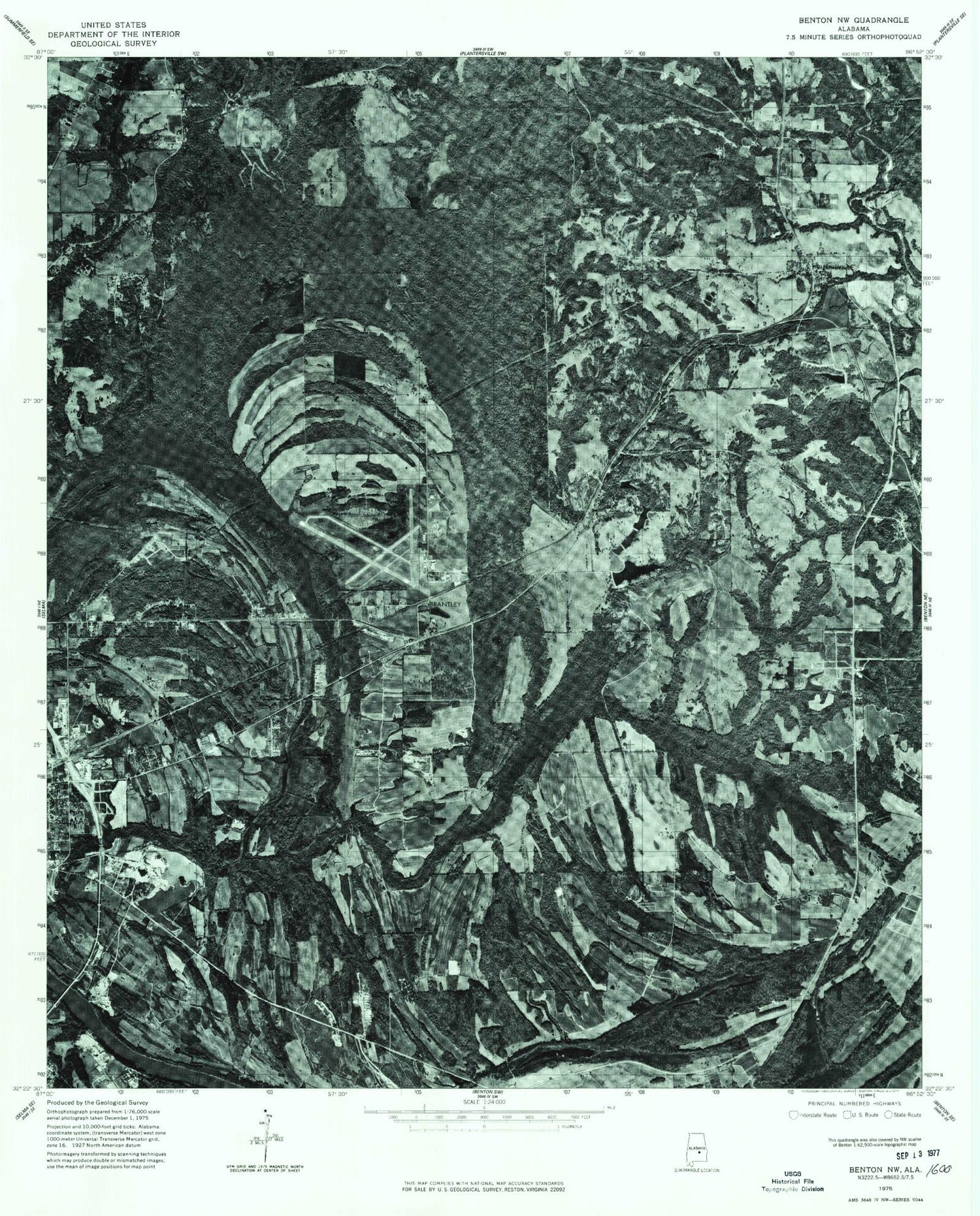
Historical USGS topographic quad map of Burnsville in the state of Alabama. Map scale may vary for some years, but is generally around 1:24,000. Print size is approximately 24" x 27"
This quadrangle is in the following counties: Autauga, Dallas.
The map contains contour lines, roads, rivers, towns, and lakes. Printed on high-quality waterproof paper with UV fade-resistant inks, and shipped rolled.
Contains the following named places: Beech Creek Swamp, Beech Island Church, Bethel Church, Blue Gurth Swamp, Brantley, Brantley High School, Burnsville, Burnsville Volunteer Fire Department, Dallas County Resource Learning Center, DuBose Family Cemetery, Elmwood Cemetery, Fairlawn Memory Gardens, Fish Trap Bar, Galilee Church, Harper Pond, Harper Pond Dam, Home Aid Cemetery, Industrial School, J Friday Number 1 Dam, J Friday Number 1 Lake, J Friday Number 2 Dam, J Friday Number 2 Lake, Jerusalem Cemetery, Jerusalem Church, Jerusalem School, Kelso Cemetery, Kornegay Bar, Lakeland Farms 12 Acre Lake, Lakeland Farms 12 Acre Lake Dam, Lilly Grove Church, Lily Grove, Manila, Mount Carmel Church, Mount Zion Baptist Church, New Brian Chapel, New Everdale, New Everdale Cemetery, New Everdale Church, New Everdale School, New Saint Luke Church, Phillip Grove Church, Saint John Church, Saint Luke Cemetery, Selfield Airport, Selfield Industrial Park, Selma Hunting Club, Selma Hunting Club Lake, Selma Hunting Club Lake Dam, Shady Grove Baptist Church, Tarver Creek, Temple Love Church, Tipton Bar, Tyrus Cemetery, Valley Grande Elementary School, Valley Grande Volunteer Fire Department Station 2, WMRK-AM (Selma), ZIP Code: 36703


