MyTopo
Classic USGS Burnt Hill Washington 7.5'x7.5' Topo Map
Regular price
$16.95
Regular price
Sale price
$16.95
Unit price
per
Couldn't load pickup availability
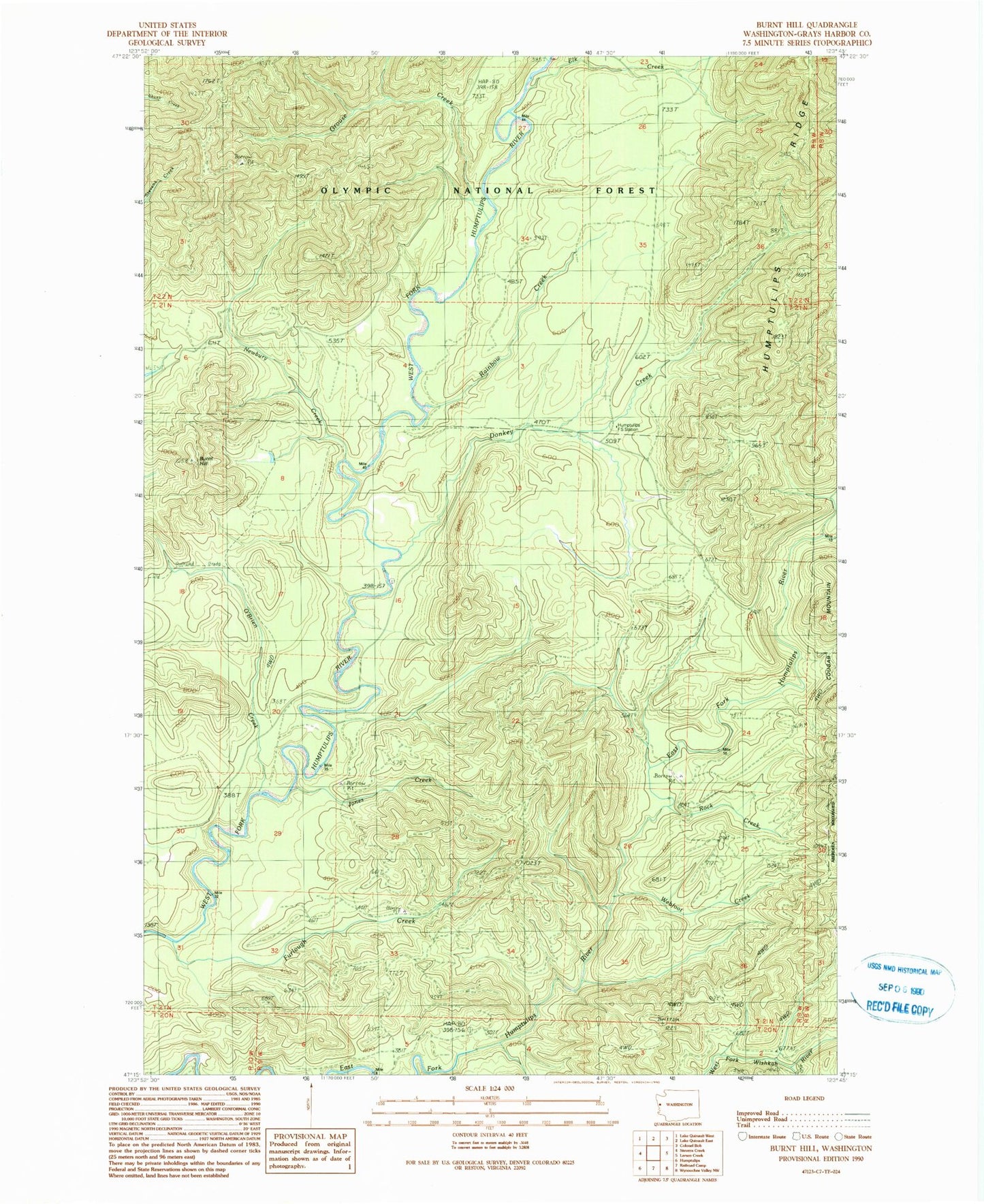
Historical USGS topographic quad map of Burnt Hill in the state of Washington. Map scale may vary for some years, but is generally around 1:24,000. Print size is approximately 24" x 27"
This quadrangle is in the following counties: Grays Harbor.
The map contains contour lines, roads, rivers, towns, and lakes. Printed on high-quality waterproof paper with UV fade-resistant inks, and shipped rolled.
Contains the following named places: Burnt Hill, Donkey Creek, Elk Creek, Furlough Creek, Grouse Creek, Humptulips Guard Station, Humptulips Ridge Lookout, Jones Creek, Newbury Creek, O'Brien Creek, Rainbow Creek, Rock Creek, Township 21-9, Webfoot Creek